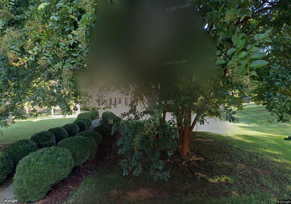
510 8th St SW Conover, NC 28613
Estimated Value: $425,000 - $454,000
4
Beds
3
Baths
2,905
Sq Ft
$151/Sq Ft
Est. Value
About This Home
This home is located at 510 8th St SW, Conover, NC 28613 and is currently estimated at $439,009, approximately $151 per square foot. 510 8th St SW is a home located in Catawba County with nearby schools including Shuford Elementary School, Newton-Conover Middle School, and Newton-Conover High School.
Ownership History
Date
Name
Owned For
Owner Type
Purchase Details
Closed on
Mar 17, 2008
Sold by
Warren Carl Monroe and Warren Linda D
Bought by
Stewart David L and Stewart Sybil B
Current Estimated Value
Home Financials for this Owner
Home Financials are based on the most recent Mortgage that was taken out on this home.
Original Mortgage
$370,000
Interest Rate
5.62%
Mortgage Type
Purchase Money Mortgage
Purchase Details
Closed on
Mar 6, 2008
Sold by
Warren Carl Monroe and Bradshaw Loretta W
Bought by
Warren Carl Monroe and Bradshaw Loretta W
Home Financials for this Owner
Home Financials are based on the most recent Mortgage that was taken out on this home.
Original Mortgage
$370,000
Interest Rate
5.62%
Mortgage Type
Purchase Money Mortgage
Purchase Details
Closed on
Mar 29, 1984
Sold by
Warren Carl M
Bought by
Warren Linda D
Create a Home Valuation Report for This Property
The Home Valuation Report is an in-depth analysis detailing your home's value as well as a comparison with similar homes in the area
Home Values in the Area
Average Home Value in this Area
Purchase History
| Date | Buyer | Sale Price | Title Company |
|---|---|---|---|
| Stewart David L | $400,000 | None Available | |
| Warren Carl Monroe | -- | None Available | |
| Warren Linda D | $62,000 | -- |
Source: Public Records
Mortgage History
| Date | Status | Borrower | Loan Amount |
|---|---|---|---|
| Closed | Stewart David L | $370,000 |
Source: Public Records
Tax History Compared to Growth
Tax History
| Year | Tax Paid | Tax Assessment Tax Assessment Total Assessment is a certain percentage of the fair market value that is determined by local assessors to be the total taxable value of land and additions on the property. | Land | Improvement |
|---|---|---|---|---|
| 2025 | $3,383 | $426,400 | $26,600 | $399,800 |
| 2024 | $3,383 | $426,400 | $26,600 | $399,800 |
| 2023 | $3,383 | $426,400 | $26,600 | $399,800 |
| 2022 | $2,539 | $236,200 | $26,600 | $209,600 |
| 2021 | $2,539 | $236,200 | $26,600 | $209,600 |
| 2020 | $2,539 | $236,200 | $26,600 | $209,600 |
| 2019 | $2,539 | $236,200 | $0 | $0 |
| 2018 | $2,622 | $243,900 | $26,600 | $217,300 |
| 2017 | $2,549 | $0 | $0 | $0 |
| 2016 | $2,549 | $0 | $0 | $0 |
| 2015 | $2,145 | $243,900 | $26,600 | $217,300 |
| 2014 | $2,145 | $230,600 | $20,600 | $210,000 |
Source: Public Records
Map
Nearby Homes
- 605 8th Ave SW Unit C-1
- 2661 N Ashe Ave
- 603 2nd Street Place SW
- 227 W 27th St
- 1106 3rd Street Dr SE
- 111 6th Ave NE
- 606 6th Street Ct NW
- 502 3rd Ave NE
- 102 Brandywine Dr NE Unit T1
- 2075 N Whisnant Ave
- 510 4th Ave NE
- 811 4th St NE
- 10 Maple Ct
- 1002 4th St NE
- 210 W 15th St
- 118 W 15th St
- The Piedmont Plan at Rowe Crossing
- The Braselton II Plan at Rowe Crossing
- The Caldwell Plan at Rowe Crossing
- The Benson II Plan at Rowe Crossing