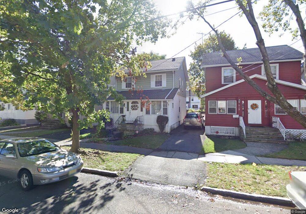
510 Beardsley Ave Bloomfield, NJ 07003
Estimated Value: $496,000 - $537,000
--
Bed
--
Bath
1,529
Sq Ft
$335/Sq Ft
Est. Value
About This Home
This home is located at 510 Beardsley Ave, Bloomfield, NJ 07003 and is currently estimated at $512,311, approximately $335 per square foot. 510 Beardsley Ave is a home located in Essex County with nearby schools including Carteret School, Bloomfield Middle School, and Bloomfield High School.
Ownership History
Date
Name
Owned For
Owner Type
Purchase Details
Closed on
Aug 20, 1993
Sold by
G E Capital Mortgage
Bought by
Colauhoun Egbert and Colauhoun Carline
Current Estimated Value
Home Financials for this Owner
Home Financials are based on the most recent Mortgage that was taken out on this home.
Original Mortgage
$72,000
Interest Rate
7%
Purchase Details
Closed on
Apr 14, 1993
Sold by
Fontoura Armando B Sheriff
Bought by
G E Capital Mortgage Services Inc
Purchase Details
Closed on
Aug 15, 1989
Sold by
Coponi Carole M
Bought by
Coponi Lisa
Create a Home Valuation Report for This Property
The Home Valuation Report is an in-depth analysis detailing your home's value as well as a comparison with similar homes in the area
Home Values in the Area
Average Home Value in this Area
Purchase History
| Date | Buyer | Sale Price | Title Company |
|---|---|---|---|
| Colauhoun Egbert | $90,000 | -- | |
| Colquhoun Egbert J | $90,000 | -- | |
| G E Capital Mortgage Services Inc | $100 | -- | |
| Coponi Lisa | -- | -- |
Source: Public Records
Mortgage History
| Date | Status | Borrower | Loan Amount |
|---|---|---|---|
| Closed | Colquhoun Egbert J | $72,000 |
Source: Public Records
Tax History Compared to Growth
Tax History
| Year | Tax Paid | Tax Assessment Tax Assessment Total Assessment is a certain percentage of the fair market value that is determined by local assessors to be the total taxable value of land and additions on the property. | Land | Improvement |
|---|---|---|---|---|
| 2025 | $9,915 | $292,300 | $89,200 | $203,100 |
| 2024 | $9,552 | $292,300 | $89,200 | $203,100 |
| 2022 | $9,359 | $292,300 | $89,200 | $203,100 |
| 2021 | $9,187 | $292,300 | $89,200 | $203,100 |
| 2020 | $9,047 | $292,300 | $89,200 | $203,100 |
| 2019 | $8,133 | $204,300 | $88,000 | $116,300 |
| 2018 | $8,098 | $204,300 | $88,000 | $116,300 |
| 2017 | $7,976 | $204,300 | $88,000 | $116,300 |
| 2016 | $7,886 | $204,300 | $88,000 | $116,300 |
| 2015 | $7,814 | $204,300 | $88,000 | $116,300 |
| 2014 | $7,671 | $204,300 | $88,000 | $116,300 |
Source: Public Records
Map
Nearby Homes
- 107 La France Ave
- 17 Chauncey Ave
- 12 Madison Ave
- 28 Lafayette Ave
- 18 Whitman Ave
- 413 Beardsley Ave Unit 3
- 413 Beardsley Ave
- 7 Whitman Ave
- 149 Leslie St
- 42 La France Ave
- 220 N 17th St
- 228 N 17th St
- 527 N Grove St
- 458 N Walnut St
- 509 N Grove St
- 65 Leslie St
- 141 N 16th St
- 205 N 15th St
- 188 Rutledge Ave
- 512 Beardsley Ave
- 506 Beardsley Ave
- 504 Beardsley Ave
- 518 Beardsley Ave
- 123 Waldo Ave
- 125 Waldo Ave
- 129 Waldo Ave
- 117 Waldo Ave
- 522 Beardsley Ave
- 522 Beardsley Ave Unit 1
- 159 La France Ave
- 163 La France Ave
- 157 La France Ave
- 131 Waldo Ave
- 509 Beardsley Ave Unit 1
- 509 Beardsley Ave Unit 1 R
- 509 Beardsley Ave
- 165 La France Ave
- 507 Beardsley Ave Unit C
- 507 Beardsley Ave