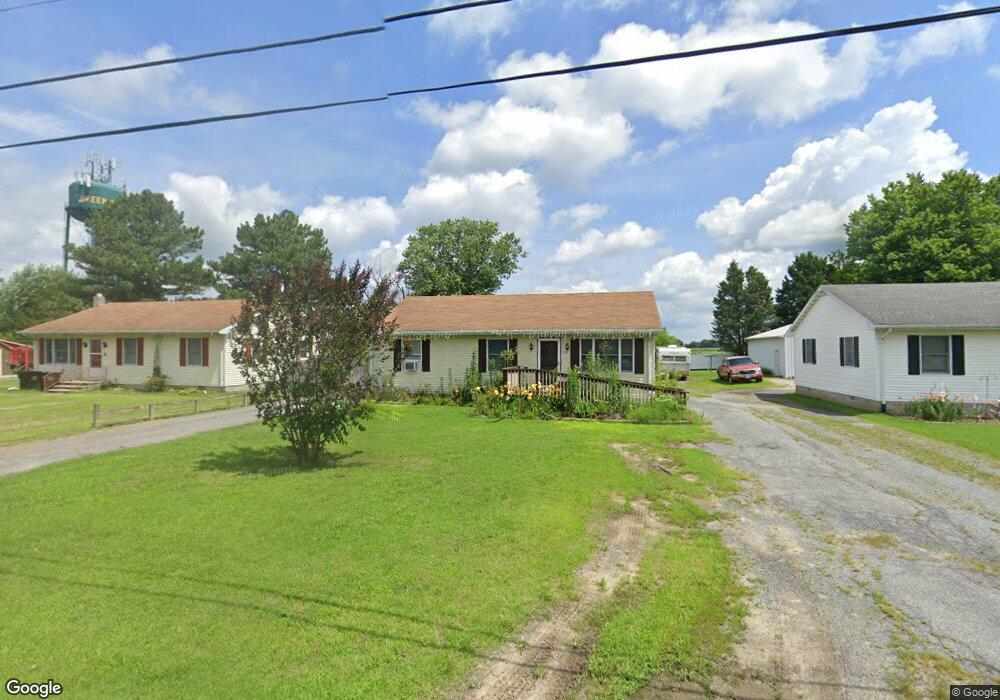
510 Bernard Ave Greensboro, MD 21639
Estimated Value: $213,000 - $256,000
--
Bed
1
Bath
1,120
Sq Ft
$202/Sq Ft
Est. Value
About This Home
This home is located at 510 Bernard Ave, Greensboro, MD 21639 and is currently estimated at $226,059, approximately $201 per square foot. 510 Bernard Ave is a home located in Caroline County with nearby schools including Greensboro Elementary School, Lockerman Middle School, and North Caroline High School.
Ownership History
Date
Name
Owned For
Owner Type
Purchase Details
Closed on
Aug 26, 2024
Sold by
Anthony Marie Elaine and Anthony Shayne T
Bought by
Simmons William E
Current Estimated Value
Home Financials for this Owner
Home Financials are based on the most recent Mortgage that was taken out on this home.
Original Mortgage
$105,555
Outstanding Balance
$104,426
Interest Rate
6.73%
Mortgage Type
New Conventional
Estimated Equity
$121,633
Purchase Details
Closed on
Feb 15, 1980
Sold by
Lynch James H and Lynch Mary B
Bought by
Anthony Marie Elaine
Home Financials for this Owner
Home Financials are based on the most recent Mortgage that was taken out on this home.
Original Mortgage
$34,210
Interest Rate
12.88%
Create a Home Valuation Report for This Property
The Home Valuation Report is an in-depth analysis detailing your home's value as well as a comparison with similar homes in the area
Home Values in the Area
Average Home Value in this Area
Purchase History
| Date | Buyer | Sale Price | Title Company |
|---|---|---|---|
| Simmons William E | $100,000 | Eastern Shore Title | |
| Anthony Marie Elaine | $4,000 | -- |
Source: Public Records
Mortgage History
| Date | Status | Borrower | Loan Amount |
|---|---|---|---|
| Open | Simmons William E | $105,555 | |
| Previous Owner | Anthony Marie Elaine | $34,210 |
Source: Public Records
Tax History Compared to Growth
Tax History
| Year | Tax Paid | Tax Assessment Tax Assessment Total Assessment is a certain percentage of the fair market value that is determined by local assessors to be the total taxable value of land and additions on the property. | Land | Improvement |
|---|---|---|---|---|
| 2025 | $2,659 | $187,000 | $0 | $0 |
| 2024 | $2,659 | $179,500 | $32,300 | $147,200 |
| 2023 | $2,474 | $160,967 | $0 | $0 |
| 2022 | $2,317 | $142,433 | $0 | $0 |
| 2021 | $2,114 | $123,900 | $32,300 | $91,600 |
| 2020 | $2,114 | $119,300 | $0 | $0 |
| 2019 | $2,055 | $114,700 | $0 | $0 |
| 2018 | $352 | $110,100 | $32,300 | $77,800 |
| 2017 | $396 | $110,100 | $0 | $0 |
| 2016 | -- | $110,100 | $0 | $0 |
| 2015 | $1,919 | $122,800 | $0 | $0 |
| 2014 | $1,919 | $122,800 | $0 | $0 |
Source: Public Records
Map
Nearby Homes
- 511 Bernard Ave
- 113 Parkland Rd
- 102 Roe St
- 121 Parkland Rd
- 125 Parkland Rd
- 119 Parkland Rd
- 123 Parkland Rd
- 131 Hobbs St
- 120 Parkland Rd
- 124 Parkland Rd
- 517 W Sunset Ave
- 603 W Sunset Ave
- SULLIVAN Plan at Kinnamon Meadows
- PERRY Plan at Kinnamon Meadows
- CURTIS Plan at Kinnamon Meadows
- HELENA Plan at Kinnamon Meadows
- 605 W Sunset Ave
- 402 LOT 2 W Sunset Ave
- 402 Lot 3 N S Sunset Ave
- 707 W Sunset Ave