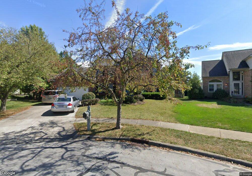
510 Big Rock Ct Westerville, OH 43082
Genoa NeighborhoodEstimated Value: $499,000 - $518,644
4
Beds
3
Baths
2,697
Sq Ft
$189/Sq Ft
Est. Value
About This Home
This home is located at 510 Big Rock Ct, Westerville, OH 43082 and is currently estimated at $509,911, approximately $189 per square foot. 510 Big Rock Ct is a home located in Delaware County with nearby schools including Robert Frost Elementary School, Heritage Middle School, and Westerville-North High School.
Ownership History
Date
Name
Owned For
Owner Type
Purchase Details
Closed on
May 1, 1995
Sold by
Bell Albert J
Bought by
Lake James P and Lake Margaret A
Current Estimated Value
Home Financials for this Owner
Home Financials are based on the most recent Mortgage that was taken out on this home.
Original Mortgage
$130,000
Interest Rate
7.25%
Mortgage Type
New Conventional
Create a Home Valuation Report for This Property
The Home Valuation Report is an in-depth analysis detailing your home's value as well as a comparison with similar homes in the area
Home Values in the Area
Average Home Value in this Area
Purchase History
| Date | Buyer | Sale Price | Title Company |
|---|---|---|---|
| Lake James P | $223,000 | -- |
Source: Public Records
Mortgage History
| Date | Status | Borrower | Loan Amount |
|---|---|---|---|
| Closed | Lake James P | $130,000 |
Source: Public Records
Tax History Compared to Growth
Tax History
| Year | Tax Paid | Tax Assessment Tax Assessment Total Assessment is a certain percentage of the fair market value that is determined by local assessors to be the total taxable value of land and additions on the property. | Land | Improvement |
|---|---|---|---|---|
| 2024 | $7,794 | $149,240 | $32,410 | $116,830 |
| 2023 | $7,516 | $149,240 | $32,410 | $116,830 |
| 2022 | $7,364 | $113,120 | $22,190 | $90,930 |
| 2021 | $7,427 | $113,120 | $22,190 | $90,930 |
| 2020 | $7,476 | $113,120 | $22,190 | $90,930 |
| 2019 | $6,449 | $93,210 | $19,290 | $73,920 |
| 2018 | $6,340 | $93,210 | $19,290 | $73,920 |
| 2017 | $6,297 | $88,800 | $18,520 | $70,280 |
| 2016 | $6,590 | $88,800 | $18,520 | $70,280 |
| 2015 | $6,304 | $88,800 | $18,520 | $70,280 |
| 2014 | $6,367 | $88,800 | $18,520 | $70,280 |
| 2013 | $6,177 | $86,110 | $18,520 | $67,590 |
Source: Public Records
Map
Nearby Homes
- 718 Sugar Ct
- 656 Olde Mill Dr
- 672 Stonefield Dr
- 754 Kingsmead Rd Unit 18754
- 547 County Line Rd
- 974 Lakeland Dr
- 912 Lakeway Ct E
- 150 Matthew Ave
- 267 Windemere Place
- 175 Nottingham Ct
- 223 Dogwood Ln
- 589 E College Ave
- 6685 Tussic Street Rd
- 7568 Park Bend Ct
- 1155 Ashford Ct
- 768 Collingwood Dr
- 368 E College Ave
- 364 E College Ave
- 348 Buck Run Trail
- 6618 Wild Rose Ln
- 507 Big Rock Ct
- 516 Big Rock Ct
- 501 Olde Mill Dr
- 509 Olde Mill Dr
- 491 Olde Mill Dr
- 708 Tami Sue Ct
- 519 Olde Mill Dr
- 700 Tami Sue Ct
- 513 Big Rock Ct
- 716 Tami Sue Ct
- 694 Tami Sue Ct
- 524 Big Rock Ct
- 529 Olde Mill Dr
- 481 Olde Mill Dr
- 677 Big Rock Dr
- 0 Tami Sue Ct
- 537 Olde Mill Dr
- 690 Tami Sue Ct
- 512 Olde Mill Dr
- 498 Olde Mill Dr