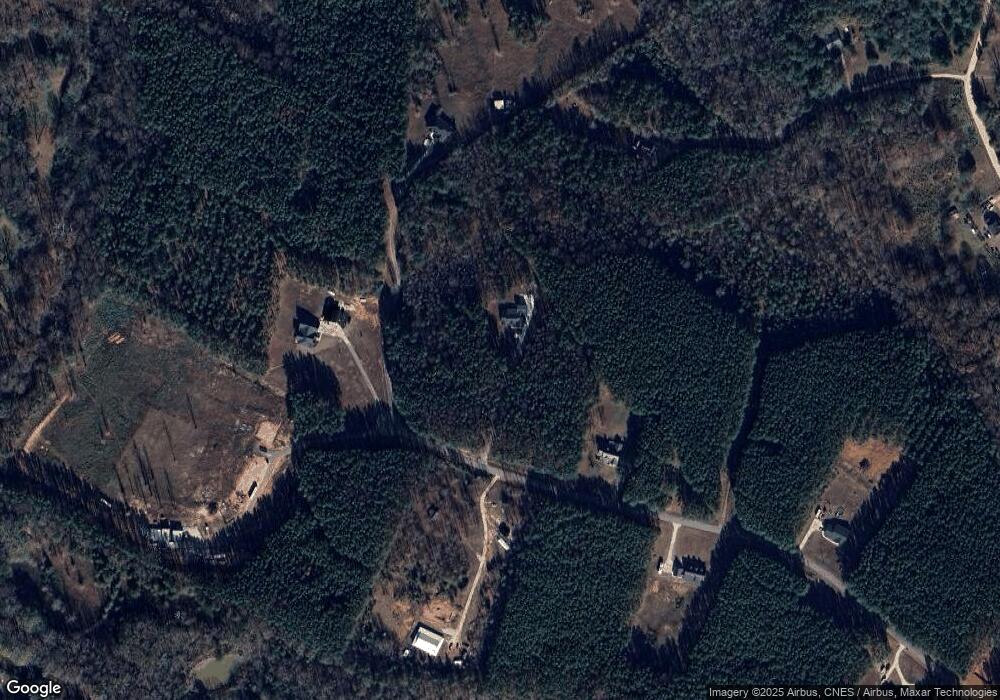
510 Commonwealth Dr Martin, GA 30557
Estimated Value: $316,000 - $490,000
3
Beds
--
Bath
2,277
Sq Ft
$178/Sq Ft
Est. Value
About This Home
This home is located at 510 Commonwealth Dr, Martin, GA 30557 and is currently estimated at $405,735, approximately $178 per square foot. 510 Commonwealth Dr is a home with nearby schools including Franklin County High School.
Ownership History
Date
Name
Owned For
Owner Type
Purchase Details
Closed on
Oct 28, 2019
Sold by
Gay Michael
Bought by
Prickett Krystal and Prickett Jeffrey
Current Estimated Value
Purchase Details
Closed on
Jun 7, 2007
Sold by
Not Provided
Bought by
Gay Gay Michael Michael and Gay Meredith S
Create a Home Valuation Report for This Property
The Home Valuation Report is an in-depth analysis detailing your home's value as well as a comparison with similar homes in the area
Home Values in the Area
Average Home Value in this Area
Purchase History
| Date | Buyer | Sale Price | Title Company |
|---|---|---|---|
| Prickett Krystal | $17,700 | -- | |
| Gay Gay Michael Michael | $29,900 | -- |
Source: Public Records
Tax History Compared to Growth
Tax History
| Year | Tax Paid | Tax Assessment Tax Assessment Total Assessment is a certain percentage of the fair market value that is determined by local assessors to be the total taxable value of land and additions on the property. | Land | Improvement |
|---|---|---|---|---|
| 2024 | $3,584 | $152,567 | $9,624 | $142,943 |
| 2023 | $3,549 | $139,572 | $9,624 | $129,948 |
| 2022 | $3,252 | $128,047 | $9,624 | $118,423 |
| 2021 | $2,825 | $104,692 | $5,652 | $99,040 |
| 2020 | $157 | $5,652 | $5,652 | $0 |
| 2019 | $152 | $5,652 | $5,652 | $0 |
| 2018 | $172 | $6,397 | $6,397 | $0 |
| 2017 | $179 | $6,397 | $6,397 | $0 |
| 2016 | $187 | $6,397 | $6,397 | $0 |
| 2015 | -- | $6,397 | $6,397 | $0 |
| 2014 | -- | $6,397 | $6,397 | $0 |
| 2013 | -- | $6,397 | $6,397 | $0 |
Source: Public Records
Map
Nearby Homes
- 0 Commonwealth Unit Lot 9 & 10 CL339359
- 0 Commonwealth Unit LOT 9 & 10 10600825
- 0 Moonlight Dr Unit 10598549
- 2945 Pleasant Hill Rd
- 0 Griffin Rd
- 1931 Seven Forks Rd Unit Tract 5B
- 0 Anderson Thomas Rd Unit 10614737
- 280 Grady Brock Rd Unit LOT 21
- 1380 Anderson Thomas Rd Unit 3
- 303 Blakely Chappelear Rd
- 1165 Anderson Thomas Rd Unit 4
- 387 Webb Rd Unit 3
- 353 Webb Rd Unit 2
- 339 Webb Rd Unit 1
- 1057 Pleasant Hill Cir
- 3595 Gumlog Rd
- 2355 Price Rd
- 65 Davis School Rd
- 148 Rue Lafayette
- 0 Tom Kat Trail Unit 10564667
- 503 Commonwealth Dr
- 422 Commonwealth Dr
- 565 Commonwealth Dr
- 570 Commonwealth Dr
- 0 Commonwealth Unit 8316483
- 0 Commonwealth Unit 2908002
- 0 Commonwealth Unit LOT 15 3081892
- 0 Commonwealth Unit LOT 32 3122893
- 0 Commonwealth Unit 3233859
- 0 Commonwealth Unit 3233860
- 0 Commonwealth Unit LOT 3 7062442
- 0 Commonwealth Rd Unit 7188418
- 0 Commonwealth Unit 7291075
- 0 Commonwealth Unit LOT 15 7294732
- 0 Commonwealth Unit 7316715
- 0 Commonwealth Unit LOT 6 7476534
- 0 Commonwealth Unit 7485565
- 0 Commonwealth Unit 10279347
- 0 Commonwealth Unit 20165434
- 0 Commonwealth Unit 9&10 20147681
