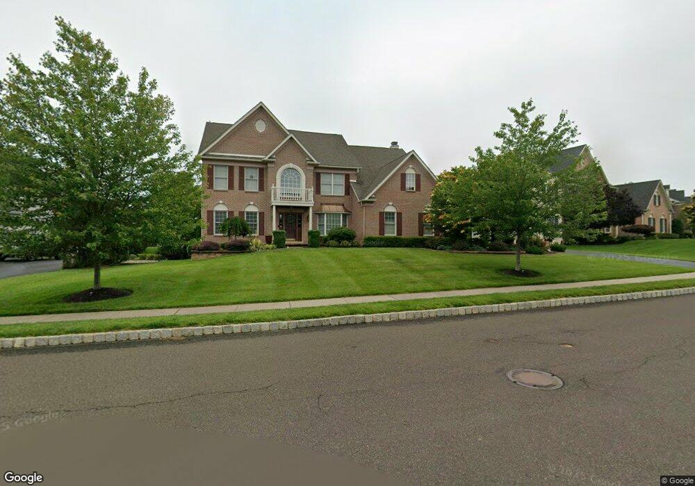
510 Cornell Dr Unit 109 Warrington, PA 18976
Estimated Value: $921,283 - $1,052,000
4
Beds
4
Baths
3,374
Sq Ft
$301/Sq Ft
Est. Value
About This Home
This home is located at 510 Cornell Dr Unit 109, Warrington, PA 18976 and is currently estimated at $1,014,321, approximately $300 per square foot. 510 Cornell Dr Unit 109 is a home located in Bucks County with nearby schools including Kutz Elementary School, Lenape Middle School, and Central Bucks High School-West.
Ownership History
Date
Name
Owned For
Owner Type
Purchase Details
Closed on
Mar 31, 2009
Sold by
The Cutler Group Inc
Bought by
Sam George and George Rachel
Current Estimated Value
Home Financials for this Owner
Home Financials are based on the most recent Mortgage that was taken out on this home.
Original Mortgage
$476,000
Outstanding Balance
$299,451
Interest Rate
4.85%
Mortgage Type
Purchase Money Mortgage
Estimated Equity
$714,870
Create a Home Valuation Report for This Property
The Home Valuation Report is an in-depth analysis detailing your home's value as well as a comparison with similar homes in the area
Home Values in the Area
Average Home Value in this Area
Purchase History
| Date | Buyer | Sale Price | Title Company |
|---|---|---|---|
| Sam George | $595,010 | None Available |
Source: Public Records
Mortgage History
| Date | Status | Borrower | Loan Amount |
|---|---|---|---|
| Open | Sam George | $476,000 |
Source: Public Records
Tax History Compared to Growth
Tax History
| Year | Tax Paid | Tax Assessment Tax Assessment Total Assessment is a certain percentage of the fair market value that is determined by local assessors to be the total taxable value of land and additions on the property. | Land | Improvement |
|---|---|---|---|---|
| 2025 | $10,085 | $54,630 | $8,970 | $45,660 |
| 2024 | $10,085 | $54,630 | $8,970 | $45,660 |
| 2023 | $9,337 | $54,630 | $8,970 | $45,660 |
| 2022 | $9,152 | $54,630 | $8,970 | $45,660 |
| 2021 | $9,051 | $54,630 | $8,970 | $45,660 |
| 2020 | $9,051 | $54,630 | $8,970 | $45,660 |
| 2019 | $8,996 | $54,630 | $8,970 | $45,660 |
| 2018 | $8,896 | $54,630 | $8,970 | $45,660 |
| 2017 | $8,776 | $54,630 | $8,970 | $45,660 |
| 2016 | $8,748 | $54,630 | $8,970 | $45,660 |
| 2015 | -- | $54,630 | $8,970 | $45,660 |
| 2014 | -- | $54,630 | $8,970 | $45,660 |
Source: Public Records
Map
Nearby Homes
- 612 Bethel Ln Unit THE ROOSEVELT PLAN
- 100 Ginko St Unit 202
- 200 Beech Blvd Unit 301
- 1323 School Ln
- 20 Woodstone Dr
- 110 Zircon Ct Unit 14
- 858 Elbow Ln
- 430 Homestead Cir
- 623 Addison Way
- 242 Snapdragon St
- 73 Tradesville Dr
- 73 Tradesville Dr Unit 80
- 52 Tradesville Dr Unit 83
- Vetri Plan at Doylestown Walk
- 52 Tradesville Dr
- 2 Mill Creek Dr
- 2 Mill Creek Dr Unit 137
- 1 Mill Creek Dr
- 6 Mill Creek Dr
- 803 Sweet Cherry St
- 510 Cornell Dr
- 508 Cornell Dr
- 506 Cornell Dr
- 226 Cadwallader Dr
- 507 Cornell Dr
- 226 Cadwallader Dr
- 512 Cornell Dr
- 1009 Zachs View Cir
- 511 Cornell Dr
- 505 Cornell Dr
- 514 Cornell Dr
- 514 Cornell Dr Unit 107
- 513 Cornell Dr
- 224 Cadwallader Dr
- 1010 Zachs View Cir
- 703 Marcus Cir
- 225 Cadwallader Dr
- 225 Cadwallader Dr
- 702 Marcus Cir
- 503 Cornell Dr