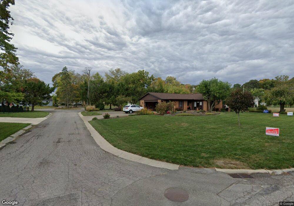
510 Eveningside Cir Marion, OH 43302
Estimated Value: $284,983 - $363,000
3
Beds
3
Baths
1,764
Sq Ft
$179/Sq Ft
Est. Value
About This Home
This home is located at 510 Eveningside Cir, Marion, OH 43302 and is currently estimated at $315,746, approximately $178 per square foot. 510 Eveningside Cir is a home located in Marion County with nearby schools including Benjamin Harrison Elementary School, Ulysses S. Grant Middle School, and Harding High School.
Ownership History
Date
Name
Owned For
Owner Type
Purchase Details
Closed on
Nov 16, 2022
Sold by
Thomas Lynn A and Thomas Connie M
Bought by
Thomas Connie M
Current Estimated Value
Purchase Details
Closed on
Dec 17, 2014
Bought by
Thomas Lynn A and Surv Connie M
Purchase Details
Closed on
Sep 9, 2002
Bought by
Thomas Lynn A and Surv Connie M
Purchase Details
Closed on
Jan 11, 2000
Bought by
Thomas Lynn A and Surv Connie M
Purchase Details
Closed on
Dec 2, 1993
Bought by
Thomas Lynn A and Surv Connie M
Create a Home Valuation Report for This Property
The Home Valuation Report is an in-depth analysis detailing your home's value as well as a comparison with similar homes in the area
Home Values in the Area
Average Home Value in this Area
Purchase History
| Date | Buyer | Sale Price | Title Company |
|---|---|---|---|
| Thomas Connie M | -- | -- | |
| Thomas Lynn A | $144,000 | -- | |
| Thomas Lynn A | -- | -- | |
| Thomas Lynn A | -- | -- | |
| Thomas Lynn A | -- | -- | |
| Thomas Lynn A | -- | -- | |
| Thomas Lynn A | $144,000 | -- | |
| Thomas Lynn A | -- | -- | |
| Thomas Lynn A | $130,000 | -- |
Source: Public Records
Tax History Compared to Growth
Tax History
| Year | Tax Paid | Tax Assessment Tax Assessment Total Assessment is a certain percentage of the fair market value that is determined by local assessors to be the total taxable value of land and additions on the property. | Land | Improvement |
|---|---|---|---|---|
| 2024 | $2,398 | $73,870 | $17,130 | $56,740 |
| 2023 | $2,398 | $73,870 | $17,130 | $56,740 |
| 2022 | $2,259 | $73,870 | $17,130 | $56,740 |
| 2021 | $1,924 | $58,680 | $14,890 | $43,790 |
| 2020 | $1,925 | $58,680 | $14,890 | $43,790 |
| 2019 | $1,923 | $58,680 | $14,890 | $43,790 |
| 2018 | $1,543 | $48,860 | $14,890 | $33,970 |
| 2017 | $1,563 | $48,860 | $14,890 | $33,970 |
| 2016 | $1,557 | $48,860 | $14,890 | $33,970 |
| 2015 | $1,938 | $47,480 | $14,180 | $33,300 |
| 2014 | $1,591 | $47,480 | $14,180 | $33,300 |
| 2012 | $1,296 | $41,140 | $11,300 | $29,840 |
Source: Public Records
Map
Nearby Homes
- 701 Brightwood Dr
- 763 Leetonia Rd
- 769 Summit St
- 667 King Ave
- 556 Hane Ave
- 556 S Vine St
- 991 Uhler Rd
- 338 Powhattan St
- 514 King Ave
- 858 Vernon Heights Cir
- 482 King Ave
- 193 E Walnut St
- 686 Mount Vernon Ave Unit AV
- 127 E Walnut St
- 239 Gurley Ave
- 1043 Harding Memorial Pkwy
- 604 S Prospect St
- 301 S Vine St
- 840 Forest Lawn Dr
- 249 S Grand Ave
- 506 Eveningside Cir
- 661 Brightwood Dr
- 511 Shadyside Cir
- 681 Brightwood Dr
- 651 Brightwood Dr
- 505 Shadyside Cir
- 505 Eveningside Cir
- 662 Brightwood Dr
- 510 Shadyside Cir
- 670 Brightwood Dr
- 713 Brightwood Dr
- 650 Brightwood Dr
- 686 Brightwood Dr
- 700 Brightwood Dr
- 731 Brightwood Dr
- 520 Virginia Ave
- 675 Leetonia Rd
- 645 Leetonia Rd
- 534 Virginia Ave
- 745 Brightwood Dr
