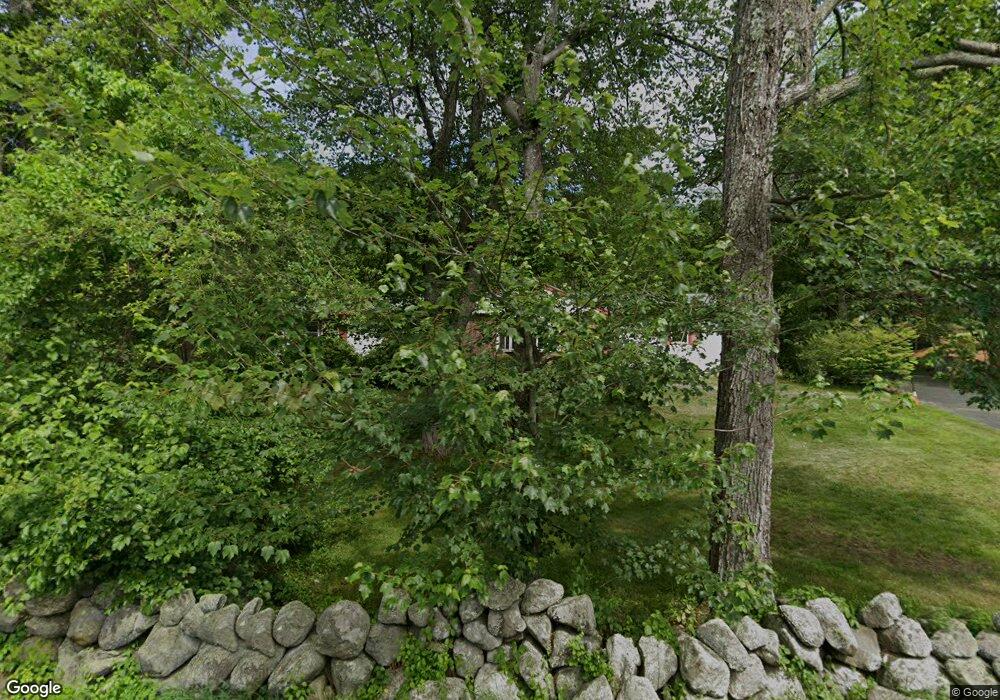
510 Forest St Dunstable, MA 01827
Estimated Value: $683,595 - $776,000
4
Beds
3
Baths
2,379
Sq Ft
$311/Sq Ft
Est. Value
About This Home
This home is located at 510 Forest St, Dunstable, MA 01827 and is currently estimated at $739,649, approximately $310 per square foot. 510 Forest St is a home located in Middlesex County with nearby schools including Groton Dunstable Regional High School and Academy of Notre Dame - Upper School.
Ownership History
Date
Name
Owned For
Owner Type
Purchase Details
Closed on
Jan 1, 1970
Bought by
Quinn John and Quinn Rosemarie
Current Estimated Value
Create a Home Valuation Report for This Property
The Home Valuation Report is an in-depth analysis detailing your home's value as well as a comparison with similar homes in the area
Home Values in the Area
Average Home Value in this Area
Purchase History
| Date | Buyer | Sale Price | Title Company |
|---|---|---|---|
| Quinn John | -- | -- |
Source: Public Records
Mortgage History
| Date | Status | Borrower | Loan Amount |
|---|---|---|---|
| Open | Quinn John | $221,000 | |
| Closed | Quinn John | $27,000 |
Source: Public Records
Tax History Compared to Growth
Tax History
| Year | Tax Paid | Tax Assessment Tax Assessment Total Assessment is a certain percentage of the fair market value that is determined by local assessors to be the total taxable value of land and additions on the property. | Land | Improvement |
|---|---|---|---|---|
| 2025 | $7,360 | $535,300 | $214,500 | $320,800 |
| 2024 | $7,011 | $502,200 | $197,700 | $304,500 |
| 2023 | $7,186 | $480,000 | $197,700 | $282,300 |
| 2022 | $6,981 | $457,800 | $197,700 | $260,100 |
| 2021 | $41,714 | $378,500 | $181,100 | $197,400 |
| 2020 | $12,496 | $362,700 | $181,100 | $181,600 |
| 2019 | $5,823 | $341,300 | $181,100 | $160,200 |
| 2018 | $5,800 | $330,700 | $180,800 | $149,900 |
| 2017 | $5,513 | $323,900 | $180,800 | $143,100 |
| 2016 | $5,258 | $317,700 | $172,600 | $145,100 |
| 2015 | $4,788 | $286,200 | $144,900 | $141,300 |
| 2014 | $4,513 | $286,200 | $144,900 | $141,300 |
Source: Public Records
Map
Nearby Homes
- 45 Red Gate Rd
- 0 Lowell St
- 446 Westford St
- 454 Dunstable Rd
- 7 Axletree Rd
- 17 Cannongate Rd Unit 87
- 160 Westford Rd
- 11 Old Hickory Rd
- 19 Sandstone Rd
- 153 Off Pond St
- 15 Stone Ridge Rd
- 20 Highland Rd
- 0 Dunstable Rd
- 22 Highland Rd
- 6 Ingalls Rd
- 76 Russells Way
- 319 Pleasant St
- 18 Ingalls Rd
- 23 Morrison Ln
- 10 Dickens Ln
