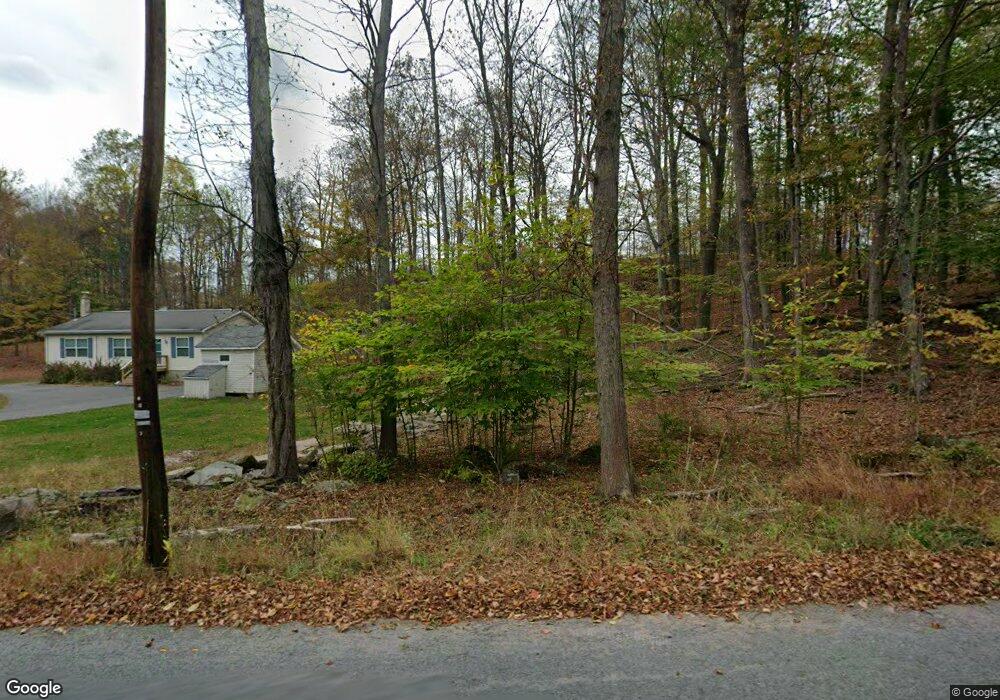
510 Forest St Honesdale, PA 18431
Estimated Value: $288,000 - $351,000
4
Beds
2
Baths
1,712
Sq Ft
$184/Sq Ft
Est. Value
About This Home
This home is located at 510 Forest St, Honesdale, PA 18431 and is currently estimated at $314,218, approximately $183 per square foot. 510 Forest St is a home located in Wayne County with nearby schools including Honesdale High School.
Ownership History
Date
Name
Owned For
Owner Type
Purchase Details
Closed on
Sep 26, 2024
Sold by
Shylkofski Shannon and Shylkofski Frank
Bought by
Shylkofski Frank and Shylkofski Shannon
Current Estimated Value
Purchase Details
Closed on
May 19, 2015
Sold by
Neill Dorothy O
Bought by
Shylkofski Frank and Stinnard Shannon Sue
Home Financials for this Owner
Home Financials are based on the most recent Mortgage that was taken out on this home.
Original Mortgage
$156,000
Interest Rate
3.66%
Mortgage Type
New Conventional
Purchase Details
Closed on
Dec 8, 2005
Sold by
Smith Dorothy K
Bought by
Smith Paul E and Smith Rachel
Create a Home Valuation Report for This Property
The Home Valuation Report is an in-depth analysis detailing your home's value as well as a comparison with similar homes in the area
Home Values in the Area
Average Home Value in this Area
Purchase History
| Date | Buyer | Sale Price | Title Company |
|---|---|---|---|
| Shylkofski Frank | -- | None Listed On Document | |
| Shylkofski Frank | -- | None Available | |
| Smith Paul E | -- | None Available |
Source: Public Records
Mortgage History
| Date | Status | Borrower | Loan Amount |
|---|---|---|---|
| Previous Owner | Shylkofski Frank | $156,000 |
Source: Public Records
Tax History Compared to Growth
Tax History
| Year | Tax Paid | Tax Assessment Tax Assessment Total Assessment is a certain percentage of the fair market value that is determined by local assessors to be the total taxable value of land and additions on the property. | Land | Improvement |
|---|---|---|---|---|
| 2025 | $3,728 | $226,000 | $75,300 | $150,700 |
| 2024 | $3,555 | $226,000 | $75,300 | $150,700 |
| 2023 | $5,050 | $226,000 | $75,300 | $150,700 |
| 2022 | $3,760 | $157,100 | $41,900 | $115,200 |
| 2021 | $3,722 | $157,100 | $41,900 | $115,200 |
| 2020 | $3,722 | $157,100 | $41,900 | $115,200 |
| 2019 | $3,472 | $157,100 | $41,900 | $115,200 |
| 2018 | $3,379 | $157,100 | $41,900 | $115,200 |
| 2017 | $3,108 | $157,100 | $41,900 | $115,200 |
| 2016 | $3,188 | $157,100 | $41,900 | $115,200 |
| 2014 | -- | $3,000 | $3,000 | $0 |
Source: Public Records
Map
Nearby Homes
- 104 Cherry View Ct
- 27 Summit View Ct
- 28 Summit View Ct
- 22 Summit View Ct
- 4 Center Ave
- 18 Summit View Ct
- 13 Summit View Ct
- 14 Summit View Ct
- 721 Maple Ave
- 910 Maple Ave
- 4 Crestmont Dr
- 4 Beechwood Dr
- 2040 Roosevelt Hwy
- 771 Ridge St
- 443 Terrace St
- 339 Terrace St
- 236 Vine St
- 426 Grove St
- 647 W Park St
- 0 Vine St
- 505 Forest St
- 507 Forest St
- 518 Forest St
- 518 Forest St
- 489 Forest St
- 530 Forest St
- 530 Forest St
- 533 Forest St
- 469 Forest St
- 479 Forest St
- 462 Forest St
- 16 Smith Pond Rd
- 1385 Bridge St
- 1385 Bridge St
- 1385 Bridge St
- 443 Forest St
- 187 Cadjaw Pond Rd
- 197 Cadjaw Pond Rd
- 418 Forest St
- 196 Cadjaw Pond Rd