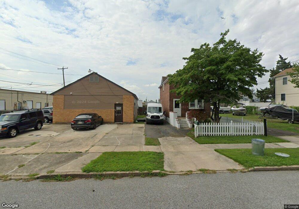
510 Front St Essington, PA 19029
Estimated Value: $236,786 - $260,000
2
Beds
1
Bath
1,320
Sq Ft
$188/Sq Ft
Est. Value
About This Home
This home is located at 510 Front St, Essington, PA 19029 and is currently estimated at $248,447, approximately $188 per square foot. 510 Front St is a home located in Delaware County with nearby schools including Interboro Senior High School.
Ownership History
Date
Name
Owned For
Owner Type
Purchase Details
Closed on
Jun 30, 2003
Sold by
Robbins John P
Bought by
Golden James J
Current Estimated Value
Home Financials for this Owner
Home Financials are based on the most recent Mortgage that was taken out on this home.
Original Mortgage
$135,000
Outstanding Balance
$57,482
Interest Rate
5.28%
Mortgage Type
Purchase Money Mortgage
Estimated Equity
$190,965
Purchase Details
Closed on
Mar 31, 1995
Sold by
King Anna C and Dobrowolski Joyce
Bought by
Robbins John P
Home Financials for this Owner
Home Financials are based on the most recent Mortgage that was taken out on this home.
Original Mortgage
$70,000
Interest Rate
8.66%
Create a Home Valuation Report for This Property
The Home Valuation Report is an in-depth analysis detailing your home's value as well as a comparison with similar homes in the area
Home Values in the Area
Average Home Value in this Area
Purchase History
| Date | Buyer | Sale Price | Title Company |
|---|---|---|---|
| Golden James J | $150,000 | -- | |
| Robbins John P | $87,500 | -- |
Source: Public Records
Mortgage History
| Date | Status | Borrower | Loan Amount |
|---|---|---|---|
| Open | Golden James J | $135,000 | |
| Previous Owner | Robbins John P | $70,000 |
Source: Public Records
Tax History Compared to Growth
Tax History
| Year | Tax Paid | Tax Assessment Tax Assessment Total Assessment is a certain percentage of the fair market value that is determined by local assessors to be the total taxable value of land and additions on the property. | Land | Improvement |
|---|---|---|---|---|
| 2025 | $3,804 | $120,340 | $43,010 | $77,330 |
| 2024 | $3,804 | $120,340 | $43,010 | $77,330 |
| 2023 | $3,741 | $120,340 | $43,010 | $77,330 |
| 2022 | $3,671 | $120,340 | $43,010 | $77,330 |
| 2021 | $5,438 | $120,340 | $43,010 | $77,330 |
| 2020 | $4,088 | $86,910 | $30,680 | $56,230 |
| 2019 | $4,081 | $86,910 | $30,680 | $56,230 |
| 2018 | $4,001 | $86,910 | $0 | $0 |
| 2017 | $3,904 | $86,910 | $0 | $0 |
| 2016 | $477 | $86,910 | $0 | $0 |
| 2015 | $477 | $86,910 | $0 | $0 |
| 2014 | $477 | $86,910 | $0 | $0 |
Source: Public Records
Map
Nearby Homes
- 120 Bartram Ave
- 207 Carre Ave
- 231 Bartram Ave
- 229 Saude Ave
- 307 Jansen Ave
- 403 Printz Ave
- 521 Corinthian Ave
- 511 Corinthian Ave
- 125 S Governor Printz Blvd
- 210 Powhattan Ave
- 436 Manhattan St
- 303 Darby Rd
- 236 Haller Rd
- 242 Willard Dr
- 741 Stockton Cir
- 731 Clymer Ln
- 236 Willard Dr
- 69 Martin Ln
- 213 Hoffman Rd
- 145 Haller Rd