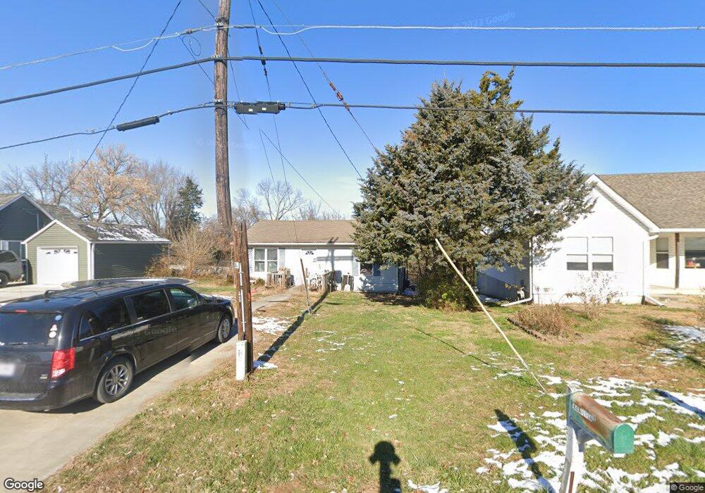
510 Garland St Excelsior Springs, MO 64024
Estimated Value: $154,000 - $202,000
3
Beds
2
Baths
1,036
Sq Ft
$167/Sq Ft
Est. Value
About This Home
This home is located at 510 Garland St, Excelsior Springs, MO 64024 and is currently estimated at $173,449, approximately $167 per square foot. 510 Garland St is a home located in Clay County with nearby schools including Excelsior Springs High School.
Ownership History
Date
Name
Owned For
Owner Type
Purchase Details
Closed on
Aug 31, 2022
Sold by
Trust Indenture Of Ear J Mcelwee Living and Mcelwee Paul Mark
Bought by
Mcelwee Paul Mark and Mcelwee James Brent
Current Estimated Value
Purchase Details
Closed on
Aug 13, 2008
Sold by
Fannie Mae
Bought by
Mcelwee Earl
Purchase Details
Closed on
Aug 15, 2002
Sold by
Bonuchi Victor E
Bought by
Rhodus Joshua L and Rhodus Jessica R
Home Financials for this Owner
Home Financials are based on the most recent Mortgage that was taken out on this home.
Original Mortgage
$70,939
Interest Rate
6.6%
Mortgage Type
FHA
Create a Home Valuation Report for This Property
The Home Valuation Report is an in-depth analysis detailing your home's value as well as a comparison with similar homes in the area
Home Values in the Area
Average Home Value in this Area
Purchase History
| Date | Buyer | Sale Price | Title Company |
|---|---|---|---|
| Mcelwee Paul Mark | -- | None Listed On Document | |
| Mcelwee Earl | -- | None Available | |
| Rhodus Joshua L | -- | First American Title Ins Co |
Source: Public Records
Mortgage History
| Date | Status | Borrower | Loan Amount |
|---|---|---|---|
| Previous Owner | Rhodus Joshua L | $70,939 |
Source: Public Records
Tax History Compared to Growth
Tax History
| Year | Tax Paid | Tax Assessment Tax Assessment Total Assessment is a certain percentage of the fair market value that is determined by local assessors to be the total taxable value of land and additions on the property. | Land | Improvement |
|---|---|---|---|---|
| 2025 | $1,162 | $18,940 | -- | -- |
| 2024 | $1,162 | $16,570 | -- | -- |
| 2023 | $1,155 | $16,570 | $0 | $0 |
| 2022 | $971 | $13,700 | $0 | $0 |
| 2021 | $974 | $13,699 | $1,748 | $11,951 |
| 2020 | $887 | $12,120 | $0 | $0 |
| 2019 | $886 | $12,120 | $0 | $0 |
| 2018 | $804 | $10,960 | $0 | $0 |
| 2017 | $784 | $10,970 | $1,750 | $9,220 |
| 2016 | $784 | $10,970 | $1,750 | $9,220 |
| 2015 | $791 | $10,970 | $1,750 | $9,220 |
| 2014 | $741 | $10,170 | $1,750 | $8,420 |
Source: Public Records
Map
Nearby Homes
- 0 Park Ave
- 108 Berton Rd
- 106 Saratoga St
- Lot 3 Orrick Rd
- 729 Hazel St
- 101 W Excelsior St
- 904 E Golf Hill Dr
- 1110 Old Time Dr
- 1112 Old Time Dr
- 547 Orchard Place
- 1111 Old Time Dr
- 124 Wildwood St
- 120 Wildwood St
- 132 Cliff Dr
- 926 Elm Rd
- 811 Saint Louis Ave
- 821 St Louis Ave
- 733 Magnolia Ave
- 8 Orchard Place
- 114 Myrtle Ave