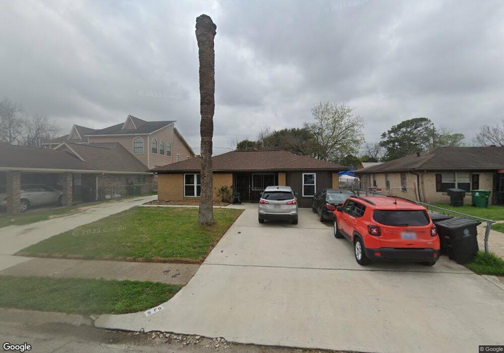
510 Glenburnie Dr Houston, TX 77022
Independence Heights NeighborhoodEstimated Value: $218,337 - $259,000
3
Beds
1
Bath
1,458
Sq Ft
$163/Sq Ft
Est. Value
About This Home
This home is located at 510 Glenburnie Dr, Houston, TX 77022 and is currently estimated at $237,084, approximately $162 per square foot. 510 Glenburnie Dr is a home located in Harris County with nearby schools including Kennedy Elementary School, Williams Middle, and Booker T Washington Sr High.
Ownership History
Date
Name
Owned For
Owner Type
Purchase Details
Closed on
Sep 5, 2002
Sold by
Jarden Ethel
Bought by
Harrell Curtis and Harrell Ethel
Current Estimated Value
Home Financials for this Owner
Home Financials are based on the most recent Mortgage that was taken out on this home.
Original Mortgage
$52,500
Interest Rate
6.25%
Mortgage Type
Credit Line Revolving
Purchase Details
Closed on
Sep 20, 1996
Sold by
Houston Housing Finance Corp
Bought by
Jarden Ethel
Create a Home Valuation Report for This Property
The Home Valuation Report is an in-depth analysis detailing your home's value as well as a comparison with similar homes in the area
Home Values in the Area
Average Home Value in this Area
Purchase History
| Date | Buyer | Sale Price | Title Company |
|---|---|---|---|
| Harrell Curtis | -- | American Title Co | |
| Jarden Ethel | -- | -- |
Source: Public Records
Mortgage History
| Date | Status | Borrower | Loan Amount |
|---|---|---|---|
| Previous Owner | Harrell Curtis | $52,500 |
Source: Public Records
Tax History Compared to Growth
Tax History
| Year | Tax Paid | Tax Assessment Tax Assessment Total Assessment is a certain percentage of the fair market value that is determined by local assessors to be the total taxable value of land and additions on the property. | Land | Improvement |
|---|---|---|---|---|
| 2025 | $146 | $225,368 | $115,227 | $110,141 |
| 2024 | $146 | $221,700 | $115,227 | $106,473 |
| 2023 | $146 | $208,476 | $92,182 | $116,294 |
| 2022 | $2,994 | $198,043 | $92,182 | $105,861 |
| 2021 | $2,881 | $148,486 | $89,416 | $59,070 |
| 2020 | $2,721 | $120,855 | $43,786 | $77,069 |
| 2019 | $2,585 | $115,203 | $42,864 | $72,339 |
| 2018 | $1,215 | $74,563 | $26,886 | $47,677 |
| 2017 | $2,135 | $93,974 | $26,886 | $67,088 |
| 2016 | $1,941 | $90,554 | $19,205 | $71,349 |
| 2015 | $1,132 | $75,174 | $19,205 | $55,969 |
| 2014 | $1,132 | $63,435 | $19,205 | $44,230 |
Source: Public Records
Map
Nearby Homes
- 627 Glenburnie Dr
- 423 Gammon Dr
- 5035 North Fwy
- 510 Victoria Dr
- 330 Spell St
- 0 Victoria Unit 54691087
- 327 E Delz Dr
- 319 E Delz Dr
- 303 Victoria Dr
- 5203 Burress Springs Ln
- 219 E Janisch Rd
- 302 E Rogers St
- 312 Walthall Dr
- 310 Walthall Dr
- 600 E Whitney St
- 315 E Whitney St
- 146 Hohldale St
- 8226 E Tidwell Rd
- 11 Wellford St Unit G
- Cypress Plan at Wellford Village
- 506 Glenburnie Dr
- 514 Glenburnie Dr
- 511 Bizerte St
- 518 Glenburnie Dr
- 515 Bizerte St
- 502 Glenburnie Dr
- 507 Bizerte St
- 519 Bizerte St
- 511 Glenburnie Dr
- 503 Bizerte St
- 515 Glenburnie Dr
- 507 Glenburnie Dr
- 519 Glenburnie Dr
- 522 Glenburnie Dr
- 503 Glenburnie Dr
- 523 Bizerte St
- 523 Glenburnie Dr
- 466 Glenburnie Dr
- 514 Bizerte St
- 510 Gammon Dr