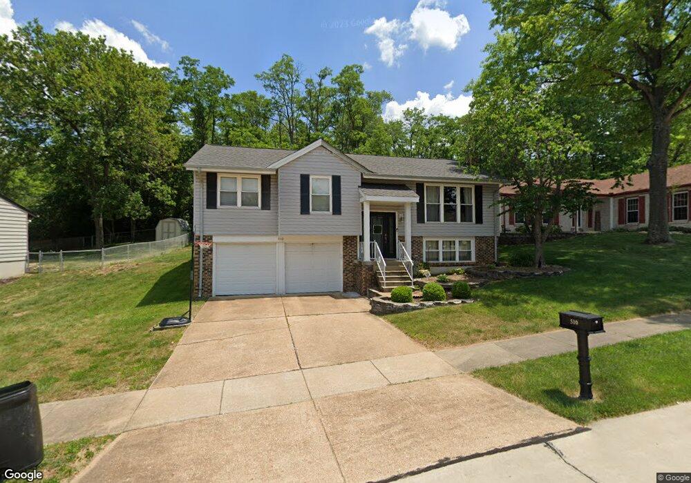
510 Green Forest Dr Fenton, MO 63026
Estimated Value: $274,000 - $310,000
4
Beds
3
Baths
1,254
Sq Ft
$237/Sq Ft
Est. Value
About This Home
This home is located at 510 Green Forest Dr, Fenton, MO 63026 and is currently estimated at $297,569, approximately $237 per square foot. 510 Green Forest Dr is a home located in St. Louis County with nearby schools including Bowles Elementary School, Rockwood South Middle School, and Rockwood Summit Senior High School.
Ownership History
Date
Name
Owned For
Owner Type
Purchase Details
Closed on
Dec 28, 2006
Sold by
Kehlenbrink Larry
Bought by
Reichert Andrew J and Reichert Brandi J
Current Estimated Value
Home Financials for this Owner
Home Financials are based on the most recent Mortgage that was taken out on this home.
Original Mortgage
$178,500
Outstanding Balance
$106,069
Interest Rate
6.2%
Mortgage Type
Purchase Money Mortgage
Estimated Equity
$191,500
Create a Home Valuation Report for This Property
The Home Valuation Report is an in-depth analysis detailing your home's value as well as a comparison with similar homes in the area
Home Values in the Area
Average Home Value in this Area
Purchase History
| Date | Buyer | Sale Price | Title Company |
|---|---|---|---|
| Reichert Andrew J | $178,500 | None Available |
Source: Public Records
Mortgage History
| Date | Status | Borrower | Loan Amount |
|---|---|---|---|
| Open | Reichert Andrew J | $178,500 |
Source: Public Records
Tax History Compared to Growth
Tax History
| Year | Tax Paid | Tax Assessment Tax Assessment Total Assessment is a certain percentage of the fair market value that is determined by local assessors to be the total taxable value of land and additions on the property. | Land | Improvement |
|---|---|---|---|---|
| 2025 | $3,471 | $52,540 | $23,220 | $29,320 |
| 2024 | $3,471 | $46,490 | $18,450 | $28,040 |
| 2023 | $3,468 | $46,490 | $18,450 | $28,040 |
| 2022 | $3,315 | $41,400 | $18,450 | $22,950 |
| 2021 | $3,290 | $41,400 | $18,450 | $22,950 |
| 2020 | $3,226 | $39,030 | $15,660 | $23,370 |
| 2019 | $3,236 | $39,030 | $15,660 | $23,370 |
| 2018 | $3,019 | $34,920 | $11,780 | $23,140 |
| 2017 | $2,995 | $34,920 | $11,780 | $23,140 |
| 2016 | $2,562 | $30,130 | $9,880 | $20,250 |
| 2015 | $2,510 | $30,130 | $9,880 | $20,250 |
| 2014 | $2,564 | $30,020 | $8,440 | $21,580 |
Source: Public Records
Map
Nearby Homes
- 260 Trueman Heritage Pkwy
- 818 Mary Lee Ct
- The Westhampton Plan at Bowles Crossing
- The Rockport Plan at Bowles Crossing
- The Richmond Plan at Bowles Crossing
- The Liberty Plan at Bowles Crossing
- The Brookfield Plan at Bowles Crossing
- The Arlington Plan at Bowles Crossing
- 1248 Green Knoll Dr
- 811 Mary Lee Ct
- The Westhampton Plan at Hawkins Point
- The Rockport Plan at Hawkins Point
- The Brookfield Plan at Hawkins Point
- The Liberty Plan at Hawkins Point
- The Arlington Plan at Hawkins Point
- 800 Mary Lee Ct
- 1009 Remington Oaks Ct
- 678 Greensleeves Dr
- 683 Greenholme Ct
- 6 Hickory Hollow Ln
- 504 Green Forest Dr
- 522 Green Forest Dr
- 507 Green Forest Dr
- 503 Green Forest Dr
- 511 Green Forest Dr
- 526 Green Forest Dr
- 515 Green Forest Dr
- 519 Green Forest Dr
- 530 Green Forest Dr
- 523 Green Forest Dr
- 1247 Summit Meadows Dr
- 527 Green Forest Dr
- 683 Summit Rd
- 1243 Summit Meadows Dr
- 671 Summit Rd
- 677 Summit Rd
- 695 Summit Rd
- 531 Green Forest Dr
- 689 Summit Rd
- 645 Summit Rd