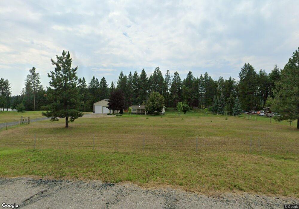
510 Highway 20 E Colville, WA 99114
Estimated Value: $452,000 - $747,000
4
Beds
2
Baths
4,448
Sq Ft
$137/Sq Ft
Est. Value
About This Home
This home is located at 510 Highway 20 E, Colville, WA 99114 and is currently estimated at $607,593, approximately $136 per square foot. 510 Highway 20 E is a home located in Stevens County with nearby schools including Hofstetter Elementary School, Fort Colville Elementary School, and Colville Junior High School.
Ownership History
Date
Name
Owned For
Owner Type
Purchase Details
Closed on
May 22, 2024
Sold by
Loew Family Revocable Living Trust and Loew Larry Albert
Bought by
Nokes Bryan and Nokes Larrie
Current Estimated Value
Home Financials for this Owner
Home Financials are based on the most recent Mortgage that was taken out on this home.
Original Mortgage
$360,000
Outstanding Balance
$354,952
Interest Rate
6.88%
Mortgage Type
New Conventional
Estimated Equity
$252,641
Create a Home Valuation Report for This Property
The Home Valuation Report is an in-depth analysis detailing your home's value as well as a comparison with similar homes in the area
Home Values in the Area
Average Home Value in this Area
Purchase History
| Date | Buyer | Sale Price | Title Company |
|---|---|---|---|
| Nokes Bryan | $450,000 | Stevens County Title |
Source: Public Records
Mortgage History
| Date | Status | Borrower | Loan Amount |
|---|---|---|---|
| Open | Nokes Bryan | $360,000 |
Source: Public Records
Tax History Compared to Growth
Tax History
| Year | Tax Paid | Tax Assessment Tax Assessment Total Assessment is a certain percentage of the fair market value that is determined by local assessors to be the total taxable value of land and additions on the property. | Land | Improvement |
|---|---|---|---|---|
| 2024 | $2,259 | $337,067 | $99,000 | $238,067 |
| 2023 | $2,286 | $341,737 | $99,000 | $242,737 |
| 2022 | $2,356 | $327,355 | $99,000 | $228,355 |
| 2021 | $2,485 | $318,012 | $99,000 | $219,012 |
| 2020 | $2,234 | $318,012 | $99,000 | $219,012 |
| 2019 | $2,273 | $277,159 | $92,400 | $184,759 |
| 2018 | $2,642 | $275,098 | $92,400 | $182,698 |
| 2017 | $2,393 | $273,730 | $92,400 | $181,330 |
| 2016 | $2,457 | $273,730 | $92,400 | $181,330 |
| 2015 | $2,534 | $277,674 | $92,400 | $185,274 |
| 2013 | -- | $262,315 | $90,000 | $172,315 |
Source: Public Records
Map
Nearby Homes
- 585 White Meadow Way
- 540 Dolomite Rd
- 493 Mumau Rd
- 410 Prouty Corner Loop Rd
- 395 Old Dominion Rd
- 395A Old Dominion Rd
- 564 Old Dominion Rd
- 762 Mahoney Rd
- 739 Prouty Corner Loop Rd
- 2135 Whitetail Way
- 2082 Whitetail Way
- 2058 Ringneck Loop
- 2037 Ringneck Loop
- 11XX Kitt-Narcisse Rd
- 13XX Kitt-Narcisse Rd
- 1023 Olympic Way
- 157 Garden Homes Dr
- 994 S Miner St
- 534 State Route 20
- 523 Highway 20 E
- 511 Highway 20 E
- 526 Garvey Rd
- 568 Graham Rd
- 583 White Lake Way
- 576 White Lake Way
- 563 Graham Rd
- 592 Crown Ridge Way
- 552 Graham Rd
- 587 White Lake Way
- 580 White Lake Way
- 580 White Lake Way
- 556A Highway 20 E
- 585 Crown Ridge Way
- 553 Graham Rd
- 551 White Meadow Way
- 543 Crown Ridge Way
- 493 Dolomite Rd
- 534 Graham Rd