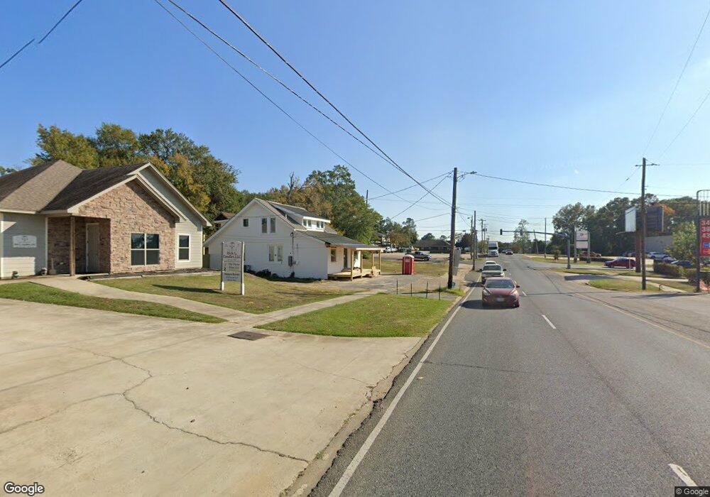
510 Highway 556 Ruston, LA 71270
Estimated Value: $17,000 - $66,000
--
Bed
--
Bath
1,120
Sq Ft
$37/Sq Ft
Est. Value
About This Home
This home is located at 510 Highway 556, Ruston, LA 71270 and is currently estimated at $41,500, approximately $37 per square foot. 510 Highway 556 is a home with nearby schools including Choudrant Elementary School, Choudrant High School, and Ruston Junior High School.
Ownership History
Date
Name
Owned For
Owner Type
Purchase Details
Closed on
May 27, 2025
Sold by
Colvin Sherri Buvens
Bought by
Rlc Oil & Gas Llc
Current Estimated Value
Home Financials for this Owner
Home Financials are based on the most recent Mortgage that was taken out on this home.
Original Mortgage
$82,855
Outstanding Balance
$82,634
Interest Rate
6.62%
Mortgage Type
New Conventional
Estimated Equity
-$41,134
Purchase Details
Closed on
Dec 6, 2024
Sold by
Colvin William G
Bought by
Colvin Sherri Buvens
Create a Home Valuation Report for This Property
The Home Valuation Report is an in-depth analysis detailing your home's value as well as a comparison with similar homes in the area
Home Values in the Area
Average Home Value in this Area
Purchase History
| Date | Buyer | Sale Price | Title Company |
|---|---|---|---|
| Rlc Oil & Gas Llc | $60,000 | None Listed On Document | |
| Colvin Sherri Buvens | $16,000 | None Listed On Document | |
| Colvin Sherri Buvens | $16,000 | None Listed On Document |
Source: Public Records
Mortgage History
| Date | Status | Borrower | Loan Amount |
|---|---|---|---|
| Open | Rlc Oil & Gas Llc | $82,855 |
Source: Public Records
Tax History Compared to Growth
Tax History
| Year | Tax Paid | Tax Assessment Tax Assessment Total Assessment is a certain percentage of the fair market value that is determined by local assessors to be the total taxable value of land and additions on the property. | Land | Improvement |
|---|---|---|---|---|
| 2024 | $524 | $5,848 | $619 | $5,229 |
| 2023 | $488 | $5,170 | $995 | $4,175 |
| 2022 | $485 | $5,170 | $995 | $4,175 |
| 2021 | $478 | $5,170 | $995 | $4,175 |
| 2020 | $437 | $4,643 | $995 | $3,648 |
| 2019 | $443 | $4,643 | $995 | $3,648 |
| 2018 | $443 | $4,643 | $995 | $3,648 |
| 2017 | $444 | $4,643 | $995 | $3,648 |
| 2016 | $452 | $0 | $0 | $0 |
| 2015 | $445 | $4,223 | $726 | $3,497 |
| 2013 | $451 | $4,223 | $726 | $3,497 |
Source: Public Records
Map
Nearby Homes
- 510 Louisiana 556
- 219 Lamar Rd
- 500 Hogan Rd
- 112 Tes Dr
- 1072 Longstraw Rd
- 0B Shortstraw Par Road 404
- 0 Shortstraw Rd Par Road 404
- 0A Shortstraw R Par Road 404
- 0C SHortstraw Par Road 404
- 2420 Highway 556
- 1593 Par Road 404
- 8336 Highway 146
- 0 Bradford Rd
- 00 Cheatwood Rd
- 134 Twin Creeks Bend
- 190 Loring Bend
- 00 Par Road 43
- 0 Par Road 404
- 208 Cherrybark Way
- 0 Spillers Rd
- 131 Taylor Rd
- 521 Highway 556
- 411 Highway 556
- 129 Taylor Rd
- 181 Taylor Rd
- 402 Highway 556
- 572 Highway 556
- 1617 Pleasant Grove Rd
- 1613 Pleasant Grove Rd
- 362 Highway 556
- 1632 Pleasant Grove Rd
- 639 Highway 556
- 1608 Pleasant Grove Rd
- 115 Pdr Rd
- 1553 Pleasant Grove Rd
- 313 Highway 556
- 1552 Pleasant Grove Rd
- 168 Pdr Rd
- 312 Highway 556
- 280 Highway 556