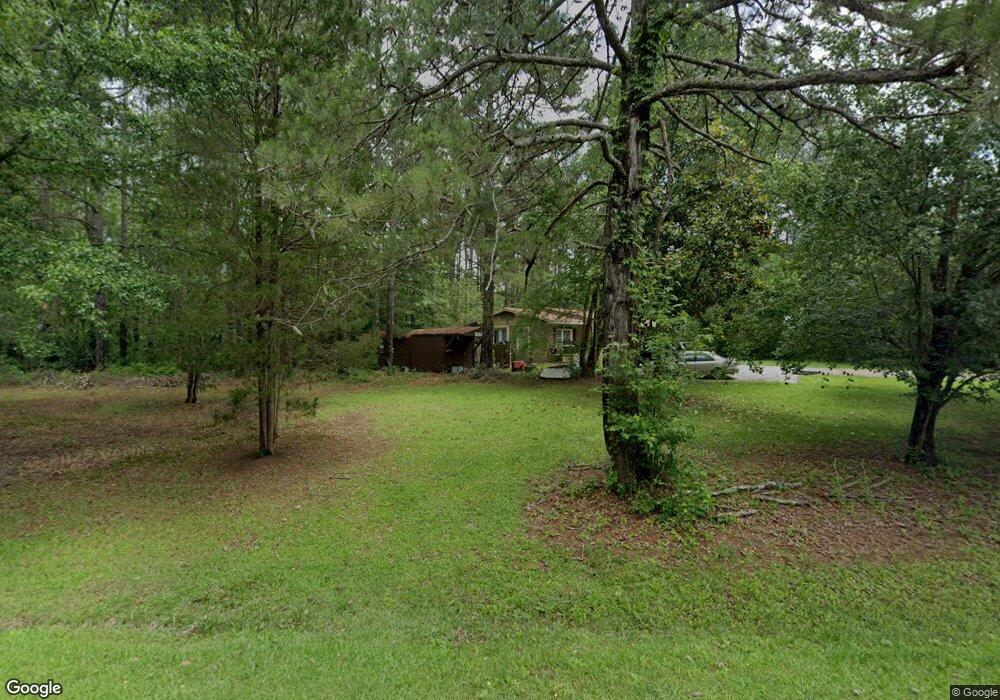
510 Joe Stephens Rd Franklin, GA 30217
Estimated Value: $176,000 - $231,000
3
Beds
2
Baths
1,122
Sq Ft
$177/Sq Ft
Est. Value
About This Home
This home is located at 510 Joe Stephens Rd, Franklin, GA 30217 and is currently estimated at $198,199, approximately $176 per square foot. 510 Joe Stephens Rd is a home located in Coweta County with nearby schools including Heard County High School.
Ownership History
Date
Name
Owned For
Owner Type
Purchase Details
Closed on
Nov 10, 1994
Sold by
Lucas Lisa K
Bought by
Miller Horace G
Current Estimated Value
Purchase Details
Closed on
Jul 1, 1993
Sold by
Lucas Edward
Bought by
Lucas Lisa K
Purchase Details
Closed on
Oct 1, 1988
Sold by
Carey Larry
Bought by
Lucas Edward
Purchase Details
Closed on
Dec 1, 1985
Sold by
Martinez Dario F
Bought by
Carey Larry
Purchase Details
Closed on
Jul 1, 1977
Bought by
Martinez Dario F
Create a Home Valuation Report for This Property
The Home Valuation Report is an in-depth analysis detailing your home's value as well as a comparison with similar homes in the area
Home Values in the Area
Average Home Value in this Area
Purchase History
| Date | Buyer | Sale Price | Title Company |
|---|---|---|---|
| Miller Horace G | $61,000 | -- | |
| Lucas Lisa K | -- | -- | |
| Lucas Edward | $51,500 | -- | |
| Carey Larry | $7,200 | -- | |
| Martinez Dario F | $6,300 | -- |
Source: Public Records
Tax History Compared to Growth
Tax History
| Year | Tax Paid | Tax Assessment Tax Assessment Total Assessment is a certain percentage of the fair market value that is determined by local assessors to be the total taxable value of land and additions on the property. | Land | Improvement |
|---|---|---|---|---|
| 2024 | $891 | $46,208 | $17,756 | $28,452 |
| 2023 | $744 | $37,629 | $14,797 | $22,832 |
| 2022 | $585 | $30,047 | $7,981 | $22,066 |
| 2021 | $502 | $24,834 | $7,981 | $16,853 |
| 2020 | $496 | $24,343 | $7,981 | $16,362 |
| 2019 | $496 | $24,343 | $7,981 | $16,362 |
| 2018 | $551 | $24,343 | $7,981 | $16,362 |
| 2017 | $348 | $17,419 | $8,047 | $9,372 |
| 2016 | $348 | $17,419 | $8,047 | $9,372 |
| 2015 | -- | $20,870 | $12,408 | $8,463 |
| 2014 | -- | $20,871 | $12,408 | $8,463 |
| 2013 | -- | $24,692 | $12,407 | $12,285 |
Source: Public Records
Map
Nearby Homes
- 0 Thomas Powers Rd Unit 10569332
- 0 Thomas Powers Rd Unit 5.54+/- ACRES
- 0 Thomas Powers Rd Unit 24228819
- 192 Hawk Rd
- 220 Dogwood Rd
- 19860 Georgia 34
- 19860 Ga Hwy 34
- 642 Elm Rd
- 1227 J D Walton Rd
- 189 & 191 W Plantation Dr
- 323 Newman Rd
- 0 Newman Rd Unit 10559645
- 38 Daniel Cir
- 712 Boy Scout Rd
- 4230 Joe Stephens Rd
- 4398 Georgia 34
- 927 Boy Scout Rd
- 260 Ancient Oak Ln
- 17426 Georgia 34
- 57 Scout Way
- 422 Joe Stephens Rd
- 434 Joe Stephens Rd
- 394 Joe Stephens Rd
- 354 Joe Stephens Rd
- 350 Joe Stephens Rd Unit 720
- 350 Joe Stephens Rd
- 328 Joe Stephens Rd
- 328 Joe Stephens Rd
- 40 Worley Dr
- 40 Worley Rd
- 0 Worley Rd
- 318 Joe Stephens Rd
- 357 Joe Stephens Rd
- 1135 Joe Stephens Rd
- 266 Thomas Powers Rd
- 333 Joe Stephens Rd
- 366 Fir Rd
- 210 Fir Rd
- 755 Joe Stephens Rd
- 256 Fir Rd