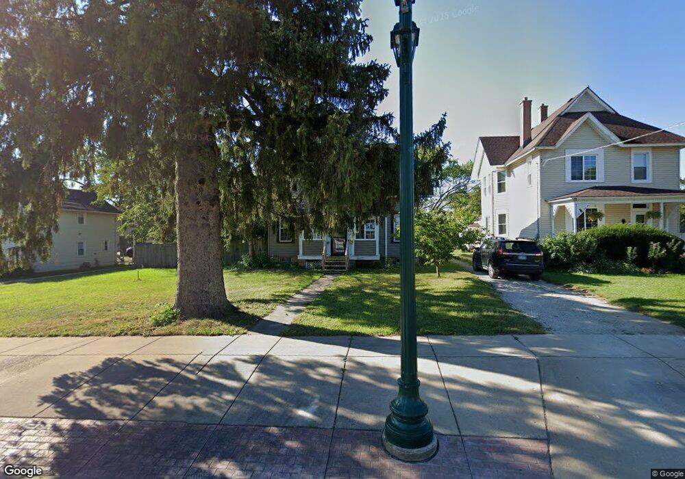
510 Lake St Antioch, IL 60002
Estimated Value: $267,000 - $331,000
4
Beds
1
Bath
1,550
Sq Ft
$188/Sq Ft
Est. Value
About This Home
This home is located at 510 Lake St, Antioch, IL 60002 and is currently estimated at $290,855, approximately $187 per square foot. 510 Lake St is a home located in Lake County with nearby schools including Antioch Community High School.
Ownership History
Date
Name
Owned For
Owner Type
Purchase Details
Closed on
Dec 30, 2014
Sold by
Bryatt Janae
Bought by
Chapa Vincent
Current Estimated Value
Purchase Details
Closed on
Mar 21, 2006
Sold by
State Bank Of The Lakes
Bought by
Chapa Vincent L and Bryant Janae L
Home Financials for this Owner
Home Financials are based on the most recent Mortgage that was taken out on this home.
Original Mortgage
$182,141
Interest Rate
6.38%
Mortgage Type
FHA
Purchase Details
Closed on
Aug 7, 2003
Sold by
Maplethorpe James Phillip and Stahmer Forrest
Bought by
State Bank Of The Lakes
Create a Home Valuation Report for This Property
The Home Valuation Report is an in-depth analysis detailing your home's value as well as a comparison with similar homes in the area
Home Values in the Area
Average Home Value in this Area
Purchase History
| Date | Buyer | Sale Price | Title Company |
|---|---|---|---|
| Chapa Vincent | -- | None Available | |
| Chapa Vincent L | $185,000 | First American Title Ins Co | |
| State Bank Of The Lakes | $182,500 | -- |
Source: Public Records
Mortgage History
| Date | Status | Borrower | Loan Amount |
|---|---|---|---|
| Previous Owner | Chapa Vincent L | $182,141 |
Source: Public Records
Tax History Compared to Growth
Tax History
| Year | Tax Paid | Tax Assessment Tax Assessment Total Assessment is a certain percentage of the fair market value that is determined by local assessors to be the total taxable value of land and additions on the property. | Land | Improvement |
|---|---|---|---|---|
| 2024 | $5,937 | $69,174 | $14,592 | $54,582 |
| 2023 | $5,587 | $61,940 | $13,066 | $48,874 |
| 2022 | $5,587 | $55,743 | $13,187 | $42,556 |
| 2021 | $5,161 | $52,014 | $12,305 | $39,709 |
| 2020 | $5,047 | $50,577 | $11,965 | $38,612 |
| 2019 | $5,109 | $48,367 | $11,442 | $36,925 |
| 2018 | $4,846 | $47,065 | $11,625 | $35,440 |
| 2017 | $4,793 | $44,798 | $11,065 | $33,733 |
| 2016 | $4,662 | $43,233 | $10,678 | $32,555 |
| 2015 | $4,544 | $42,133 | $10,406 | $31,727 |
| 2014 | $5,321 | $50,075 | $16,638 | $33,437 |
| 2012 | $5,253 | $51,835 | $16,638 | $35,197 |
Source: Public Records
Map
Nearby Homes
- 1009 Osmond Ave
- 431 Filweber Ct
- 0 Highview Dr Unit MRD11912210
- 775 Highview Ct
- 0 Anita Ave Unit MRD12354735
- 316 Buena Terrace
- 770 Anita Ave
- 1207 Main St
- 672 Garys Dr
- 152 E Depot St
- 168 Tree Line
- 782 Cameron Dr
- 468 Joren Trail
- 68 Burnette Dr
- 56 Burnette Dr
- 73 W Old Mill Trail
- 52 Burnette Dr
- 49 Burnette Dr
- 44 Burnette Dr
- 1412 Redwing Dr