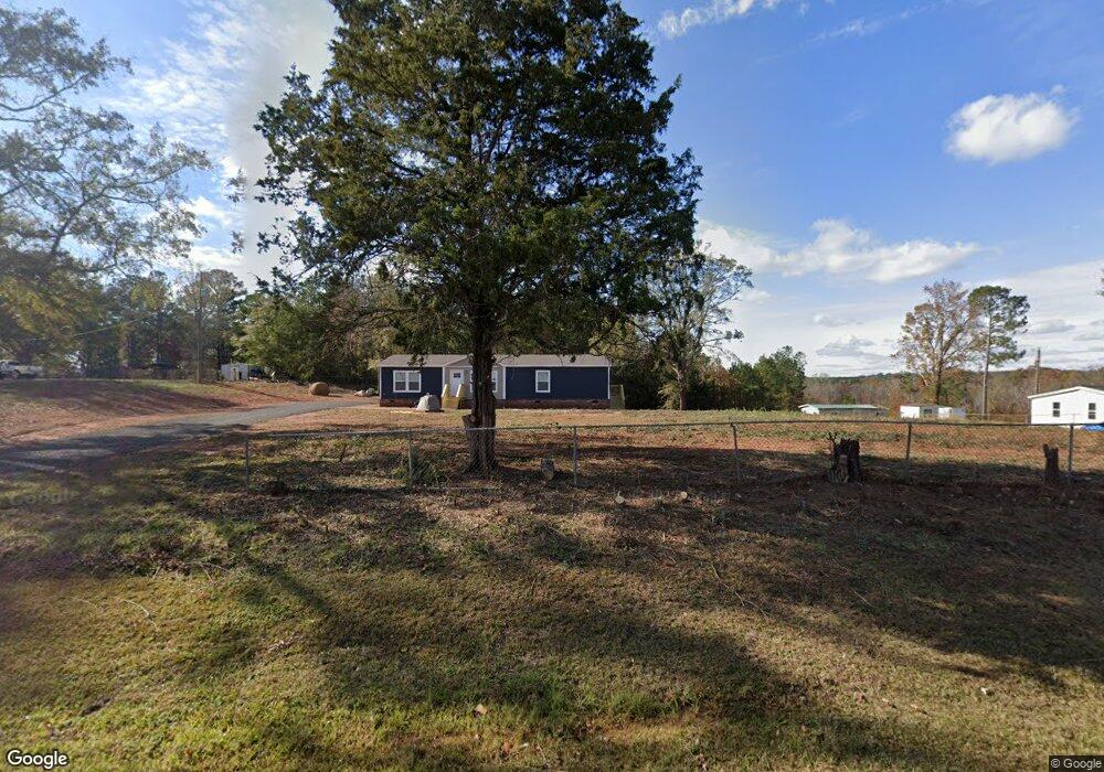
510 Lanier Rd Lagrange, GA 30241
Estimated Value: $47,941 - $416,000
2
Beds
1
Bath
876
Sq Ft
$287/Sq Ft
Est. Value
About This Home
This home is located at 510 Lanier Rd, Lagrange, GA 30241 and is currently estimated at $251,235, approximately $286 per square foot. 510 Lanier Rd is a home located in Troup County with nearby schools including Rosemont Elementary School, Whitesville Road Elementary School, and Berta Weathersbee Elementary School.
Ownership History
Date
Name
Owned For
Owner Type
Purchase Details
Closed on
May 31, 2012
Sold by
Maxwell June Moseley Walke
Bought by
Garner Larry E and Garner Janice E
Current Estimated Value
Purchase Details
Closed on
Aug 8, 2003
Sold by
Moseley Troyce Mitchell
Bought by
Moseley Troyce M
Purchase Details
Closed on
May 28, 1999
Sold by
Moseley T
Bought by
Moseley Troyce Mitchell
Purchase Details
Closed on
Sep 15, 1993
Sold by
Troyce Mitchell Moseley
Bought by
Moseley T
Purchase Details
Closed on
Aug 19, 1976
Sold by
Minnie Prine Moseley
Bought by
Troyce Mitchell Moseley
Purchase Details
Closed on
Jan 1, 1966
Sold by
Moseley G H
Bought by
Minnie Prine Moseley
Purchase Details
Closed on
Jan 1, 1960
Sold by
Moseley G H
Bought by
Moseley G H
Create a Home Valuation Report for This Property
The Home Valuation Report is an in-depth analysis detailing your home's value as well as a comparison with similar homes in the area
Home Values in the Area
Average Home Value in this Area
Purchase History
| Date | Buyer | Sale Price | Title Company |
|---|---|---|---|
| Garner Larry E | $18,000 | -- | |
| Moseley Troyce M | -- | -- | |
| Moseley Troyce Mitchell | -- | -- | |
| Moseley T | -- | -- | |
| Troyce Mitchell Moseley | -- | -- | |
| Minnie Prine Moseley | -- | -- | |
| Moseley G H | -- | -- |
Source: Public Records
Tax History Compared to Growth
Tax History
| Year | Tax Paid | Tax Assessment Tax Assessment Total Assessment is a certain percentage of the fair market value that is determined by local assessors to be the total taxable value of land and additions on the property. | Land | Improvement |
|---|---|---|---|---|
| 2024 | $147 | $5,400 | $5,400 | $0 |
| 2023 | $147 | $5,400 | $5,400 | $0 |
| 2022 | $151 | $5,400 | $5,400 | $0 |
| 2021 | $119 | $3,960 | $3,960 | $0 |
| 2020 | $119 | $3,960 | $3,960 | $0 |
| 2019 | $102 | $3,960 | $3,960 | $0 |
| 2018 | $119 | $3,960 | $3,960 | $0 |
| 2017 | $133 | $4,400 | $3,960 | $440 |
| 2016 | $138 | $4,584 | $3,984 | $600 |
| 2015 | $138 | $4,584 | $3,984 | $600 |
| 2014 | $383 | $12,641 | $3,984 | $8,657 |
| 2013 | -- | $13,254 | $3,984 | $9,270 |
Source: Public Records
Map
Nearby Homes
- 3913 Whitesville Rd
- 11.59+/- AC Hunt Rd
- 660 Bartley Rd
- 1605 Bartley Rd
- 3691 Hamilton Rd
- 37 Lake Dr
- 3919 Hamilton Rd Unit LOT 1
- 1820 Salem Rd
- 113 Glenn Eagle Point
- 111 Hamilton Lake View Ct
- 130 Hamilton Lake Dr
- 119 Robertson Rd
- 138 Hamilton Lake Dr
- 2851 & 2891 Hamilton Rd
- 137 Robertson Rd
- 2067 Bartley Rd
- 250 Wilcox Rd
- 0 Whitesville Rd Unit 10496838
- 0 Whitesville Rd Unit 10578327
- 1550 Baughs Cross Rd