510 Laurel Cove Rd Statesville, NC 28677
Estimated Value: $864,000 - $1,212,000
4
Beds
5
Baths
2,596
Sq Ft
$381/Sq Ft
Est. Value
About This Home
This home is located at 510 Laurel Cove Rd, Statesville, NC 28677 and is currently estimated at $989,205, approximately $381 per square foot. 510 Laurel Cove Rd is a home located in Iredell County with nearby schools including Celeste Henkel Elementary School, West Iredell Middle School, and West Iredell High School.
Ownership History
Date
Name
Owned For
Owner Type
Purchase Details
Closed on
Feb 15, 2010
Sold by
Canoval Carol
Bought by
Canovai Christopher A and Canovai Ginger P
Current Estimated Value
Home Financials for this Owner
Home Financials are based on the most recent Mortgage that was taken out on this home.
Original Mortgage
$260,000
Outstanding Balance
$171,213
Interest Rate
4.93%
Mortgage Type
Purchase Money Mortgage
Estimated Equity
$817,992
Purchase Details
Closed on
Feb 15, 2006
Sold by
Babcock Clinton R and Babcock Jolinda J
Bought by
Canovai Christopher and Canovai Ginger
Purchase Details
Closed on
Nov 1, 1997
Sold by
Babcock Clinton R
Bought by
Babcock Clinton R
Purchase Details
Closed on
Aug 1, 1994
Create a Home Valuation Report for This Property
The Home Valuation Report is an in-depth analysis detailing your home's value as well as a comparison with similar homes in the area
Home Values in the Area
Average Home Value in this Area
Purchase History
| Date | Buyer | Sale Price | Title Company |
|---|---|---|---|
| Canovai Christopher A | $260,000 | None Available | |
| Canovai Christopher | $510,000 | None Available | |
| Babcock Clinton R | -- | -- | |
| -- | -- | -- |
Source: Public Records
Mortgage History
| Date | Status | Borrower | Loan Amount |
|---|---|---|---|
| Open | Canovai Christopher A | $260,000 |
Source: Public Records
Tax History Compared to Growth
Tax History
| Year | Tax Paid | Tax Assessment Tax Assessment Total Assessment is a certain percentage of the fair market value that is determined by local assessors to be the total taxable value of land and additions on the property. | Land | Improvement |
|---|---|---|---|---|
| 2024 | $4,618 | $727,000 | $299,000 | $428,000 |
| 2023 | $4,193 | $688,790 | $299,000 | $389,790 |
| 2022 | $3,418 | $526,700 | $299,000 | $227,700 |
| 2021 | $3,361 | $526,700 | $299,000 | $227,700 |
| 2020 | $3,361 | $526,700 | $299,000 | $227,700 |
| 2019 | $3,229 | $526,700 | $299,000 | $227,700 |
| 2018 | $3,007 | $494,490 | $299,000 | $195,490 |
| 2017 | $3,007 | $494,490 | $299,000 | $195,490 |
| 2016 | $3,007 | $494,490 | $299,000 | $195,490 |
| 2015 | $3,007 | $494,490 | $299,000 | $195,490 |
| 2014 | -- | $499,480 | $292,500 | $206,980 |
Source: Public Records
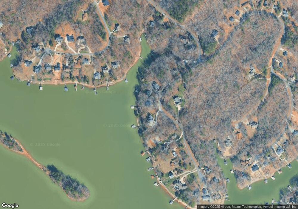
Map
Nearby Homes
- 555 Laurel Cove Rd
- Princeton Plan at Harbor Watch
- Berkeley Plan at Harbor Watch
- Davidson Plan at Harbor Watch
- Harvard Plan at Harbor Watch
- Madison Plan at Harbor Watch
- Columbia Plan at Harbor Watch
- 463 Laurel Cove Rd
- 122 High Lake Dr
- 243 S Harbor Watch Dr
- 243 S Harbor Watch Dr Unit 22
- 142 Mimosa Rd
- 204 S Harbor Watch Dr
- 131 High Lake Dr
- 0000 Spring Shore Rd
- 227 Spring Shore Rd
- L177 Laurel Cove Rd
- 1122 Astoria Pkwy
- 139 N Harbor Watch Dr
- 8118 Summit Ridge Dr
- 506 Laurel Cove Rd
- 516 Laurel Cove Rd
- 504 Laurel Cove Rd
- 501 Laurel Cove Rd
- L53-2 Laurel Cove Rd
- 523 Laurel Cove Rd
- 524 Laurel Cove Rd
- 530 Laurel Cove Rd
- 492 Laurel Cove Rd
- 171 High Lake Dr
- 538 Laurel Cove Rd
- 175 High Lake Dr
- 488 Laurel Cove Rd
- 163 High Lake Dr Unit 3
- 179 High Lake Dr
- 542 Laurel Cove Rd
- 159 High Lake Dr
- 548 Laurel Cove Rd
- 454 Laurel Cove Rd
- 464 Laurel Cove Rd