Estimated Value: $117,000 - $241,000
--
Bed
--
Bath
2,533
Sq Ft
$67/Sq Ft
Est. Value
About This Home
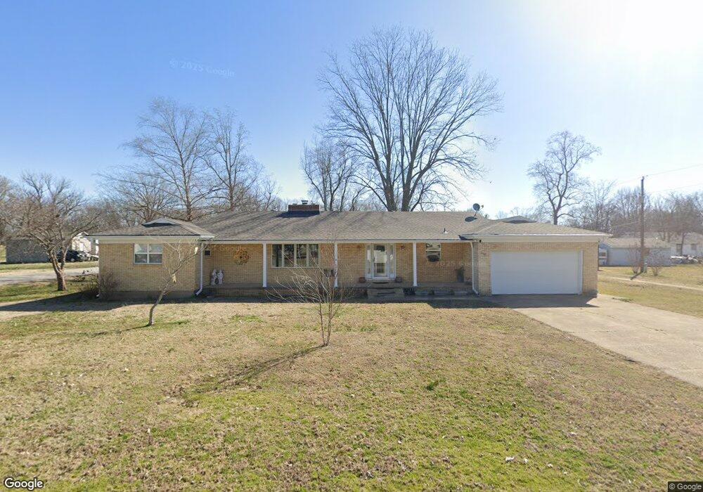
This home is located at 510 Lowry St, Fisk, MO 63940 and is currently estimated at $170,803, approximately $67 per square foot. 510 Lowry St is a home with nearby schools including Twin Rivers High School.
Create a Home Valuation Report for This Property
The Home Valuation Report is an in-depth analysis detailing your home's value as well as a comparison with similar homes in the area
Home Values in the Area
Average Home Value in this Area
Tax History Compared to Growth
Tax History
| Year | Tax Paid | Tax Assessment Tax Assessment Total Assessment is a certain percentage of the fair market value that is determined by local assessors to be the total taxable value of land and additions on the property. | Land | Improvement |
|---|---|---|---|---|
| 2024 | $7 | $15,120 | $0 | $0 |
| 2023 | $693 | $15,120 | $0 | $0 |
| 2022 | $669 | $14,610 | $0 | $0 |
| 2021 | $678 | $14,610 | $0 | $0 |
| 2020 | $656 | $13,760 | $0 | $0 |
| 2019 | $651 | $13,760 | $0 | $0 |
| 2018 | $651 | $13,760 | $0 | $0 |
| 2017 | -- | $13,760 | $0 | $0 |
| 2016 | -- | $13,760 | $0 | $0 |
| 2015 | -- | $13,760 | $0 | $0 |
| 2014 | -- | $12,800 | $0 | $0 |
| 2012 | $464 | $11,200 | $0 | $0 |
Source: Public Records
Map
Nearby Homes
- 401 3rd St
- Off Hwy Dd
- Off Hwy Dd
- 1706 County Road 622
- 2458 County Road 622
- 1329 Cr 581
- 1329 County Road 581
- 00 County Road 628
- 5040 County Road 628
- 251 Highway Z
- 2816 County Road 628
- 6771 Highway 51
- 14007 State Highway Ww
- 36 County Road 629
- 1181 U S 60
- 6928 State Highway Ff
- 620 County Rd
- 2826 Highway T
- 54 County Road 560
- 18384 County Road 487