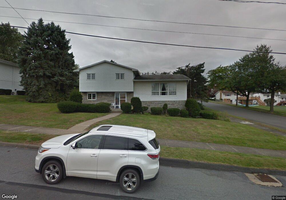
510 Marjorie Dr Dunmore, PA 18512
Estimated Value: $218,585 - $300,000
--
Bed
--
Bath
--
Sq Ft
0.29
Acres
About This Home
This home is located at 510 Marjorie Dr, Dunmore, PA 18512 and is currently estimated at $265,896. 510 Marjorie Dr is a home located in Lackawanna County with nearby schools including Red Mountain School, Dunmore Elementary Center, and St. Mary of Mount Carmel School.
Ownership History
Date
Name
Owned For
Owner Type
Purchase Details
Closed on
Aug 15, 2024
Sold by
Donovan Agnes and Alliance Advocacy
Bought by
Ross Dennis and Ross Joseph
Current Estimated Value
Home Financials for this Owner
Home Financials are based on the most recent Mortgage that was taken out on this home.
Original Mortgage
$225,450
Outstanding Balance
$222,938
Interest Rate
6.95%
Mortgage Type
New Conventional
Estimated Equity
$42,958
Purchase Details
Closed on
Apr 24, 1968
Bought by
Donovan Agnes M
Create a Home Valuation Report for This Property
The Home Valuation Report is an in-depth analysis detailing your home's value as well as a comparison with similar homes in the area
Home Values in the Area
Average Home Value in this Area
Purchase History
| Date | Buyer | Sale Price | Title Company |
|---|---|---|---|
| Ross Dennis | $250,500 | None Listed On Document | |
| Donovan Agnes M | $28,300 | -- |
Source: Public Records
Mortgage History
| Date | Status | Borrower | Loan Amount |
|---|---|---|---|
| Open | Ross Dennis | $225,450 |
Source: Public Records
Tax History Compared to Growth
Tax History
| Year | Tax Paid | Tax Assessment Tax Assessment Total Assessment is a certain percentage of the fair market value that is determined by local assessors to be the total taxable value of land and additions on the property. | Land | Improvement |
|---|---|---|---|---|
| 2025 | $5,074 | $17,000 | $2,700 | $14,300 |
| 2024 | $4,337 | $17,000 | $2,700 | $14,300 |
| 2023 | $4,337 | $17,000 | $2,700 | $14,300 |
| 2022 | $4,069 | $17,000 | $2,700 | $14,300 |
| 2021 | $3,987 | $17,000 | $2,700 | $14,300 |
| 2020 | $3,987 | $17,000 | $2,700 | $14,300 |
| 2019 | $3,814 | $17,000 | $2,700 | $14,300 |
| 2018 | $3,751 | $17,000 | $2,700 | $14,300 |
| 2017 | $3,643 | $17,000 | $2,700 | $14,300 |
| 2016 | $1,808 | $17,000 | $2,700 | $14,300 |
| 2015 | -- | $17,000 | $2,700 | $14,300 |
| 2014 | -- | $17,000 | $2,700 | $14,300 |
Source: Public Records
Map
Nearby Homes
- 604 Marjorie Dr
- 305 Reeves St
- 427 E Warren St
- 618 Shirley Ln
- 213 N Apple St
- 115 W Warren St
- 216 Prospect St
- 314 E Drinker St
- 225, 233 E 301 East Drinker Stret
- 212 E Elm St
- 219 E Elm St
- 201 Church St
- 715 Moritz St
- 322 Oak St
- 141 Walnut St
- 350 Smith St Unit L 70
- 410 Smith St
- 1599 Electric St
- 1715 Quincy Ave
- 1420 College Ave
- 510 Marjorie Dr Unit & A
- 512 Marjorie Dr
- 2 Brenda Ln
- 438 Marjorie Dr
- 511 Jessup St
- 514 Marjorie Dr
- 509 Marjorie Dr
- 437 Jessup St
- 511 Marjorie Dr
- 437 Jessup Ave
- 513 Jessup St
- 437 Marjorie Dr at Brenda Ln
- 436 Marjorie Dr
- 513 Marjorie Dr
- 516 Marjorie Dr
- 435 Jessup St
- 515 Jessup St
- 504 Jessup St
- 502 Jessup St
- 435 Marjorie Dr