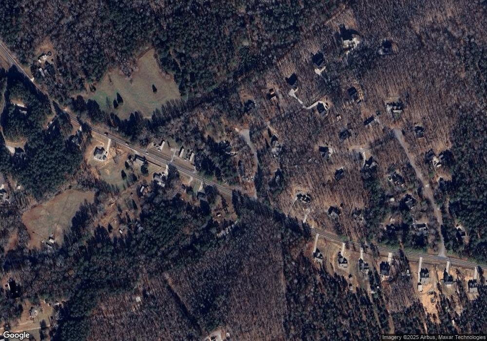
510 Mark Trail Monroe, GA 30655
Estimated Value: $282,000 - $319,842
3
Beds
2
Baths
1,486
Sq Ft
$202/Sq Ft
Est. Value
About This Home
This home is located at 510 Mark Trail, Monroe, GA 30655 and is currently estimated at $299,461, approximately $201 per square foot. 510 Mark Trail is a home located in Walton County with nearby schools including Monroe Elementary School, Carver Middle School, and Monroe Area High School.
Ownership History
Date
Name
Owned For
Owner Type
Purchase Details
Closed on
Feb 13, 2008
Sold by
Residl Fndg Co Llc
Bought by
Head Johnathan C and Wilson Ashley
Current Estimated Value
Home Financials for this Owner
Home Financials are based on the most recent Mortgage that was taken out on this home.
Original Mortgage
$113,121
Outstanding Balance
$69,733
Interest Rate
5.63%
Mortgage Type
FHA
Estimated Equity
$229,728
Purchase Details
Closed on
Aug 7, 2007
Sold by
Knight Beason and Knight Linda D
Bought by
Residential Fndg Co Llc
Purchase Details
Closed on
Sep 13, 2005
Sold by
Knight Beason
Bought by
Knight Beason and Knight Linda
Home Financials for this Owner
Home Financials are based on the most recent Mortgage that was taken out on this home.
Original Mortgage
$93,000
Interest Rate
5.77%
Mortgage Type
New Conventional
Purchase Details
Closed on
Mar 8, 1995
Sold by
Sims James M Ted E
Bought by
White Gerald
Create a Home Valuation Report for This Property
The Home Valuation Report is an in-depth analysis detailing your home's value as well as a comparison with similar homes in the area
Home Values in the Area
Average Home Value in this Area
Purchase History
| Date | Buyer | Sale Price | Title Company |
|---|---|---|---|
| Head Johnathan C | $115,000 | -- | |
| Residential Fndg Co Llc | $119,000 | -- | |
| Knight Beason | -- | -- | |
| Knight Beason | $119,000 | -- | |
| White Gerald | $10,000 | -- |
Source: Public Records
Mortgage History
| Date | Status | Borrower | Loan Amount |
|---|---|---|---|
| Open | Head Johnathan C | $113,121 | |
| Previous Owner | Knight Beason | $93,000 | |
| Closed | White Gerald | $0 |
Source: Public Records
Tax History Compared to Growth
Tax History
| Year | Tax Paid | Tax Assessment Tax Assessment Total Assessment is a certain percentage of the fair market value that is determined by local assessors to be the total taxable value of land and additions on the property. | Land | Improvement |
|---|---|---|---|---|
| 2024 | $2,257 | $97,400 | $23,200 | $74,200 |
| 2023 | $2,327 | $96,000 | $20,800 | $75,200 |
| 2022 | $2,205 | $82,520 | $16,000 | $66,520 |
| 2021 | $2,055 | $71,560 | $14,000 | $57,560 |
| 2020 | $1,934 | $63,480 | $12,000 | $51,480 |
| 2019 | $1,767 | $52,920 | $10,000 | $42,920 |
| 2018 | $1,699 | $52,920 | $10,000 | $42,920 |
| 2017 | $1,786 | $51,840 | $10,000 | $41,840 |
| 2016 | $1,441 | $43,480 | $8,000 | $35,480 |
| 2015 | $1,304 | $38,840 | $8,000 | $30,840 |
| 2014 | $1,336 | $38,840 | $0 | $0 |
Source: Public Records
Map
Nearby Homes
- 424 Springtime Way
- 270 Springtime Way
- 1186 Emmas Path
- 304 Thoroughbred Trail
- 1286 Bearden Rd
- 885 Cattle Barn Rd
- 1412 Palmer Dr
- 233 Jim Daws Rd
- 345 Mccall Way
- 440 Mount Vernon Rd NW
- 782 Michael Rd
- 213 Sinclair Way
- 216 Saddle Creek Dr
- 2500 Old Athens Hwy
- 1650 & 1620 Locklin Cemetery Rd
- 1650 Locklin Cemetery Rd
- 0 Bearden Rd
- 1726 Georgia 83
- 520 Mark Trail
- 515 Mark Trail
- 525 Mark Trail
- 530 Mark Trail
- 354 Mount Vernon Rd
- 360 Mount Vernon Rd NW
- 555 Mark Trail
- 540 Mark Trail
- 344 Mount Vernon Rd
- 281 Mount Vernon Rd NW
- 550 Mark Trail
- 340 Mount Vernon Rd
- 490 Laura Dr
- 382 Mount Vernon Rd
- 565 Mark Trail
- 271 Mount Vernon Rd NW
- 0 Laura Dr Unit 7626685
- 0 Laura Dr Unit 7557518
- 0 Laura Dr Unit 7237230
- 560 Mark Trail
