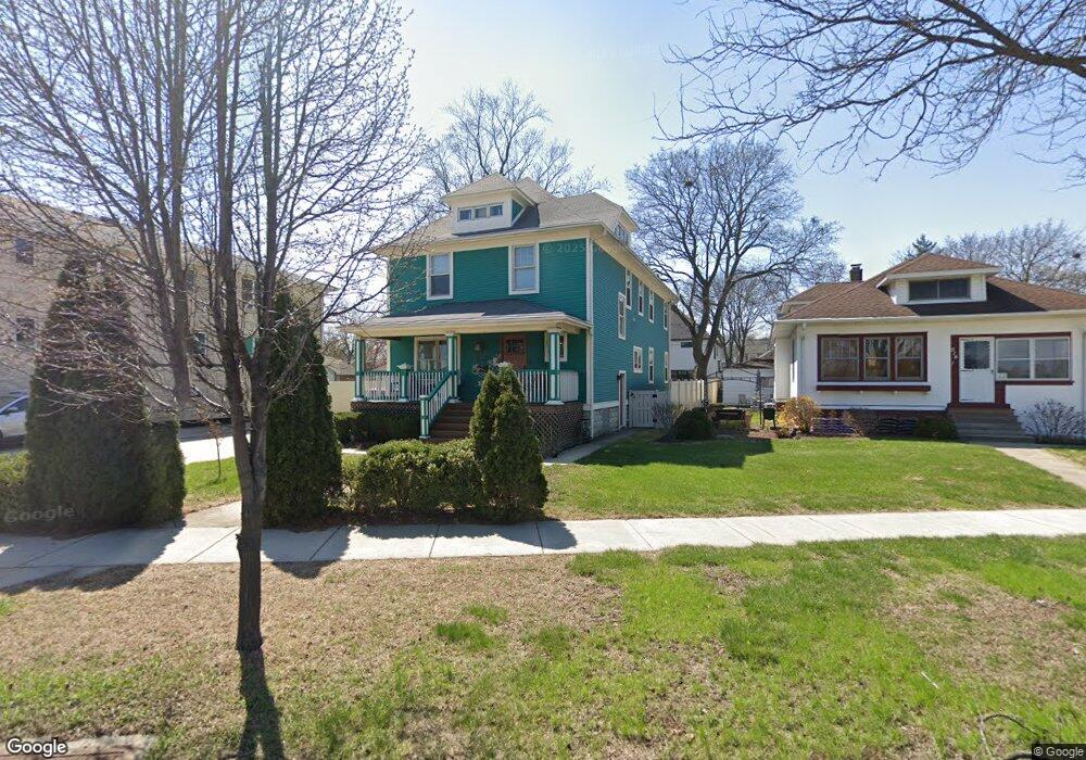
510 N La Grange Rd La Grange Park, IL 60526
Estimated Value: $1,004,602 - $1,059,000
5
Beds
3
Baths
3,800
Sq Ft
$272/Sq Ft
Est. Value
About This Home
This home is located at 510 N La Grange Rd, La Grange Park, IL 60526 and is currently estimated at $1,032,901, approximately $271 per square foot. 510 N La Grange Rd is a home located in Cook County with nearby schools including Ogden Ave Elementary School, Park Junior High School, and Lyons Township High School.
Ownership History
Date
Name
Owned For
Owner Type
Purchase Details
Closed on
Jun 10, 2011
Sold by
Stover Management Corporation
Bought by
White Timothy R and White Tracie S
Current Estimated Value
Home Financials for this Owner
Home Financials are based on the most recent Mortgage that was taken out on this home.
Original Mortgage
$416,720
Outstanding Balance
$288,891
Interest Rate
4.75%
Mortgage Type
New Conventional
Estimated Equity
$744,010
Purchase Details
Closed on
Feb 28, 2010
Sold by
Stover Phillip J
Bought by
Stover Partners #3 Lp
Purchase Details
Closed on
Jan 25, 2007
Sold by
Costello Steve
Bought by
Stover Phillip J
Create a Home Valuation Report for This Property
The Home Valuation Report is an in-depth analysis detailing your home's value as well as a comparison with similar homes in the area
Home Values in the Area
Average Home Value in this Area
Purchase History
| Date | Buyer | Sale Price | Title Company |
|---|---|---|---|
| White Timothy R | $521,000 | First American Title | |
| Stover Partners #3 Lp | -- | None Available | |
| Stover Phillip J | $305,000 | None Available |
Source: Public Records
Mortgage History
| Date | Status | Borrower | Loan Amount |
|---|---|---|---|
| Open | White Timothy R | $416,720 |
Source: Public Records
Tax History Compared to Growth
Tax History
| Year | Tax Paid | Tax Assessment Tax Assessment Total Assessment is a certain percentage of the fair market value that is determined by local assessors to be the total taxable value of land and additions on the property. | Land | Improvement |
|---|---|---|---|---|
| 2024 | $16,009 | $66,001 | $6,868 | $59,133 |
| 2023 | $15,935 | $66,001 | $6,868 | $59,133 |
| 2022 | $15,935 | $55,791 | $6,030 | $49,761 |
| 2021 | $15,343 | $55,791 | $6,030 | $49,761 |
| 2020 | $15,048 | $55,791 | $6,030 | $49,761 |
| 2019 | $15,842 | $59,058 | $5,527 | $53,531 |
| 2018 | $15,573 | $59,058 | $5,527 | $53,531 |
| 2017 | $15,181 | $59,058 | $5,527 | $53,531 |
| 2016 | $13,656 | $47,696 | $5,025 | $42,671 |
| 2015 | $12,243 | $47,696 | $5,025 | $42,671 |
| 2014 | $12,070 | $47,696 | $5,025 | $42,671 |
| 2013 | $10,331 | $42,105 | $5,025 | $37,080 |
Source: Public Records
Map
Nearby Homes
- 425 N Catherine Ave
- 141 N La Grange Rd Unit 905
- 141 N La Grange Rd Unit 601
- 141 N La Grange Rd Unit 504
- 818 N La Grange Rd
- 636 N Stone Ave
- 606 N Brainard Ave
- 54 N Ashland Ave
- 314 Beach Ave
- 638 N Edgewood Ave
- 709 Bell Ave
- 326 Kemman Ave
- 11 6th Ave Unit 2A
- 28 6th Ave Unit 1D
- 25 S La Grange Rd Unit E
- 75 E Harris Ave Unit 1E
- 31 Bluff Ave
- 314 E 31st St
- 17-19 N Brainard Ave
- 48 N Park Rd
- 504 N La Grange Rd Unit 2
- 504 N La Grange Rd
- 514 N La Grange Rd
- 518 N La Grange Rd
- 502 N La Grange Rd
- 511 N Ashland Ave
- 507 N Ashland Ave
- 515 N Ashland Ave
- 501 N Ashland Ave
- 522 N La Grange Rd
- 523 N Ashland Ave
- 528 N La Grange Rd
- 527 N Ashland Ave
- 16 W Woodlawn Ave
- 446 N La Grange Rd
- 12 W Woodlawn Ave
- 445 N Ashland Ave
- 532 N La Grange Rd
- 531 N Ashland Ave
- 438 N La Grange Rd