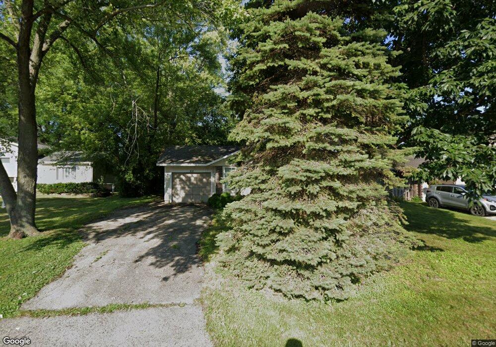
510 Northgate Rd Unit 28 Lindenhurst, IL 60046
Estimated Value: $249,000 - $296,000
3
Beds
1
Bath
925
Sq Ft
$295/Sq Ft
Est. Value
About This Home
This home is located at 510 Northgate Rd Unit 28, Lindenhurst, IL 60046 and is currently estimated at $272,582, approximately $294 per square foot. 510 Northgate Rd Unit 28 is a home located in Lake County with nearby schools including Lakes Community High School.
Ownership History
Date
Name
Owned For
Owner Type
Purchase Details
Closed on
Aug 14, 2009
Sold by
Secretary Of Housing & Urban Development
Bought by
Drobilek Michael J
Current Estimated Value
Purchase Details
Closed on
Dec 3, 2008
Sold by
Benson
Bought by
Secretary Of Housing & Urban Development
Purchase Details
Closed on
May 10, 2000
Sold by
Macarthur Robert P
Bought by
Benson John O and Benson Susan E
Home Financials for this Owner
Home Financials are based on the most recent Mortgage that was taken out on this home.
Original Mortgage
$119,912
Interest Rate
8.18%
Mortgage Type
FHA
Purchase Details
Closed on
May 16, 1994
Sold by
Macarthur Dawn M
Bought by
Macarthur Robert P
Create a Home Valuation Report for This Property
The Home Valuation Report is an in-depth analysis detailing your home's value as well as a comparison with similar homes in the area
Home Values in the Area
Average Home Value in this Area
Purchase History
| Date | Buyer | Sale Price | Title Company |
|---|---|---|---|
| Drobilek Michael J | -- | Stewart Title Company | |
| Secretary Of Housing & Urban Development | -- | None Available | |
| Benson John O | $121,500 | -- | |
| Macarthur Robert P | -- | -- |
Source: Public Records
Mortgage History
| Date | Status | Borrower | Loan Amount |
|---|---|---|---|
| Previous Owner | Benson John O | $119,912 |
Source: Public Records
Tax History Compared to Growth
Tax History
| Year | Tax Paid | Tax Assessment Tax Assessment Total Assessment is a certain percentage of the fair market value that is determined by local assessors to be the total taxable value of land and additions on the property. | Land | Improvement |
|---|---|---|---|---|
| 2024 | $6,066 | $70,787 | $13,442 | $57,345 |
| 2023 | $5,686 | $62,544 | $11,877 | $50,667 |
| 2022 | $5,686 | $55,793 | $11,026 | $44,767 |
| 2021 | $5,389 | $51,828 | $10,242 | $41,586 |
| 2020 | $5,259 | $50,168 | $9,914 | $40,254 |
| 2019 | $5,381 | $48,215 | $9,528 | $38,687 |
| 2018 | $4,188 | $40,167 | $13,951 | $26,216 |
| 2017 | $4,071 | $39,096 | $13,579 | $25,517 |
| 2016 | $4,140 | $37,513 | $13,029 | $24,484 |
| 2015 | $3,930 | $39,905 | $12,169 | $27,736 |
| 2014 | $4,058 | $38,713 | $12,225 | $26,488 |
| 2012 | $3,784 | $38,772 | $13,899 | $24,873 |
Source: Public Records
Map
Nearby Homes
- 418 Surrey Ln
- 422 Northgate Rd
- 527 Northgate Rd Unit 28
- 691 N Autumn Cir
- 59 Chestnut Cir
- 405 Woodland Trail
- 420 Woodland Trail
- 102 Hawthorne Dr
- 428 Woodland Trail
- 694 Monroe Dr
- 692 Monroe Dr
- 1896 E Vista Terrace
- 433 Woodland Trail
- 434 Woodland Trail
- 437 Woodland Trail
- 1900 Burr Oak Ln Unit 15
- 1847 Natures Ct
- 812 Auburn Ln
- 725 Porter Cir
- 724 Porter Cir
- 508 Northgate Rd
- 512 Northgate Rd
- 506 Northgate Rd
- 514 Northgate Rd
- 509 Northgate Rd Unit 28
- 507 Northgate Rd
- 504 Northgate Rd
- 516 Northgate Rd
- 505 Northgate Rd
- 522 N Beck Rd Unit 28
- 511 Northgate Rd
- 502 Northgate Rd
- 518 Northgate Rd
- 520 N Beck Rd
- 503 Northgate Rd
- 524 N Beck Rd
- 520 Northgate Rd
- 518 N Beck Rd
- 500 Northgate Rd
- 513 Northgate Rd