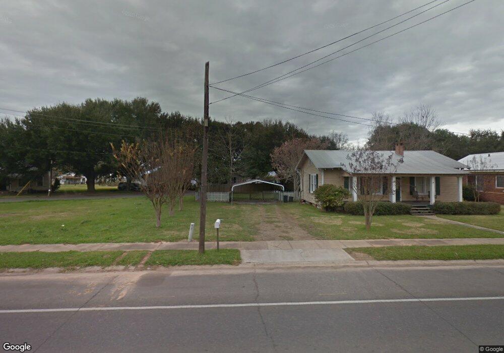
510 Pershing Ave Bunkie, LA 71322
Estimated Value: $62,000 - $107,591
Studio
--
Bath
--
Sq Ft
12,240
Sq Ft
About This Home
This home is located at 510 Pershing Ave, Bunkie, LA 71322 and is currently estimated at $90,398. 510 Pershing Ave is a home located in Avoyelles Parish with nearby schools including Bunkie Elementary School, Bunkie Magnet High School, and St. Anthony of Padua Catholic School.
Ownership History
Date
Name
Owned For
Owner Type
Purchase Details
Closed on
Sep 19, 2018
Sold by
Butterfield Fred
Bought by
Mickens Earl H
Current Estimated Value
Home Financials for this Owner
Home Financials are based on the most recent Mortgage that was taken out on this home.
Original Mortgage
$85,000
Outstanding Balance
$48,508
Interest Rate
4.5%
Mortgage Type
Purchase Money Mortgage
Estimated Equity
$41,890
Purchase Details
Closed on
Mar 10, 2006
Sold by
Blood Joshua Blaine and Blood Heather Michelle Christal
Bought by
Butterfield Fred
Create a Home Valuation Report for This Property
The Home Valuation Report is an in-depth analysis detailing your home's value as well as a comparison with similar homes in the area
Home Values in the Area
Average Home Value in this Area
Purchase History
| Date | Buyer | Sale Price | Title Company |
|---|---|---|---|
| Mickens Earl H | $85,000 | -- | |
| Butterfield Fred | $60,000 | None Available |
Source: Public Records
Mortgage History
| Date | Status | Borrower | Loan Amount |
|---|---|---|---|
| Open | Mickens Earl H | $85,000 |
Source: Public Records
Tax History
| Year | Tax Paid | Tax Assessment Tax Assessment Total Assessment is a certain percentage of the fair market value that is determined by local assessors to be the total taxable value of land and additions on the property. | Land | Improvement |
|---|---|---|---|---|
| 2024 | $789 | $8,300 | $1,600 | $6,700 |
| 2023 | $794 | $8,300 | $1,600 | $6,700 |
| 2022 | $765 | $8,300 | $1,600 | $6,700 |
| 2021 | $765 | $8,300 | $1,600 | $6,700 |
| 2019 | $713 | $8,300 | $1,600 | $6,700 |
| 2018 | $559 | $6,050 | $840 | $5,210 |
| 2017 | $559 | $6,050 | $840 | $5,210 |
| 2015 | $619 | $6,050 | $840 | $5,210 |
| 2013 | $539 | $6,050 | $840 | $5,210 |
Source: Public Records
Map
Nearby Homes
- 305 Hibernia St
- 616 S Holly St
- 604 S Holly St
- 706 Chennault St
- 501 & 503 S Lexington Ave
- 711 Patton St
- 301 Cedar St
- 307 S Mabel St
- 1005 Keller St
- 1908 Louisiana 29
- 106 E Commercial St
- 100 S Lexington Ave
- 300 S Sewell Place
- 940 Highway 29 S
- 100 S Gayle Ave
- 210 N Weir Ave
- 1708 Oak Manor Dr
- 204 Chicken Ln
- 1745 Louisiana 115
- 1646 Shirley Rd
- 508 Pershing Ave
- 800 S Holly St
- 709 S Holly St
- 802 S Holly St
- 504 Pershing Ave
- 712 S Holly St
- 806 S Holly St
- 509 Pershing Ave
- 511 Pershing Ave
- 707 S Holly St
- 515 Pershing Ave
- 705 S Holly St
- 808 S Holly St
- 507 Pershing Ave
- 502 Pershing Ave
- 407 Hanover St
- 704 S Holly St
- 505 Pershing Ave
- 711 S Mabel St
- 311 Hibernia St
Your Personal Tour Guide
Ask me questions while you tour the home.