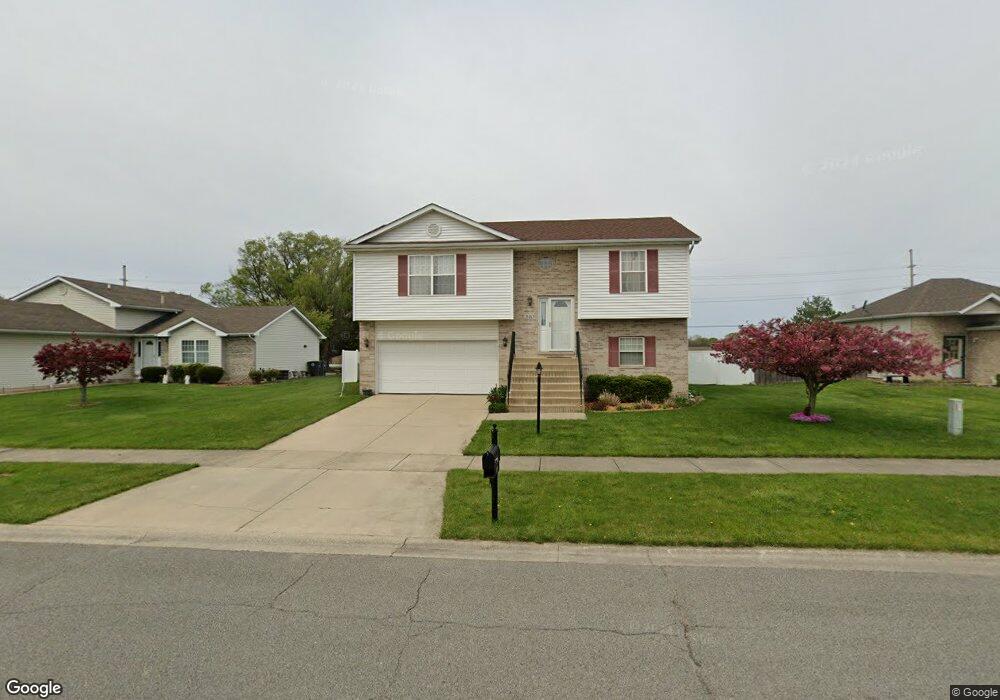
510 Pheasant Run Dr Hobart, IN 46342
Estimated Value: $275,606 - $334,000
3
Beds
3
Baths
1,714
Sq Ft
$173/Sq Ft
Est. Value
About This Home
This home is located at 510 Pheasant Run Dr, Hobart, IN 46342 and is currently estimated at $297,152, approximately $173 per square foot. 510 Pheasant Run Dr is a home located in Lake County with nearby schools including Hobart High School and Hobart Baptist School.
Ownership History
Date
Name
Owned For
Owner Type
Purchase Details
Closed on
Aug 24, 2006
Sold by
Scibetta Joseph R and Scibetta Michelle A
Bought by
Serratore Michael
Current Estimated Value
Home Financials for this Owner
Home Financials are based on the most recent Mortgage that was taken out on this home.
Original Mortgage
$151,511
Interest Rate
6.7%
Mortgage Type
Purchase Money Mortgage
Create a Home Valuation Report for This Property
The Home Valuation Report is an in-depth analysis detailing your home's value as well as a comparison with similar homes in the area
Home Values in the Area
Average Home Value in this Area
Purchase History
| Date | Buyer | Sale Price | Title Company |
|---|---|---|---|
| Serratore Michael | -- | Stewart Title Services Of No |
Source: Public Records
Mortgage History
| Date | Status | Borrower | Loan Amount |
|---|---|---|---|
| Previous Owner | Serratore Michael | $151,511 |
Source: Public Records
Tax History Compared to Growth
Tax History
| Year | Tax Paid | Tax Assessment Tax Assessment Total Assessment is a certain percentage of the fair market value that is determined by local assessors to be the total taxable value of land and additions on the property. | Land | Improvement |
|---|---|---|---|---|
| 2024 | $9,050 | $223,400 | $40,100 | $183,300 |
| 2023 | $1,640 | $221,700 | $40,100 | $181,600 |
| 2022 | $1,640 | $179,500 | $37,100 | $142,400 |
| 2021 | $1,203 | $159,500 | $28,700 | $130,800 |
| 2020 | $1,084 | $155,800 | $28,700 | $127,100 |
| 2019 | $1,097 | $151,700 | $28,700 | $123,000 |
| 2018 | $957 | $144,800 | $28,700 | $116,100 |
| 2017 | $908 | $142,300 | $28,700 | $113,600 |
| 2016 | $792 | $138,900 | $28,700 | $110,200 |
| 2014 | $664 | $140,000 | $28,700 | $111,300 |
| 2013 | $1,029 | $138,700 | $28,700 | $110,000 |
Source: Public Records
Map
Nearby Homes
- 121 Cressmoor Blvd
- 127 Cressmoor Blvd
- 115 Cressmoor Blvd
- 133 Cressmoor Blvd
- 120 Cressmoor Blvd
- 132 Cressmoor Blvd
- 138 Cressmoor Blvd
- 152 Cressmoor Blvd
- 158 Cressmoor Blvd
- 170 Cressmoor Blvd
- 176 Cressmoor Blvd
- HOLCOMBE Plan at Cressmoor Estates - Single Family Homes
- SIENNA Plan at Cressmoor Estates - Single Family Homes
- HARMONY Plan at Cressmoor Estates - Single Family Homes
- PRESTON Plan at Cressmoor Estates - Townhomes
- BELLAMY Plan at Cressmoor Estates - Single Family Homes
- 220 N Lake Park Ave
- 248 N Washington St
- 2 W Old Ridge Rd
- 7 Beverly Blvd
- 510 Pheasant Dr
- 500 Pheasant Run Dr
- 490 Pheasant Run Dr
- 530 Pheasant Run Dr
- 90 Quail Ct
- 91 Quail Ct
- 480 Pheasant Run Dr
- 540 Pheasant Run Dr
- 135 Cressmoor Blvd
- 550 Pheasant Run Dr
- 470 Pheasant Run Dr
- 541 Pheasant Run Dr
- 95 Quail Ct
- 96 Quail Ct
- 475 Pheasant Run Dr
- 139 Cressmoor Blvd
- 100 Quail Ct
- 100 Hidden Lake Dr
- 129 Pheasant Run Dr
- 120 Hidden Dr