Estimated Value: $61,000 - $151,000
--
Bed
1
Bath
1,176
Sq Ft
$88/Sq Ft
Est. Value
About This Home
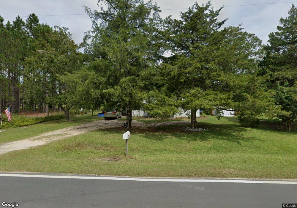
This home is located at 510 Radio Station Rd, Alma, GA 31510 and is currently estimated at $103,961, approximately $88 per square foot. 510 Radio Station Rd is a home located in Bacon County with nearby schools including Bacon County Primary School, Bacon County Elementary School, and Bacon County Middle School.
Ownership History
Date
Name
Owned For
Owner Type
Purchase Details
Closed on
Jul 25, 2006
Sold by
Britt Mary Mccrea
Bought by
Britt Mary Mccrea and Britt Nall Jerry
Current Estimated Value
Purchase Details
Closed on
Jul 24, 1967
Sold by
Waters J G
Bought by
Britt Mary M
Create a Home Valuation Report for This Property
The Home Valuation Report is an in-depth analysis detailing your home's value as well as a comparison with similar homes in the area
Home Values in the Area
Average Home Value in this Area
Purchase History
| Date | Buyer | Sale Price | Title Company |
|---|---|---|---|
| Britt Mary Mccrea | -- | -- | |
| Britt Mary M | -- | -- |
Source: Public Records
Tax History Compared to Growth
Tax History
| Year | Tax Paid | Tax Assessment Tax Assessment Total Assessment is a certain percentage of the fair market value that is determined by local assessors to be the total taxable value of land and additions on the property. | Land | Improvement |
|---|---|---|---|---|
| 2024 | $450 | $17,576 | $1,840 | $15,736 |
| 2023 | $432 | $16,256 | $1,840 | $14,416 |
| 2022 | $350 | $14,136 | $1,840 | $12,296 |
| 2021 | $340 | $13,856 | $1,840 | $12,016 |
| 2020 | $281 | $12,036 | $1,680 | $10,356 |
| 2019 | $281 | $12,036 | $1,680 | $10,356 |
| 2018 | $280 | $12,053 | $1,680 | $10,373 |
| 2017 | $485 | $12,053 | $1,680 | $10,373 |
| 2016 | $280 | $12,053 | $1,680 | $10,373 |
| 2015 | $341 | $13,559 | $1,781 | $11,778 |
| 2014 | $269 | $13,559 | $1,781 | $11,778 |
| 2013 | $269 | $11,591 | $1,780 | $9,810 |
Source: Public Records
Map
Nearby Homes
- 611 S Bead St
- 403 S Ware St
- 117 Grace Loop Unit 1
- 118 Grace Loop Unit 1
- 122 Grace Loop Unit 1
- 9TH E 417
- 314 W 16th St
- 1348 U S 1
- 113 Brite Blue Dr
- 907 N Pierce St
- 198 Meadow Rd
- 166 Grace Loop Unit 1
- 0 Oriole Rd Unit 1654653
- 0 Oriole Rd Unit 10543585
- 0 Oriole Rd Unit 25773381
- 0 Oriole Rd Unit 160930
- 401 Lee St
- 224 Meadow Rd
- 118 Morris Dr
- 1109 W 4th Street Extension
- 704 Townsend Ln
- 706 Townsend Ln
- 511 Radio Station Rd
- 507 Radio Station Rd
- 603 Radio Station Rd
- 708 Townsend Ln
- 710 Townsend Ln
- 308 Crosby Rd
- 310 Crosby Rd
- 607 Radio Station Rd
- 501 Radio Station Rd
- 304 Crosby Rd
- 712 Townsend Ln
- 0 Townsend Ln
- 108 Mccrea Ave
- 507 Townsend Ln
- 613 Radio Station Rd
- 305 Crosby Rd
- 619 Radio Station Rd
- 309 Crosby Rd