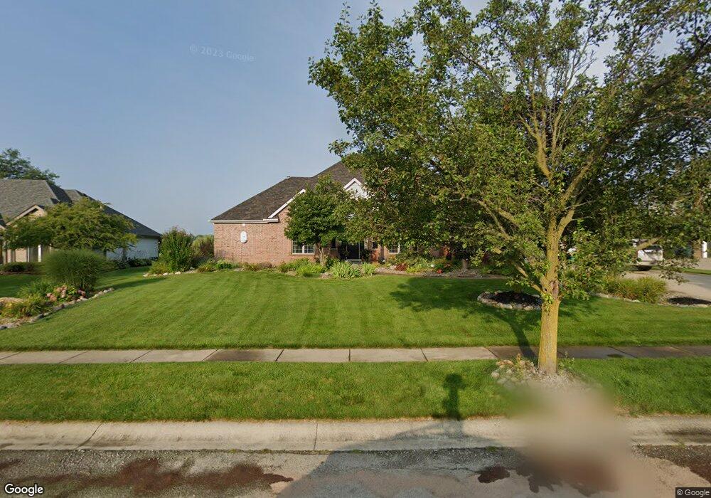
510 Red Bluff Dr Fort Wayne, IN 46814
Southwest Fort Wayne NeighborhoodEstimated Value: $671,000 - $697,000
5
Beds
5
Baths
3,317
Sq Ft
$205/Sq Ft
Est. Value
About This Home
This home is located at 510 Red Bluff Dr, Fort Wayne, IN 46814 and is currently estimated at $679,032, approximately $204 per square foot. 510 Red Bluff Dr is a home located in Allen County with nearby schools including Deer Ridge Elementary School, Woodside Middle School, and Homestead Senior High School.
Ownership History
Date
Name
Owned For
Owner Type
Purchase Details
Closed on
Feb 21, 2003
Sold by
Ceratti Gilberto and Ceratti Zaida
Bought by
Mcknight Lee C and Mcknight Rosalind M
Current Estimated Value
Home Financials for this Owner
Home Financials are based on the most recent Mortgage that was taken out on this home.
Original Mortgage
$422,500
Outstanding Balance
$213,928
Interest Rate
8.5%
Estimated Equity
$465,104
Create a Home Valuation Report for This Property
The Home Valuation Report is an in-depth analysis detailing your home's value as well as a comparison with similar homes in the area
Home Values in the Area
Average Home Value in this Area
Purchase History
| Date | Buyer | Sale Price | Title Company |
|---|---|---|---|
| Mcknight Lee C | -- | Three Rivers Title Company I |
Source: Public Records
Mortgage History
| Date | Status | Borrower | Loan Amount |
|---|---|---|---|
| Open | Mcknight Lee C | $422,500 |
Source: Public Records
Tax History Compared to Growth
Tax History
| Year | Tax Paid | Tax Assessment Tax Assessment Total Assessment is a certain percentage of the fair market value that is determined by local assessors to be the total taxable value of land and additions on the property. | Land | Improvement |
|---|---|---|---|---|
| 2024 | $4,808 | $626,900 | $68,400 | $558,500 |
| 2023 | $4,808 | $602,000 | $68,400 | $533,600 |
| 2022 | $4,470 | $576,000 | $68,400 | $507,600 |
| 2021 | $4,104 | $511,400 | $68,400 | $443,000 |
| 2020 | $3,833 | $468,100 | $68,400 | $399,700 |
| 2019 | $3,874 | $458,100 | $68,400 | $389,700 |
| 2018 | $3,572 | $431,500 | $68,400 | $363,100 |
| 2017 | $3,822 | $431,400 | $68,400 | $363,000 |
| 2016 | $3,914 | $433,800 | $68,400 | $365,400 |
| 2014 | $4,527 | $492,100 | $83,300 | $408,800 |
| 2013 | $4,551 | $473,600 | $83,300 | $390,300 |
Source: Public Records
Map
Nearby Homes
- 10528 Indian Ridge Dr
- 10216 Chestnut Plaza Dr Unit 1
- 10215 Chestnut Plaza Dr Unit 69
- 10237 Chestnut Plaza Dr Unit 68
- 10576 Chestnut Plaza Dr Unit 15
- 10238 Chestnut Plaza Dr Unit 2
- 11125 Creekwood Ct
- 11212 Bay Pines Ct
- 10620 Chestnut Creek Blvd
- 10959 Kola Crossover
- 1430 Copper Beech Run
- TBD S Scott Rd Unit 303
- 1611 Sycamore Hills Dr
- 1521 Spring Cress Rd
- 1414 Turnberry Ct
- 850 Pleasant Hill Place
- 1817 Prestwick Ln
- Aldridge Plan at Signal Ridge - Estates at Signal Ridge Villas
- Harmony Plan at Signal Ridge - Estates at Signal Ridge Villas
- Chatham Plan at Signal Ridge - Estates at Signal Ridge Villas
- 420 Red Bluff Dr
- 602 Red Bluff Dr
- 515 Red Bluff Dr
- 425 Red Bluff Dr
- 616 Red Bluff Dr
- 406 Red Bluff Dr
- 609 Red Bluff Dr Unit 163
- 609 Red Bluff Dr
- 10511 Indian Ridge Dr
- 411 Red Bluff Dr
- 704 Red Bluff Dr
- 621 Red Bluff Dr
- 10517 Indian Ridge Dr
- 10417 Indian Ridge Dr
- 707 Red Bluff Dr
- 10523 Indian Ridge Dr
- 10504 Indian Ridge Dr
- 718 Red Bluff Dr
- 10430 Indian Ridge Dr
- 10510 Indian Ridge Dr