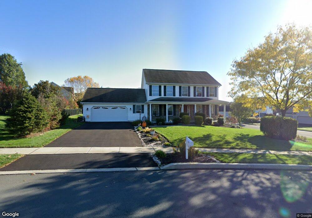
510 Red Haven Rd Palmyra, PA 17078
Estimated Value: $469,882 - $532,000
4
Beds
3
Baths
2,280
Sq Ft
$217/Sq Ft
Est. Value
About This Home
This home is located at 510 Red Haven Rd, Palmyra, PA 17078 and is currently estimated at $494,221, approximately $216 per square foot. 510 Red Haven Rd is a home located in Lebanon County with nearby schools including Palmyra Area Senior High School and Milton Hershey School.
Ownership History
Date
Name
Owned For
Owner Type
Purchase Details
Closed on
Feb 7, 2012
Current Estimated Value
Home Financials for this Owner
Home Financials are based on the most recent Mortgage that was taken out on this home.
Original Mortgage
$243,109
Outstanding Balance
$166,475
Interest Rate
3.88%
Mortgage Type
New Conventional
Estimated Equity
$327,746
Purchase Details
Closed on
Feb 15, 2007
Sold by
Carado Janice
Home Financials for this Owner
Home Financials are based on the most recent Mortgage that was taken out on this home.
Original Mortgage
$238,500
Interest Rate
6.23%
Mortgage Type
New Conventional
Create a Home Valuation Report for This Property
The Home Valuation Report is an in-depth analysis detailing your home's value as well as a comparison with similar homes in the area
Home Values in the Area
Average Home Value in this Area
Purchase History
| Date | Buyer | Sale Price | Title Company |
|---|---|---|---|
| -- | -- | None Available | |
| -- | -- | None Available |
Source: Public Records
Mortgage History
| Date | Status | Borrower | Loan Amount |
|---|---|---|---|
| Open | -- | $243,109 | |
| Closed | -- | $238,500 |
Source: Public Records
Tax History Compared to Growth
Tax History
| Year | Tax Paid | Tax Assessment Tax Assessment Total Assessment is a certain percentage of the fair market value that is determined by local assessors to be the total taxable value of land and additions on the property. | Land | Improvement |
|---|---|---|---|---|
| 2025 | $7,258 | $254,000 | $57,200 | $196,800 |
| 2024 | $6,412 | $254,000 | $57,200 | $196,800 |
| 2023 | $6,412 | $254,000 | $57,200 | $196,800 |
| 2022 | $6,117 | $254,000 | $57,200 | $196,800 |
| 2021 | $5,449 | $243,400 | $57,200 | $186,200 |
| 2020 | $5,380 | $243,400 | $57,200 | $186,200 |
| 2019 | $5,264 | $243,400 | $57,200 | $186,200 |
| 2018 | $5,097 | $243,400 | $57,200 | $186,200 |
| 2017 | $1,510 | $243,400 | $57,200 | $186,200 |
| 2016 | $4,786 | $243,400 | $57,200 | $186,200 |
| 2015 | -- | $243,400 | $57,200 | $186,200 |
| 2014 | -- | $243,400 | $57,200 | $186,200 |
Source: Public Records
Map
Nearby Homes
- 75 Cortland Crossing
- 81 Cortland Crossing
- 701 N Grant St
- 914 N Lincoln St
- 934 N Lincoln St
- 934 N Lincoln St Unit 8-04
- 918 N Lincoln St Unit 4-02
- Sedona Plan at Melrose
- Ashton Plan at Melrose
- Sloane II Plan at Melrose
- 136 N Penn St
- 564 W Cedar St
- 0 N Railroad St
- 30 Willow St
- 22 Willow St
- 14 Willow St
- 28 Evergreen Aly
- 13 Evergreen Aly
- 44 Evergreen Aly
- 4 Evergreen Aly
- 524 Red Haven Rd
- 22 Sun High Cir
- 75 Sun High Cir
- 48 Sun High Cir
- 511 Red Haven Rd
- 74 Sun High Cir
- 486 Red Haven Rd
- 487 Red Haven Rd
- 89 Peach Cir
- 440 Red Haven Rd
- 95 Bartlett Cir
- 84 Peach Cir
- 798 N Forge Rd
- 374 Red Haven Rd
- 73 Peach Cir
- 70 Peach Cir
- 373 Red Haven Rd
- 360 Red Haven Rd
- 57 Peach Cir
- 79 Bartlett Cir