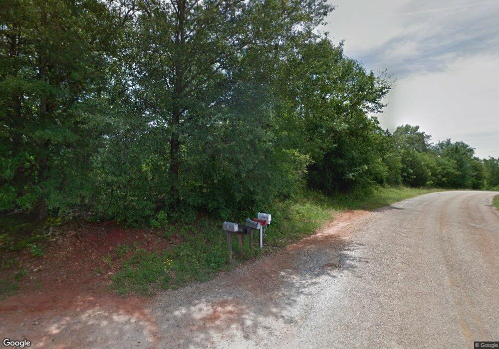
510 Rock Quarry Dr Danielsville, GA 30633
Estimated Value: $327,000 - $419,407
3
Beds
2
Baths
2,080
Sq Ft
$183/Sq Ft
Est. Value
About This Home
This home is located at 510 Rock Quarry Dr, Danielsville, GA 30633 and is currently estimated at $381,102, approximately $183 per square foot. 510 Rock Quarry Dr is a home located in Madison County with nearby schools including Madison County High School.
Ownership History
Date
Name
Owned For
Owner Type
Purchase Details
Closed on
Jan 27, 2017
Sold by
Schellsmidt Daniel
Bought by
Anglin William M and Anglin Staci D
Current Estimated Value
Home Financials for this Owner
Home Financials are based on the most recent Mortgage that was taken out on this home.
Original Mortgage
$184,594
Outstanding Balance
$153,050
Interest Rate
4.25%
Mortgage Type
FHA
Estimated Equity
$228,052
Purchase Details
Closed on
Dec 19, 2011
Sold by
Branch Banking & Trust Company
Bought by
Schellsmidt Daniel
Purchase Details
Closed on
Dec 30, 2004
Sold by
Fletcher Edgar
Bought by
Bolton Michael and Bolton Amy D
Purchase Details
Closed on
Nov 30, 2001
Bought by
Fletcher Edgar
Create a Home Valuation Report for This Property
The Home Valuation Report is an in-depth analysis detailing your home's value as well as a comparison with similar homes in the area
Home Values in the Area
Average Home Value in this Area
Purchase History
| Date | Buyer | Sale Price | Title Company |
|---|---|---|---|
| Anglin William M | $188,000 | -- | |
| Schellsmidt Daniel | $60,000 | -- | |
| Bolton Michael | $52,500 | -- | |
| Bolton Michael | $52,500 | -- | |
| Fletcher Edgar | -- | -- |
Source: Public Records
Mortgage History
| Date | Status | Borrower | Loan Amount |
|---|---|---|---|
| Open | Anglin William M | $184,594 |
Source: Public Records
Tax History Compared to Growth
Tax History
| Year | Tax Paid | Tax Assessment Tax Assessment Total Assessment is a certain percentage of the fair market value that is determined by local assessors to be the total taxable value of land and additions on the property. | Land | Improvement |
|---|---|---|---|---|
| 2024 | $3,421 | $133,440 | $38,670 | $94,770 |
| 2023 | $3,675 | $120,385 | $32,225 | $88,160 |
| 2022 | $2,660 | $98,424 | $22,154 | $76,270 |
| 2021 | $2,287 | $76,930 | $22,154 | $54,776 |
| 2020 | $2,204 | $73,708 | $18,932 | $54,776 |
| 2019 | $2,188 | $72,363 | $18,932 | $53,431 |
| 2018 | $2,080 | $68,680 | $17,320 | $51,360 |
| 2017 | $1,984 | $68,888 | $16,112 | $52,776 |
| 2016 | $1,664 | $59,978 | $16,112 | $43,866 |
| 2015 | $1,663 | $59,917 | $16,088 | $43,829 |
| 2014 | $1,673 | $59,917 | $16,088 | $43,829 |
| 2013 | -- | $59,917 | $16,088 | $43,829 |
Source: Public Records
Map
Nearby Homes
- 0 Cedar Ln Unit 1026097
- 0 Cedar Ln Unit 10530523
- 107 Hill Lake Rd
- 1885 Highway 29 N
- 0 Hwy 29 N Unit 10574548
- 0 Hwy 29 N Unit CL335575
- 0 Irvin Kirk Rd
- 795 E Jones Chapel Rd
- 0 New Haven Church Rd Unit CL334534
- 0 New Haven Church Rd Unit 10566118
- 0 New Haven Church Rd Unit CL334526
- 0 New Haven Church Rd Unit 10566119
- 28 Acres Irvin Kirk Rd
- 0 Georgia 191
- 255 Hillwood Dr Unit 1
- 430 Sherwood Cir
- 155 Mulberry Ln
- 0 Carey-Ford Rd
- 105 Georgia 98
- 170 Northridge Dr
- 400 Rock Quarry Dr
- 405 Rock Quarry Dr
- 475 Rock Quarry Dr
- 312 Rock Quarry Dr
- 5601 Highway 29 N
- 2484 Rock Quarry Rd
- tract 2 Rock Quarry Dr
- Tract 3 Rock Quarry Dr
- Track 2 Rock Quarry Dr
- Tract#3 Rock Quarry Dr
- Tract # Rock Quarry Dr
- 195 Cedar Ln
- 1252 52 Cedar Ln
- 12.52 Cedar Ln
- 0 Rock Quarry Dr Unit CM939599
- 0 Rock Quarry Dr Unit CM938225
- 0 Rock Quarry Dr Unit 941955
- 0 Rock Quarry Dr Unit 946570
- 0 Rock Quarry Dr Unit 7382394
- 0 Rock Quarry Dr Unit 10.5 Acres 8517267
