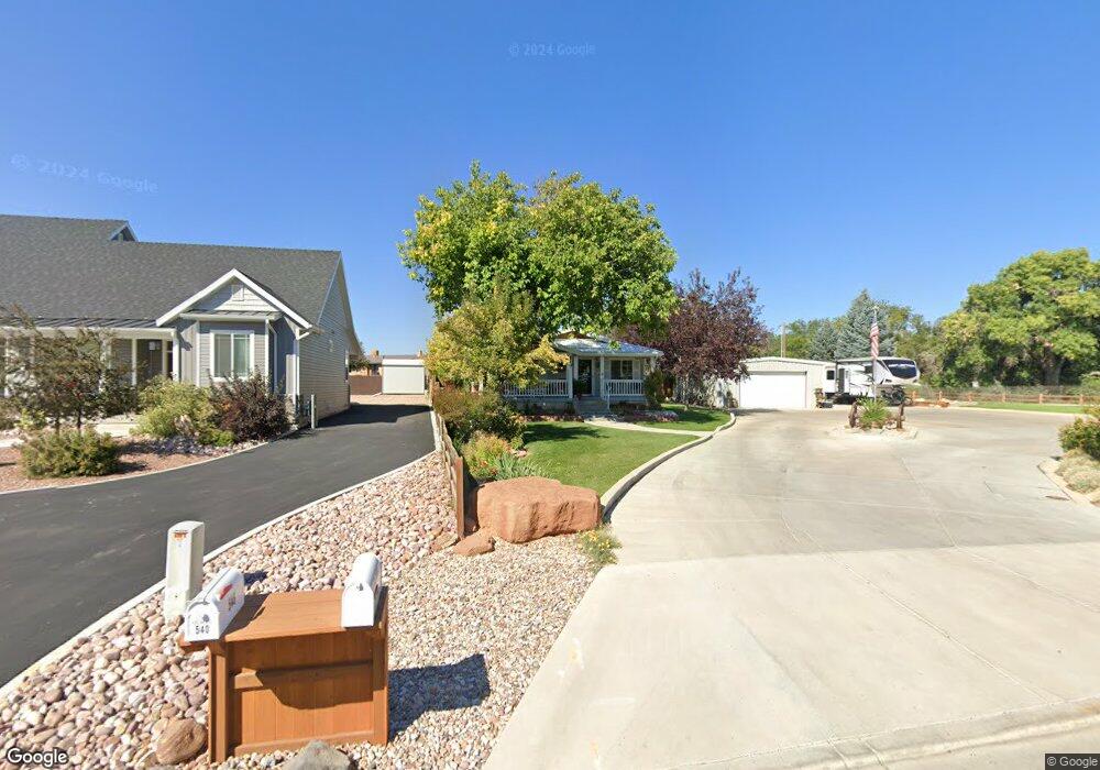
510 S 2000 E Vernal, UT 84078
Estimated Value: $269,589 - $447,000
--
Bed
--
Bath
1,352
Sq Ft
$261/Sq Ft
Est. Value
About This Home
This home is located at 510 S 2000 E, Vernal, UT 84078 and is currently estimated at $352,647, approximately $260 per square foot. 510 S 2000 E is a home located in Uintah County with nearby schools including Naples School, Vernal Middle School, and Uintah Middle School.
Ownership History
Date
Name
Owned For
Owner Type
Purchase Details
Closed on
Jan 27, 2011
Sold by
Zufelt Rex and Zufelt Margaret Elaine
Bought by
Zufelt Rex and Zufelt Margaret Elaine
Current Estimated Value
Purchase Details
Closed on
Jun 4, 2007
Sold by
Fagnan Michael J and Fagnan Tonie D
Bought by
Zufelt Rex and Zufelt Margaret Elaine
Home Financials for this Owner
Home Financials are based on the most recent Mortgage that was taken out on this home.
Original Mortgage
$155,200
Outstanding Balance
$94,709
Interest Rate
6.14%
Mortgage Type
New Conventional
Estimated Equity
$257,938
Create a Home Valuation Report for This Property
The Home Valuation Report is an in-depth analysis detailing your home's value as well as a comparison with similar homes in the area
Home Values in the Area
Average Home Value in this Area
Purchase History
| Date | Buyer | Sale Price | Title Company |
|---|---|---|---|
| Zufelt Rex | -- | -- | |
| Zufelt Rex | -- | -- |
Source: Public Records
Mortgage History
| Date | Status | Borrower | Loan Amount |
|---|---|---|---|
| Open | Zufelt Rex | $155,200 |
Source: Public Records
Tax History Compared to Growth
Tax History
| Year | Tax Paid | Tax Assessment Tax Assessment Total Assessment is a certain percentage of the fair market value that is determined by local assessors to be the total taxable value of land and additions on the property. | Land | Improvement |
|---|---|---|---|---|
| 2024 | $1,455 | $173,435 | $32,095 | $141,340 |
| 2023 | $1,501 | $128,587 | $28,247 | $100,340 |
| 2022 | $1,086 | $102,027 | $28,247 | $73,780 |
| 2021 | $1,151 | $89,222 | $28,247 | $60,975 |
| 2020 | $1,121 | $89,222 | $28,247 | $60,975 |
| 2019 | $1,138 | $89,497 | $24,750 | $64,747 |
| 2018 | $1,137 | $89,497 | $24,750 | $64,747 |
| 2017 | $12 | $92,247 | $27,500 | $64,747 |
| 2016 | $1,172 | $101,076 | $27,500 | $73,576 |
| 2015 | $1,082 | $101,076 | $27,500 | $73,576 |
| 2014 | $1,042 | $98,326 | $24,750 | $73,576 |
| 2013 | $1,064 | $98,326 | $24,750 | $73,576 |
Source: Public Records
Map
Nearby Homes
- 1698 E 500 S
- 73 S 1500 E
- 1120 E 1500 S
- 2580 E 500 N
- 2602 E 1500 S
- 1674 E 1700 S
- 828 N 1500 E
- 126 N 500 E Unit 82
- 126 N 500 E Unit 80
- 439 E 400 S
- 422 E 500 S Unit G
- 190 N 500 E Unit A202
- 190 N 500 E Unit A101
- 190 N 500 E Unit A206
- 190 N 500 E Unit A406
- 190 N 500 E Unit A304
- 190 N 500 E Unit A403
- 190 N 500 E Unit A301
- 190 N 500 E Unit A105
- 392 E 700 S Unit i
- 540 S 2000 E
- 1990 E 500 S
- 1990 E 500 S
- 1948 E 500 S
- 1933 E 500 S
- 1926 E 500 S
- 610 S 2000 E
- 1905 E 500 S
- 635 S 1900 E
- 635 S Mackenzie St
- 1862 E 500 S
- 641 S Mackenzie
- 630 S Mackenzie St
- 1955 E 700 S
- 693 S Mackenzie St
- 632 S Mackenzie St
- 1835 E 500 S
- 1938 E Split Mountain Dr
- 1938 E Split Mountain Dr
- 1796 E 500 S