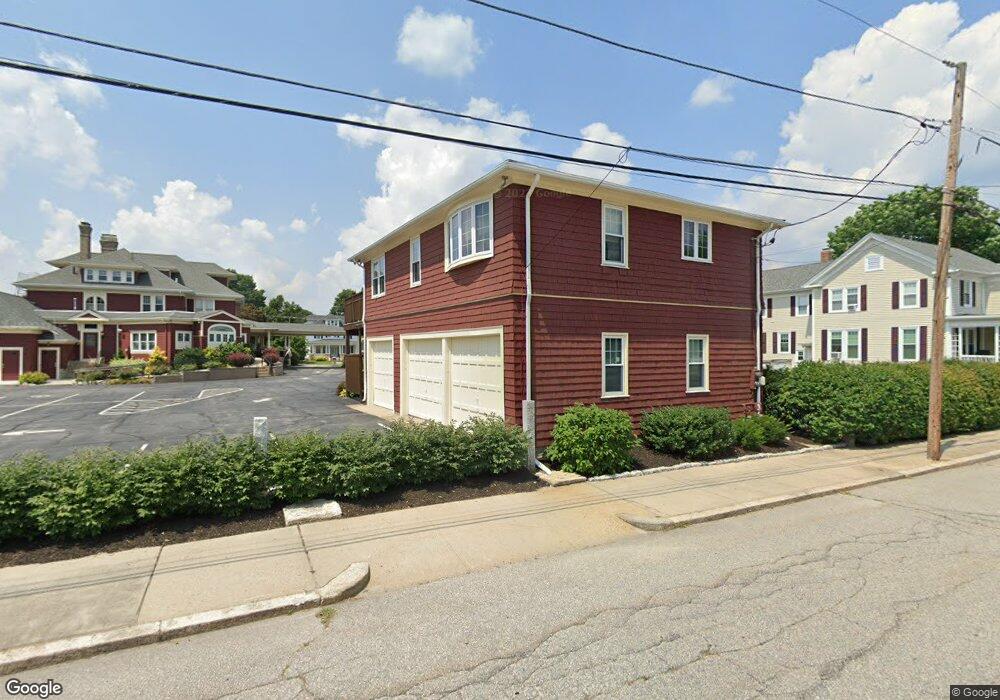
510 S Main St Woonsocket, RI 02895
Globe District NeighborhoodEstimated Value: $688,122
Studio
--
Bath
--
Sq Ft
40,511
Sq Ft Lot
About This Home
This home is located at 510 S Main St, Woonsocket, RI 02895 and is currently estimated at $688,122. 510 S Main St is a home located in Providence County with nearby schools including Woonsocket High School, Rise Prep Mayoral Academy Middle School, and Rise Prep Mayoral Academy.
Ownership History
Date
Name
Owned For
Owner Type
Purchase Details
Closed on
Dec 21, 2022
Sold by
Iris Land Management Llc
Bought by
Iris Land Management Llc
Current Estimated Value
Purchase Details
Closed on
Dec 20, 2005
Sold by
Holt Howard R and Holt Beverly A
Bought by
Noble Cynthia
Home Financials for this Owner
Home Financials are based on the most recent Mortgage that was taken out on this home.
Original Mortgage
$401,306
Interest Rate
6.34%
Mortgage Type
Commercial
Create a Home Valuation Report for This Property
The Home Valuation Report is an in-depth analysis detailing your home's value as well as a comparison with similar homes in the area
Home Values in the Area
Average Home Value in this Area
Purchase History
| Date | Buyer | Sale Price | Title Company |
|---|---|---|---|
| Iris Land Management Llc | -- | None Available | |
| Iris Land Management Llc | -- | None Available | |
| Iris Land Management Llc | -- | None Available | |
| Noble Cynthia | $401,500 | -- | |
| Noble Cynthia | $401,500 | -- |
Source: Public Records
Mortgage History
| Date | Status | Borrower | Loan Amount |
|---|---|---|---|
| Previous Owner | Noble Cynthia | $272,000 | |
| Previous Owner | Noble Cynthia | $401,306 |
Source: Public Records
Tax History
| Year | Tax Paid | Tax Assessment Tax Assessment Total Assessment is a certain percentage of the fair market value that is determined by local assessors to be the total taxable value of land and additions on the property. | Land | Improvement |
|---|---|---|---|---|
| 2025 | $9,330 | $830,800 | $131,000 | $699,800 |
| 2024 | -- | $687,200 | $103,000 | $584,200 |
| 2023 | $0 | $715,200 | $131,000 | $584,200 |
| 2022 | $0 | $687,200 | $103,000 | $584,200 |
| 2021 | $0 | $538,900 | $105,300 | $433,600 |
| 2020 | $0 | $538,900 | $105,300 | $433,600 |
| 2018 | $0 | $538,900 | $105,300 | $433,600 |
| 2017 | $0 | $495,300 | $103,000 | $392,300 |
| 2016 | -- | $495,300 | $103,000 | $392,300 |
Source: Public Records
Map
Nearby Homes
- 84 Bernice Ave
- 190 Coe St
- 184 Avenue C Unit 2
- 184 Avenue C Unit 5
- 184 Avenue C Unit 6
- 184 Avenue C Unit 3
- 184 Avenue C Unit 4
- 184 Avenue C Unit 1
- 92 Rockland Ave
- 435 S Main St
- 43 Summit St
- 34 Smithfield Rd
- 0 Holbrook Ln Unit 1402850
- 83 4th Ave
- 0 Pound Hill Rd Unit 1403654
- 0 Pound Hill Rd Unit 1403653
- 1 Admiral St
- 123 4th Ave
- 0 10th Ave
- 10 10th Ave
Your Personal Tour Guide
Ask me questions while you tour the home.