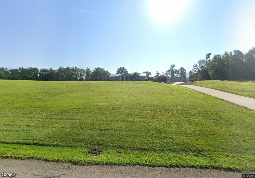
510 Simpson Rd Trafford, PA 15085
Penn Township NeighborhoodEstimated Value: $130,732 - $474,000
--
Bed
--
Bath
--
Sq Ft
3.8
Acres
About This Home
This home is located at 510 Simpson Rd, Trafford, PA 15085 and is currently estimated at $246,183. 510 Simpson Rd is a home located in Westmoreland County with nearby schools including Penn Trafford High School and Queen of Angels Catholic School.
Ownership History
Date
Name
Owned For
Owner Type
Purchase Details
Closed on
Jun 26, 2006
Sold by
Kocsis Michael J and Kocsis Barbara J
Bought by
Lentz Patrick and Caruso Jason A
Current Estimated Value
Home Financials for this Owner
Home Financials are based on the most recent Mortgage that was taken out on this home.
Original Mortgage
$25,100
Interest Rate
6.21%
Mortgage Type
Stand Alone Second
Purchase Details
Closed on
May 30, 2002
Sold by
Kocsis Anna
Bought by
Kocsis Michael J and Kocsis Barbara J
Create a Home Valuation Report for This Property
The Home Valuation Report is an in-depth analysis detailing your home's value as well as a comparison with similar homes in the area
Home Values in the Area
Average Home Value in this Area
Purchase History
| Date | Buyer | Sale Price | Title Company |
|---|---|---|---|
| Lentz Patrick | $124,900 | None Available | |
| Kocsis Michael J | -- | -- |
Source: Public Records
Mortgage History
| Date | Status | Borrower | Loan Amount |
|---|---|---|---|
| Closed | Lentz Patrick | $25,100 | |
| Open | Lentz Patrick | $99,800 |
Source: Public Records
Tax History Compared to Growth
Tax History
| Year | Tax Paid | Tax Assessment Tax Assessment Total Assessment is a certain percentage of the fair market value that is determined by local assessors to be the total taxable value of land and additions on the property. | Land | Improvement |
|---|---|---|---|---|
| 2025 | $1,169 | $8,540 | $2,540 | $6,000 |
| 2024 | $1,161 | $8,540 | $2,540 | $6,000 |
| 2023 | $1,101 | $8,540 | $2,540 | $6,000 |
| 2022 | $1,088 | $8,540 | $2,540 | $6,000 |
| 2021 | $1,080 | $8,540 | $2,540 | $6,000 |
| 2020 | $1,071 | $8,540 | $2,540 | $6,000 |
| 2019 | $1,046 | $8,540 | $2,540 | $6,000 |
| 2018 | $1,016 | $8,540 | $2,540 | $6,000 |
| 2017 | $990 | $8,540 | $2,540 | $6,000 |
| 2016 | $961 | $8,540 | $2,540 | $6,000 |
| 2015 | $961 | $8,540 | $2,540 | $6,000 |
| 2014 | $944 | $8,540 | $2,540 | $6,000 |
Source: Public Records
Map
Nearby Homes
- 6411 Ten Point Cir
- 1004 Christina Ct
- 3132 Baker School Rd
- 0 Pine Hollow Road Extension
- 1004 Government Rd
- 6178 Baker School Rd
- 611 & 611 1/2 Sixth St
- 0 Evergreen (Lot 21-22) Unit 1711486
- 1015 Noble Pine Ct
- 1004 Blueridge Ct
- 160 Sunrise Dr
- 729 State Route 130
- 2620 Bickerstaff Rd
- 301 Pine Hollow Rd
- 708 State Route 130
- 1 Ben Franklin Dr
- 4073 Route 130
- 15 Penntowne Dr
- 1010 1st St
- 113 Penn Woods Ct
- 510 Simpson Rd
- 505 Simpson Rd
- 435 Willow Way
- 435 Willow Way Unit D
- 434 Willow Way
- 105 Willow Way
- 513 Simpson Rd
- 517 Simpson Rd
- 6003 Baker School Rd
- 108 Willow Way
- 6007 Baker School Rd
- 114 Willow Way
- 6009 Baker School Rd
- 122 Willow Way
- 521 Simpson Rd
- 524 Simpson Rd
- 6000 Baker School Rd
- 6015 Baker School Rd
- 6008 Baker School Rd
- 532 Simpson Rd