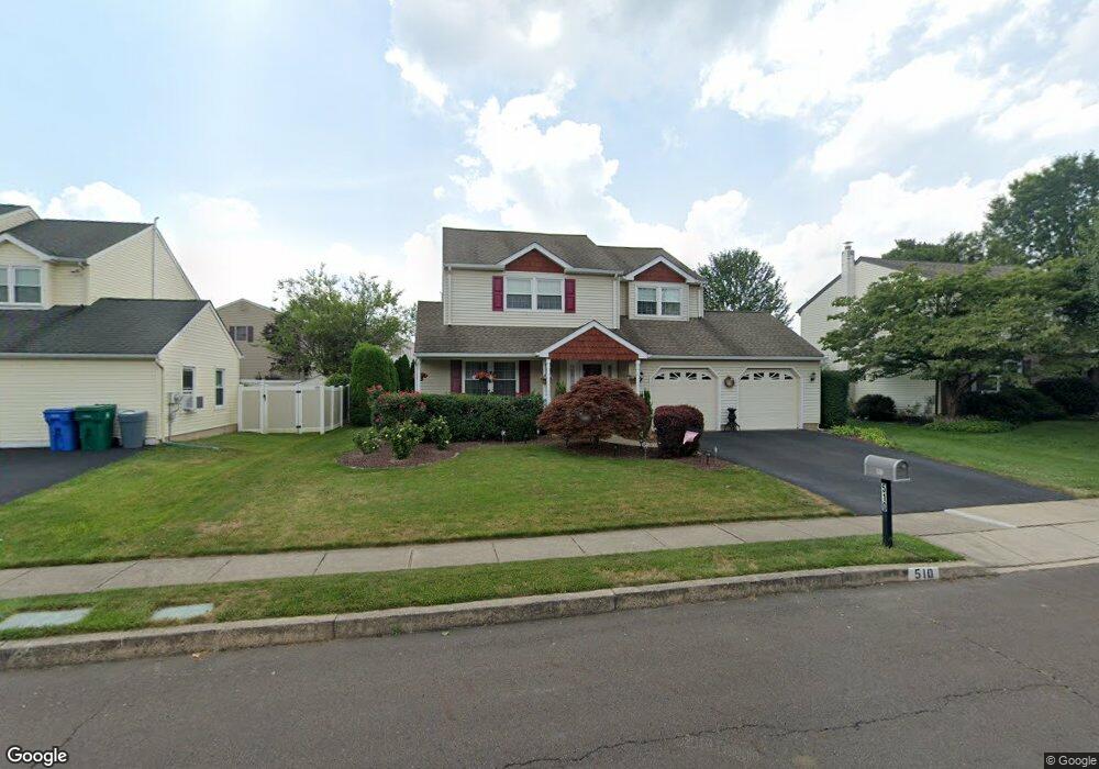
510 Stanford Rd Fairless Hills, PA 19030
Estimated Value: $490,000 - $554,000
4
Beds
3
Baths
2,194
Sq Ft
$241/Sq Ft
Est. Value
About This Home
This home is located at 510 Stanford Rd, Fairless Hills, PA 19030 and is currently estimated at $529,004, approximately $241 per square foot. 510 Stanford Rd is a home located in Bucks County with nearby schools including Truman Senior High School, Faith Baptist Christian Academy, and The Pen Ryn School.
Ownership History
Date
Name
Owned For
Owner Type
Purchase Details
Closed on
Sep 30, 1999
Sold by
Massaro Patrick A and Massaro Arlene R
Bought by
Litz William E and Litz Mary
Current Estimated Value
Home Financials for this Owner
Home Financials are based on the most recent Mortgage that was taken out on this home.
Original Mortgage
$122,000
Outstanding Balance
$36,781
Interest Rate
7.81%
Estimated Equity
$492,223
Purchase Details
Closed on
Dec 21, 1988
Bought by
Massaro Patrick A and Massaro Arlene R
Create a Home Valuation Report for This Property
The Home Valuation Report is an in-depth analysis detailing your home's value as well as a comparison with similar homes in the area
Home Values in the Area
Average Home Value in this Area
Purchase History
| Date | Buyer | Sale Price | Title Company |
|---|---|---|---|
| Litz William E | $183,540 | -- | |
| Massaro Patrick A | $162,000 | -- |
Source: Public Records
Mortgage History
| Date | Status | Borrower | Loan Amount |
|---|---|---|---|
| Open | Litz William E | $122,000 |
Source: Public Records
Tax History Compared to Growth
Tax History
| Year | Tax Paid | Tax Assessment Tax Assessment Total Assessment is a certain percentage of the fair market value that is determined by local assessors to be the total taxable value of land and additions on the property. | Land | Improvement |
|---|---|---|---|---|
| 2025 | $8,853 | $32,600 | $5,440 | $27,160 |
| 2024 | $8,853 | $32,600 | $5,440 | $27,160 |
| 2023 | $8,788 | $32,600 | $5,440 | $27,160 |
| 2022 | $8,788 | $32,600 | $5,440 | $27,160 |
| 2021 | $8,788 | $32,600 | $5,440 | $27,160 |
| 2020 | $8,788 | $32,600 | $5,440 | $27,160 |
| 2019 | $8,755 | $32,600 | $5,440 | $27,160 |
| 2018 | $8,615 | $32,600 | $5,440 | $27,160 |
| 2017 | $8,484 | $32,600 | $5,440 | $27,160 |
| 2016 | $8,484 | $32,600 | $5,440 | $27,160 |
| 2015 | $6,305 | $32,600 | $5,440 | $27,160 |
| 2014 | $6,305 | $32,600 | $5,440 | $27,160 |
Source: Public Records
Map
Nearby Homes
- 225 Yorkshire Rd Unit HIII
- 402 Stanford Rd
- 208 Suffolk Rd
- 114 Nursery Ave
- 657 S Queen Anne Dr
- 125 Nursery Ave
- 20 Trellis Rd
- 53 Crestwood Rd
- 212 Apple St
- 14 Cinnamon Rd
- 31 Quickset Rd
- 46 Quill Rd
- 10 Thistle Rd
- 47 Cotton Rd
- 23 Crystal Place
- 59 Liberty Dr
- 65 Candle Rd
- 31 Quail Rd
- 61 Liberty Dr
- 331 Doone Place
- 508 Stanford Rd
- 512 Stanford Rd
- 400 Welsford Rd
- 509 Stanford Rd
- 516 Stanford Rd
- 402 Welsford Rd
- 507 Stanford Rd
- 511 Stanford Rd
- 513 Stanford Rd
- 401 Welsford Rd
- 486 Stanford Rd
- 520 Stanford Rd
- 404 Welsford Rd
- 403 Welsford Rd
- 515 Stanford Rd
- 505 Stanford Rd
- 405 Welsford Rd
- 522 Stanford Rd
- 484 Stanford Rd
- 517 Stanford Rd