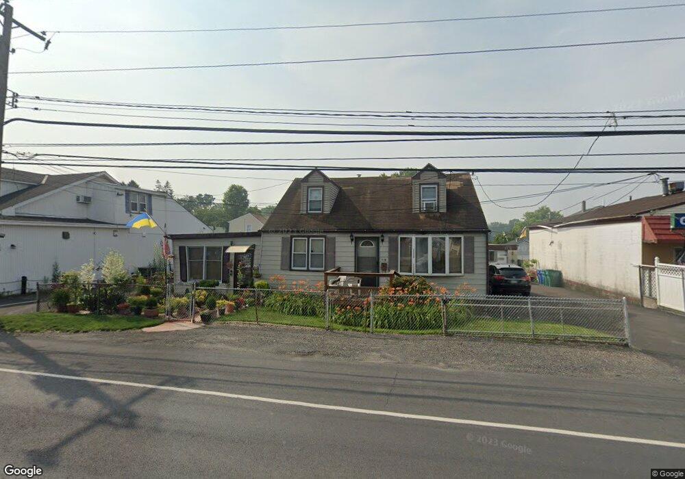
510 State Rd Croydon, PA 19021
Estimated Value: $328,000 - $488,000
5
Beds
6
Baths
1,770
Sq Ft
$240/Sq Ft
Est. Value
About This Home
This home is located at 510 State Rd, Croydon, PA 19021 and is currently estimated at $425,409, approximately $240 per square foot. 510 State Rd is a home located in Bucks County with nearby schools including Truman Senior High School, School Lane Charter School, and St Charles Borromeo School.
Ownership History
Date
Name
Owned For
Owner Type
Purchase Details
Closed on
Jul 16, 2019
Sold by
Sherwood Glenn L and Frazier Joy Karen
Bought by
510 State Road Holdings Llc
Current Estimated Value
Home Financials for this Owner
Home Financials are based on the most recent Mortgage that was taken out on this home.
Original Mortgage
$213,500
Outstanding Balance
$183,794
Interest Rate
3.82%
Mortgage Type
Commercial
Estimated Equity
$241,615
Purchase Details
Closed on
Dec 3, 1976
Sold by
Rostron Jr Lewis H
Bought by
Hackert Richard J
Create a Home Valuation Report for This Property
The Home Valuation Report is an in-depth analysis detailing your home's value as well as a comparison with similar homes in the area
Home Values in the Area
Average Home Value in this Area
Purchase History
We collect this data history from publicly available records. To have your information removed, we recommend requesting removal directly through your county’s website.
| Date | Buyer | Sale Price | Title Company |
|---|---|---|---|
| 510 State Road Holdings Llc | $285,000 | Trident Land Transfer Co Lp | |
| Hackert Richard J | $38,000 | -- |
Source: Public Records
Mortgage History
We collect this data history from publicly available records. To have your information removed, we recommend requesting removal directly through your county’s website.
| Date | Status | Borrower | Loan Amount |
|---|---|---|---|
| Open | 510 State Road Holdings Llc | $213,500 |
Source: Public Records
Tax History
| Year | Tax Paid | Tax Assessment Tax Assessment Total Assessment is a certain percentage of the fair market value that is determined by local assessors to be the total taxable value of land and additions on the property. | Land | Improvement |
|---|---|---|---|---|
| 2026 | $6,651 | $24,400 | $2,760 | $21,640 |
| 2025 | $6,626 | $24,400 | $2,760 | $21,640 |
| 2024 | $6,626 | $24,400 | $2,760 | $21,640 |
| 2023 | $6,578 | $24,400 | $2,760 | $21,640 |
| 2022 | $6,578 | $24,400 | $2,760 | $21,640 |
| 2021 | $6,578 | $24,400 | $2,760 | $21,640 |
| 2020 | $6,578 | $24,400 | $2,760 | $21,640 |
| 2019 | $6,553 | $24,400 | $2,760 | $21,640 |
| 2018 | $6,448 | $24,400 | $2,760 | $21,640 |
| 2017 | $6,350 | $24,400 | $2,760 | $21,640 |
| 2016 | $6,350 | $24,400 | $2,760 | $21,640 |
| 2015 | $4,924 | $24,400 | $2,760 | $21,640 |
| 2014 | $4,924 | $24,400 | $2,760 | $21,640 |
Source: Public Records
Map
Nearby Homes
- 829 Third Ave
- 1005 Maryland Ave
- 610 Princess Ave
- 314 Wynnewood Ave
- 310 Wynnewood Ave
- 1137 Second Ave
- 925 Excelsior Ave
- 910 Magnolia Ave
- 755 Haunted Ln
- 121 Walnut Ave
- 311 Neshaminy Rd
- 615 Neshaminy Rd
- 1306 Spencer Dr
- 0 Allen Ave
- 0 Newportville Rd Unit PABU2115306
- 806 Logan Ave
- 1402 Susan Ave
- 3933 Wrexham Ct
- 3943 Wrexham Ct
- 871 Roberts Rd
Your Personal Tour Guide
Ask me questions while you tour the home.