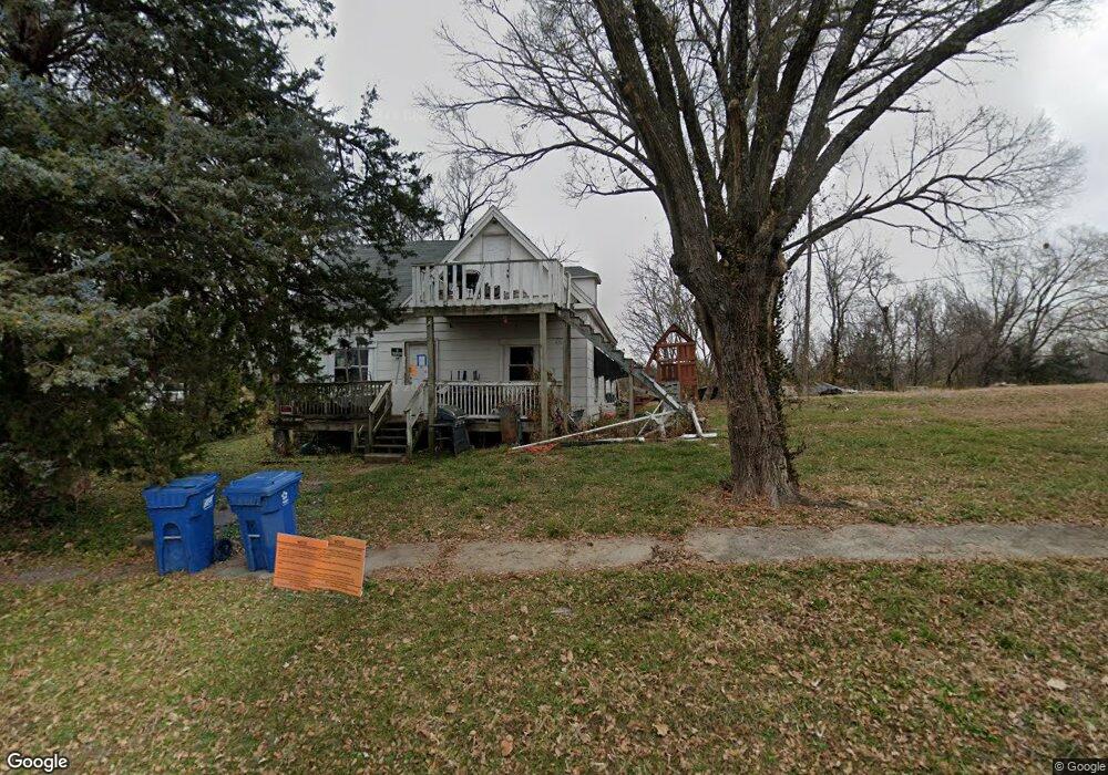
510 Summit St Excelsior Springs, MO 64024
Estimated Value: $164,105 - $188,000
3
Beds
1
Bath
2,104
Sq Ft
$84/Sq Ft
Est. Value
About This Home
This home is located at 510 Summit St, Excelsior Springs, MO 64024 and is currently estimated at $176,526, approximately $83 per square foot. 510 Summit St is a home located in Clay County with nearby schools including Excelsior Springs High School.
Ownership History
Date
Name
Owned For
Owner Type
Purchase Details
Closed on
Aug 23, 2023
Sold by
Dobbins Justin and Dobbins Elizabeth
Bought by
Loyal Housing Llc and Dobbins
Current Estimated Value
Purchase Details
Closed on
Aug 29, 2022
Sold by
Justin Dobbins
Bought by
Loyal Housing Llc
Purchase Details
Closed on
Mar 2, 2019
Sold by
Dusanek Mike and Clevenger Gary
Bought by
Dobbins Justin and Dobbins Elizabeth
Purchase Details
Closed on
Feb 28, 2001
Sold by
Bishop Michial B and Bishop Kristi L
Bought by
Dusanek Mike and Clevenger Gary
Home Financials for this Owner
Home Financials are based on the most recent Mortgage that was taken out on this home.
Original Mortgage
$57,900
Interest Rate
6.97%
Purchase Details
Closed on
Nov 19, 1998
Sold by
Mccallister Donald D and Mccallister Annabelle F
Bought by
Bishop Michial B and Bishop Kristi L
Create a Home Valuation Report for This Property
The Home Valuation Report is an in-depth analysis detailing your home's value as well as a comparison with similar homes in the area
Home Values in the Area
Average Home Value in this Area
Purchase History
| Date | Buyer | Sale Price | Title Company |
|---|---|---|---|
| Loyal Housing Llc | -- | None Listed On Document | |
| Loyal Housing Llc | -- | -- | |
| Dobbins Justin | -- | None Available | |
| Dusanek Mike | -- | -- | |
| Bishop Michial B | -- | Excelsior Abstract & Title C |
Source: Public Records
Mortgage History
| Date | Status | Borrower | Loan Amount |
|---|---|---|---|
| Previous Owner | Dusanek Mike | $57,900 |
Source: Public Records
Tax History Compared to Growth
Tax History
| Year | Tax Paid | Tax Assessment Tax Assessment Total Assessment is a certain percentage of the fair market value that is determined by local assessors to be the total taxable value of land and additions on the property. | Land | Improvement |
|---|---|---|---|---|
| 2025 | $1,046 | $17,140 | -- | -- |
| 2024 | $1,046 | $14,920 | -- | -- |
| 2023 | $1,640 | $14,920 | $0 | $0 |
| 2022 | $1,326 | $13,070 | $0 | $0 |
| 2021 | $930 | $13,072 | $1,083 | $11,989 |
| 2020 | $948 | $12,960 | $0 | $0 |
| 2019 | $948 | $12,960 | $0 | $0 |
| 2018 | $698 | $9,520 | $0 | $0 |
| 2017 | $681 | $9,520 | $1,080 | $8,440 |
| 2016 | $681 | $9,520 | $1,080 | $8,440 |
| 2015 | $687 | $9,520 | $1,080 | $8,440 |
| 2014 | $776 | $10,660 | $1,080 | $9,580 |
Source: Public Records
Map
Nearby Homes
- 106 Saratoga St
- 729 Hazel St
- 0 Park Ave
- 101 W Excelsior St
- 132 Cliff Dr
- 400 Beverly Ave
- 120 Wildwood St
- 216 Dunbar Ave
- 124 Wildwood St
- 114 Myrtle Ave
- 934 Dunbar Ave
- 932 Dunbar Ave
- 733 Magnolia Ave
- 507 N Kimball St
- 108 Berton Rd
- 904 E Golf Hill Dr
- 214 Oakwood Ave
- 916 Dunbar Ave
- 106 Northview Dr
- Lot 3 Orrick Rd