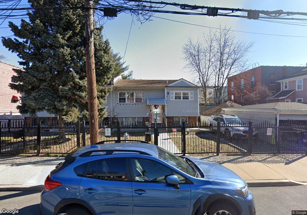
510 Taylor Ave Bronx, NY 10473
Clason Point NeighborhoodEstimated Value: $602,164 - $721,000
--
Bed
--
Bath
1,694
Sq Ft
$395/Sq Ft
Est. Value
About This Home
This home is located at 510 Taylor Ave, Bronx, NY 10473 and is currently estimated at $669,541, approximately $395 per square foot. 510 Taylor Ave is a home located in Bronx County with nearby schools including P.S. 069 Journey Prep School - X069 and Holy Cross Elementary School.
Ownership History
Date
Name
Owned For
Owner Type
Purchase Details
Closed on
Mar 16, 2004
Sold by
Marrero Almira and Morales Doris
Bought by
Marrero Elizabeth and Roman Virgilio
Current Estimated Value
Purchase Details
Closed on
Nov 19, 2002
Sold by
Torres Darita
Bought by
Morales Doris and Torres Miriam
Purchase Details
Closed on
Nov 18, 2002
Sold by
Torres Rosa Heir and Torres Victor Heir
Bought by
Torres Darita
Create a Home Valuation Report for This Property
The Home Valuation Report is an in-depth analysis detailing your home's value as well as a comparison with similar homes in the area
Home Values in the Area
Average Home Value in this Area
Purchase History
| Date | Buyer | Sale Price | Title Company |
|---|---|---|---|
| Marrero Elizabeth | $167,000 | -- | |
| Morales Doris | -- | -- | |
| Torres Darita | -- | -- |
Source: Public Records
Tax History Compared to Growth
Tax History
| Year | Tax Paid | Tax Assessment Tax Assessment Total Assessment is a certain percentage of the fair market value that is determined by local assessors to be the total taxable value of land and additions on the property. | Land | Improvement |
|---|---|---|---|---|
| 2025 | $5,145 | $28,637 | $6,814 | $21,823 |
| 2024 | $5,145 | $27,017 | $7,009 | $20,008 |
| 2023 | $4,892 | $25,488 | $7,078 | $18,410 |
| 2022 | $4,672 | $33,120 | $9,480 | $23,640 |
| 2021 | $4,925 | $28,740 | $9,480 | $19,260 |
| 2020 | $4,755 | $26,700 | $9,480 | $17,220 |
| 2019 | $4,417 | $26,340 | $9,480 | $16,860 |
| 2018 | $4,032 | $21,240 | $8,694 | $12,546 |
| 2017 | $3,920 | $20,700 | $9,480 | $11,220 |
| 2016 | $3,904 | $21,080 | $8,584 | $12,496 |
| 2015 | $2,352 | $19,887 | $7,873 | $12,014 |
| 2014 | $2,352 | $18,762 | $8,918 | $9,844 |
Source: Public Records
Map
Nearby Homes
- 532 Saint Lawrence Ave
- 517 Underhill Ave
- 533 Underhill Ave
- 1787 Randall Ave
- 511 Bolton Ave
- 410 Thieriot Ave
- 1827 Patterson Ave
- 444 Underhill Ave
- 500 Bolton Ave
- 508 Bolton Ave
- 643 Thieriot Ave
- 1903 Lacombe Ave
- 1909 Lacombe Ave
- 1904 Lacombe Ave
- 354 Thieriot Ave
- 643 Underhill Ave
- 625 Commonwealth Ave
- 428 Bolton Ave
- 1822 Seward Ave
- 1731 Lacombe Ave Unit 4A
- 514 Taylor Ave
- 1823 Lacombe Ave
- 520 Taylor Ave
- 1825 Lacombe Ave
- 1821 Lacombe Ave
- 1829 Lacombe Ave
- 522 Taylor Ave Unit 1
- 522 Taylor Ave
- 513 Thieriot Ave
- 515 Thieriot Ave
- 517 Thieriot Ave
- 1831 Lacombe Ave
- 524 Taylor Ave
- 519 Thieriot Ave
- 526 Taylor Ave
- 521 Thieriot Ave
- 1833 Lacombe Ave Unit 1
- 1833 Lacombe Ave
- 505 Thieriot Ave
- 505 Thieriot Ave Unit 2