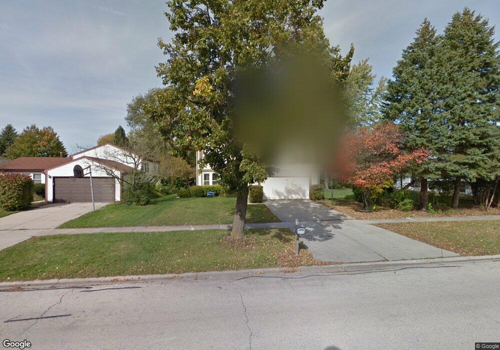
510 Thompson Blvd Buffalo Grove, IL 60089
Estimated Value: $547,000 - $575,000
--
Bed
3
Baths
2,048
Sq Ft
$273/Sq Ft
Est. Value
About This Home
This home is located at 510 Thompson Blvd, Buffalo Grove, IL 60089 and is currently estimated at $558,216, approximately $272 per square foot. 510 Thompson Blvd is a home located in Lake County with nearby schools including Prairie Elementary School, Twin Groves Middle School, and Adlai E Stevenson High School.
Ownership History
Date
Name
Owned For
Owner Type
Purchase Details
Closed on
Jul 8, 2002
Sold by
Weiss Gerri and Gerri Weiss Trust
Bought by
Park Samuel J
Current Estimated Value
Home Financials for this Owner
Home Financials are based on the most recent Mortgage that was taken out on this home.
Original Mortgage
$248,250
Outstanding Balance
$104,715
Interest Rate
6.64%
Estimated Equity
$453,501
Purchase Details
Closed on
Oct 10, 2000
Sold by
Weiss Alan and Weiss Gerri
Bought by
Weiss Gerri and Gerri Weiss Trust
Create a Home Valuation Report for This Property
The Home Valuation Report is an in-depth analysis detailing your home's value as well as a comparison with similar homes in the area
Home Values in the Area
Average Home Value in this Area
Purchase History
| Date | Buyer | Sale Price | Title Company |
|---|---|---|---|
| Park Samuel J | $331,000 | -- | |
| Weiss Gerri | -- | -- |
Source: Public Records
Mortgage History
| Date | Status | Borrower | Loan Amount |
|---|---|---|---|
| Open | Park Samuel J | $248,250 |
Source: Public Records
Tax History Compared to Growth
Tax History
| Year | Tax Paid | Tax Assessment Tax Assessment Total Assessment is a certain percentage of the fair market value that is determined by local assessors to be the total taxable value of land and additions on the property. | Land | Improvement |
|---|---|---|---|---|
| 2024 | $14,080 | $161,647 | $35,125 | $126,522 |
| 2023 | $12,967 | $145,263 | $31,565 | $113,698 |
| 2022 | $12,967 | $130,358 | $28,326 | $102,032 |
| 2021 | $12,476 | $128,953 | $28,021 | $100,932 |
| 2020 | $12,182 | $129,393 | $28,117 | $101,276 |
| 2019 | $12,014 | $128,916 | $28,013 | $100,903 |
| 2018 | $11,526 | $127,685 | $27,686 | $99,999 |
| 2017 | $11,308 | $124,705 | $27,040 | $97,665 |
| 2016 | $11,012 | $119,415 | $25,893 | $93,522 |
| 2015 | $10,719 | $111,676 | $24,215 | $87,461 |
| 2014 | $10,114 | $104,275 | $26,006 | $78,269 |
| 2012 | $10,041 | $104,484 | $26,058 | $78,426 |
Source: Public Records
Map
Nearby Homes
- 531 Lasalle Ln
- 538 Lasalle Ct
- 327 Lasalle Ln
- 1286 Gail Dr
- 1118 Larraway Dr
- 1265 Devonshire Rd
- 555 Coventry Ln
- 1113 Lockwood Dr
- 896 Chaucer Way Unit 2
- 1903 Sheridan Rd
- 1141 Devonshire Rd
- 1901 Brandywyn Ln
- 1272 Sandhurst Dr
- 15 Thompson Ct
- 931 Shady Grove Ln
- 938 Hidden Lake Dr
- 1265 Ranchview Ct
- 268 Hoffmann Dr
- 871 Shady Grove Ln
- 1012 Hobson Dr
- 520 Thompson Blvd
- 501 Caren Dr
- 507 Caren Dr
- 530 Thompson Blvd
- 525 Caren Dr
- 512 Ronnie Dr
- 540 Thompson Blvd
- 549 Caren Dr
- 460 Thompson Blvd
- 550 Thompson Blvd
- 508 Ronnie Dr
- 561 Caren Dr
- 453 Caren Dr
- 513 Ronnie Dr
- 508 Caren Dr
- 504 Ronnie Dr
- 450 Thompson Blvd
- 456 Caren Dr Unit 3
- 532 Caren Dr
- 524 Caren Dr