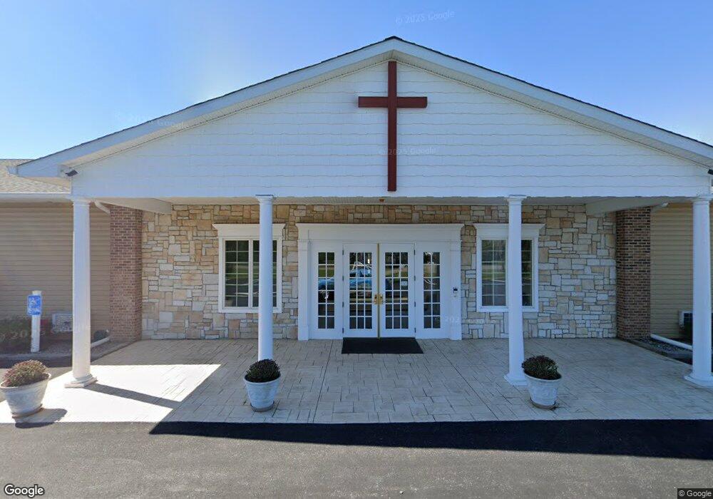
510 Thompson Creek Rd Stevensville, MD 21666
Estimated Value: $3,128,636
--
Bed
--
Bath
12,176
Sq Ft
$257/Sq Ft
Est. Value
About This Home
This home is located at 510 Thompson Creek Rd, Stevensville, MD 21666 and is currently estimated at $3,128,636, approximately $256 per square foot. 510 Thompson Creek Rd is a home located in Queen Anne's County with nearby schools including Kent Island Elementary School, Bayside Elementary School, and Matapeake Middle School.
Ownership History
Date
Name
Owned For
Owner Type
Purchase Details
Closed on
Oct 2, 1997
Sold by
Alvin R Maier Family Real Estate
Bought by
Island Alliance Church Inc
Current Estimated Value
Purchase Details
Closed on
Jan 9, 1990
Sold by
E J H Properties, Inc
Bought by
Alvin R Maier Family Real Estate
Home Financials for this Owner
Home Financials are based on the most recent Mortgage that was taken out on this home.
Original Mortgage
$1,300,000
Interest Rate
9.83%
Purchase Details
Closed on
Nov 15, 1984
Sold by
Ritchey Joseph F
Bought by
E J H Properties, Inc
Home Financials for this Owner
Home Financials are based on the most recent Mortgage that was taken out on this home.
Original Mortgage
$375,000
Interest Rate
13.74%
Create a Home Valuation Report for This Property
The Home Valuation Report is an in-depth analysis detailing your home's value as well as a comparison with similar homes in the area
Home Values in the Area
Average Home Value in this Area
Purchase History
| Date | Buyer | Sale Price | Title Company |
|---|---|---|---|
| Island Alliance Church Inc | $850,000 | -- | |
| Alvin R Maier Family Real Estate | $1,600,000 | -- | |
| E J H Properties, Inc | $180,000 | -- |
Source: Public Records
Mortgage History
| Date | Status | Borrower | Loan Amount |
|---|---|---|---|
| Previous Owner | Alvin R Maier Family Real Estate | $1,300,000 | |
| Previous Owner | E J H Properties, Inc | $375,000 |
Source: Public Records
Tax History Compared to Growth
Tax History
| Year | Tax Paid | Tax Assessment Tax Assessment Total Assessment is a certain percentage of the fair market value that is determined by local assessors to be the total taxable value of land and additions on the property. | Land | Improvement |
|---|---|---|---|---|
| 2025 | -- | $1,503,267 | $0 | $0 |
| 2024 | -- | $1,454,033 | $0 | $0 |
| 2023 | $0 | $1,404,800 | $350,000 | $1,054,800 |
| 2022 | $0 | $1,302,000 | $0 | $0 |
| 2021 | $0 | $1,199,200 | $0 | $0 |
| 2020 | $0 | $1,096,400 | $437,500 | $658,900 |
| 2019 | $10,516 | $1,096,400 | $437,500 | $658,900 |
| 2018 | $10,516 | $1,096,400 | $437,500 | $658,900 |
| 2017 | $11,541 | $1,197,200 | $0 | $0 |
| 2016 | -- | $1,155,567 | $0 | $0 |
| 2015 | -- | $1,113,933 | $0 | $0 |
| 2014 | -- | $1,072,300 | $0 | $0 |
Source: Public Records
Map
Nearby Homes
- 1 UNIT 2 Compass Cir
- 122 E Main St
- 241 Jessica Lyn Ave
- 111 Keenan Way
- 119 Keenan Way
- 515 Love Point Rd
- 1839 Harbor Dr
- 858 Moorings Cir Unit 11
- 102 Bobbitt Ct
- 1757 Harbor Dr
- 619 Love Point Rd
- 736 Moorings Cir Unit 35
- 349 Topside Dr
- 1870 Harbor Dr
- 298 Moorings Cir
- 312 Topside Dr Unit 223
- 1906 Harbor Dr
- 0 Harbor Dr
- 1916 Stevens Dr
- 0 Sunset Wharf Lot D-1 Unit MDQA2010276
- 2020 Marion Quimby Dr
- 1111 Butterworth Ct
- 1009 Butterworth Ct
- 1007 Butterworth Ct
- 1109 Butterworth Ct Unit D-5
- 1109 Butterworth Ct
- 1005 Butterworth Ct Unit C3
- 1005 Butterworth Ct
- 1107 Butterworth Ct
- 1003 Butterworth Ct Unit C-2
- 1001 Butterworth Ct Unit C-1
- 1001 Butterworth Ct
- 1101 Butterworth Ct
- 1323 Butterworth Ct Unit F-5
- 1323 Butterworth Ct
- 1006101 Marion Quimby
- 1008201 Marion Quimby
- 117 Mainsail Dr
- 1307 Butterworth Ct
- 212 Thompson Creek Mall