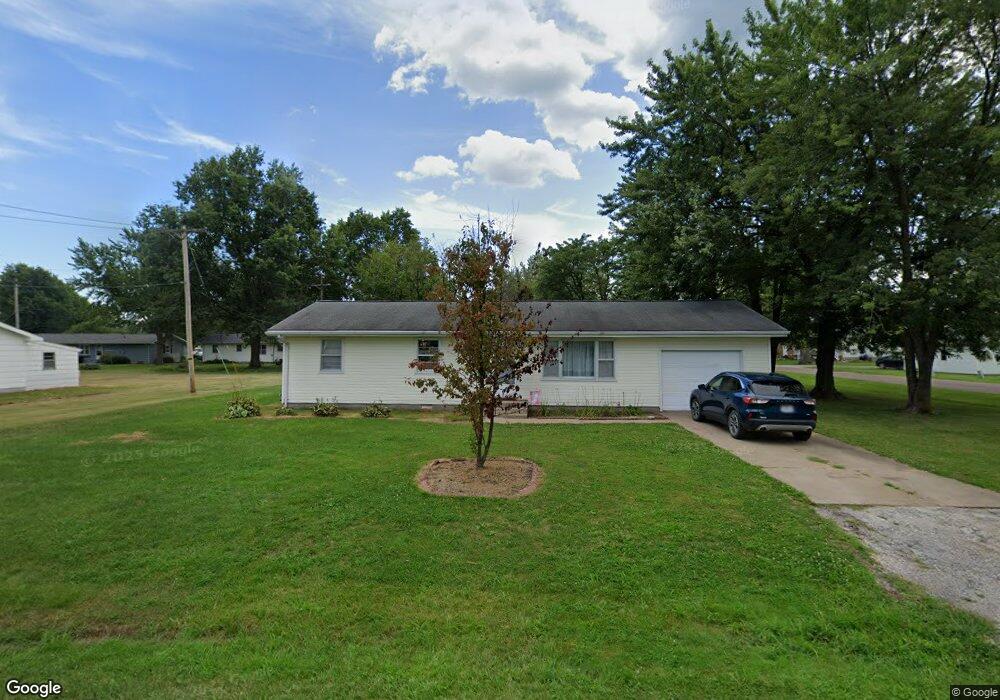
510 W Daniels Ave Vandalia, MO 63382
Estimated Value: $89,354 - $138,000
--
Bed
--
Bath
1,008
Sq Ft
$119/Sq Ft
Est. Value
About This Home
This home is located at 510 W Daniels Ave, Vandalia, MO 63382 and is currently estimated at $120,339, approximately $119 per square foot. 510 W Daniels Ave is a home located in Audrain County with nearby schools including Van-Far Elementary School and Van-Far Junior/Senior High School.
Ownership History
Date
Name
Owned For
Owner Type
Purchase Details
Closed on
May 15, 2024
Sold by
Hopke Alex J
Bought by
Jjb Rentals Llc
Current Estimated Value
Purchase Details
Closed on
Oct 31, 2022
Sold by
Wallace Dana R
Bought by
Hopke Alex J
Home Financials for this Owner
Home Financials are based on the most recent Mortgage that was taken out on this home.
Original Mortgage
$68,732
Interest Rate
6.9%
Mortgage Type
Construction
Purchase Details
Closed on
Feb 1, 2008
Bought by
Wallace Franklin E and Wallace Dana R
Create a Home Valuation Report for This Property
The Home Valuation Report is an in-depth analysis detailing your home's value as well as a comparison with similar homes in the area
Home Values in the Area
Average Home Value in this Area
Purchase History
| Date | Buyer | Sale Price | Title Company |
|---|---|---|---|
| Jjb Rentals Llc | -- | -- | |
| Jjb Rentals Llc | -- | None Listed On Document | |
| Hopke Alex J | $69,419 | Other | |
| Wallace Franklin E | $34,000 | -- |
Source: Public Records
Mortgage History
| Date | Status | Borrower | Loan Amount |
|---|---|---|---|
| Previous Owner | Hopke Alex J | $68,732 |
Source: Public Records
Tax History Compared to Growth
Tax History
| Year | Tax Paid | Tax Assessment Tax Assessment Total Assessment is a certain percentage of the fair market value that is determined by local assessors to be the total taxable value of land and additions on the property. | Land | Improvement |
|---|---|---|---|---|
| 2024 | $708 | $9,260 | $1,520 | $7,740 |
| 2023 | $699 | $9,260 | $1,520 | $7,740 |
| 2022 | $716 | $9,260 | $1,520 | $7,740 |
| 2021 | $699 | $9,260 | $1,520 | $7,740 |
| 2020 | $695 | $9,260 | $1,520 | $7,740 |
| 2019 | $694 | $9,260 | $1,520 | $7,740 |
| 2018 | $584 | $0 | $0 | $0 |
| 2017 | $642 | $0 | $0 | $0 |
| 2012 | $644 | $9,250 | $0 | $0 |
Source: Public Records
Map
Nearby Homes
- 1106 N Oak St
- 203 E Arlington Ave
- 514 W Us Highway 54
- 0 U S 54
- 314 N Clark St
- 401 E Washington St
- 102 N Clark St
- 102 Birchtree Dr
- 114 W Union St
- 405 W Bland St
- 518 S Highland St
- 00 State Route V
- 3511 Audrain Road 581
- 00 Highway V
- 20305 Highway M
- 234052 Highway M
- 36950 Highway K
- 14144 Highway E
- 3 Muldrow Trail
- 81 Acre Audrain 695
- 508 W Daniels Ave
- 511 W Arlington Ave
- 509 W Arlington Ave
- 1100 N Oak St
- 1005 N Oak St
- 1003 Carr Ln
- 506 W Daniels Ave
- 1001 N Oak St
- 505 W Arlington Ave
- 1005 Carr Ln
- 1101 N Oak St
- 914 N Oak St
- 404 W Daniels Ave
- 510 W Arlington Ave
- 913 N Oak St
- 501 W Arlington Ave
- 413 W Daniels Ave
- 508 W Arlington Ave
- 1004 Carr Ln
- 402 W Daniels Ave