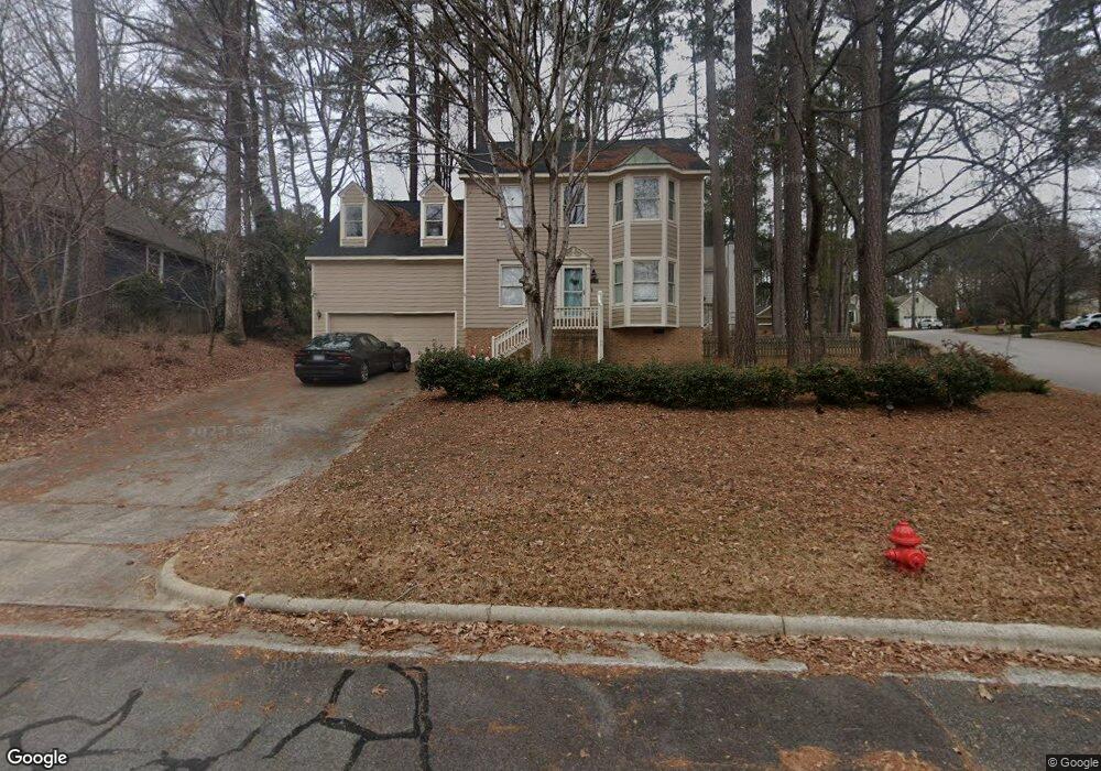
5100 Brookstone Dr Durham, NC 27713
Woodcroft NeighborhoodEstimated Value: $507,000 - $585,000
4
Beds
3
Baths
2,510
Sq Ft
$213/Sq Ft
Est. Value
About This Home
This home is located at 5100 Brookstone Dr, Durham, NC 27713 and is currently estimated at $534,478, approximately $212 per square foot. 5100 Brookstone Dr is a home located in Durham County with nearby schools including Southwest Elementary School, Morehead Montessori, and Sherwood Githens Middle.
Ownership History
Date
Name
Owned For
Owner Type
Purchase Details
Closed on
Aug 16, 2019
Sold by
Taylor Wayne N and Taylor Cassandra S
Bought by
Lumsden Kendell L
Current Estimated Value
Home Financials for this Owner
Home Financials are based on the most recent Mortgage that was taken out on this home.
Original Mortgage
$230,000
Outstanding Balance
$201,437
Interest Rate
3.7%
Mortgage Type
New Conventional
Estimated Equity
$333,041
Create a Home Valuation Report for This Property
The Home Valuation Report is an in-depth analysis detailing your home's value as well as a comparison with similar homes in the area
Home Values in the Area
Average Home Value in this Area
Purchase History
| Date | Buyer | Sale Price | Title Company |
|---|---|---|---|
| Lumsden Kendell L | $300,000 | None Available |
Source: Public Records
Mortgage History
| Date | Status | Borrower | Loan Amount |
|---|---|---|---|
| Open | Lumsden Kendell L | $230,000 |
Source: Public Records
Tax History
| Year | Tax Paid | Tax Assessment Tax Assessment Total Assessment is a certain percentage of the fair market value that is determined by local assessors to be the total taxable value of land and additions on the property. | Land | Improvement |
|---|---|---|---|---|
| 2025 | $4,919 | $496,170 | $137,500 | $358,670 |
| 2024 | $4,091 | $293,303 | $56,250 | $237,053 |
| 2023 | $3,842 | $293,303 | $56,250 | $237,053 |
| 2022 | $3,754 | $293,303 | $56,250 | $237,053 |
| 2021 | $3,736 | $293,303 | $56,250 | $237,053 |
| 2020 | $3,648 | $293,303 | $56,250 | $237,053 |
| 2019 | $3,648 | $293,303 | $56,250 | $237,053 |
| 2018 | $3,449 | $254,277 | $43,750 | $210,527 |
| 2017 | $3,424 | $254,277 | $43,750 | $210,527 |
| 2016 | $3,308 | $254,277 | $43,750 | $210,527 |
| 2015 | $3,392 | $245,009 | $44,415 | $200,594 |
| 2014 | $3,392 | $245,009 | $44,415 | $200,594 |
Source: Public Records
Map
Nearby Homes
- 5219 Oakbrook Dr
- 4908 Victoria Dr
- 3805 Chimney Ridge Place Unit 104
- 3706 Chimney Ridge Place Unit 8
- 4000 Kettering Dr
- 135 Long Shadow Place
- 10 Hickorywood Square
- 12 Citation Dr
- 4 Applewood Square
- 527 Woodwinds Dr
- 64 Citation Dr
- 708 Sleepy Creek Dr
- 54 Willow Bridge Dr
- 5500 Fortunes Ridge Dr Unit 80b
- 5500 Fortunes Ridge Dr Unit 89B
- 18 W Bridlewood Trail
- 4907 Fortunes Ridge Dr
- 4 Barkridge Ct
- 200 W Woodcroft Pkwy Unit 60c
- 200 W Woodcroft Pkwy Unit 53b
- 5102 Brookstone Dr
- 5109 Longwood Dr
- 5111 Longwood Dr
- 5105 Pinebrook Dr
- 5101 Brookstone Dr
- 5104 Brookstone Dr
- 5113 Longwood Dr
- 5103 Pinebrook Dr
- 5107 Pinebrook Dr
- 5103 Brookstone Dr
- 5101 Pinebrook Dr
- 5201 Longwood Dr
- 5106 Brookstone Dr
- 5110 Longwood Dr
- 5105 Brookstone Dr
- 5112 Longwood Dr
- 5202 Oakbrook Dr
- 5108 Longwood Dr
- 5120 Oakbrook Dr
- 5118 Oakbrook Dr
Your Personal Tour Guide
Ask me questions while you tour the home.