5100 Klotz Rd Mascoutah, IL 62258
Estimated Value: $204,000 - $692,111
--
Bed
--
Bath
1,520
Sq Ft
$305/Sq Ft
Est. Value
About This Home
This home is located at 5100 Klotz Rd, Mascoutah, IL 62258 and is currently estimated at $464,037, approximately $305 per square foot. 5100 Klotz Rd is a home located in St. Clair County with nearby schools including Freeburg Elementary School and Freeburg Community High School.
Ownership History
Date
Name
Owned For
Owner Type
Purchase Details
Closed on
Oct 18, 2017
Sold by
Klotz Susan W and Klotz David J
Bought by
Klotz David J and Klotz Susan W
Current Estimated Value
Purchase Details
Closed on
Apr 29, 2011
Sold by
Klotz Elizabeth C
Bought by
Klotz Susan W
Purchase Details
Closed on
Apr 15, 2011
Sold by
Klotz David J and Klotz Susan W
Bought by
Klotz Susan W
Purchase Details
Closed on
Jan 9, 2007
Sold by
Klotz Elizabeth C
Bought by
Klotz David J
Create a Home Valuation Report for This Property
The Home Valuation Report is an in-depth analysis detailing your home's value as well as a comparison with similar homes in the area
Home Values in the Area
Average Home Value in this Area
Purchase History
| Date | Buyer | Sale Price | Title Company |
|---|---|---|---|
| Klotz David J | -- | Attorney | |
| Klotz Susan W | -- | None Available | |
| Klotz Susan W | -- | None Available | |
| Klotz David J | -- | None Available |
Source: Public Records
Tax History Compared to Growth
Tax History
| Year | Tax Paid | Tax Assessment Tax Assessment Total Assessment is a certain percentage of the fair market value that is determined by local assessors to be the total taxable value of land and additions on the property. | Land | Improvement |
|---|---|---|---|---|
| 2024 | $12,044 | $152,682 | $65,989 | $86,693 |
| 2023 | $11,224 | $140,503 | $58,118 | $82,385 |
| 2022 | $10,639 | $130,379 | $52,753 | $77,626 |
| 2021 | $10,170 | $121,361 | $47,882 | $73,479 |
| 2020 | $9,511 | $110,868 | $43,407 | $67,461 |
| 2019 | $9,089 | $107,841 | $38,495 | $69,346 |
| 2018 | $8,448 | $103,485 | $34,962 | $68,523 |
| 2017 | $8,036 | $97,542 | $31,714 | $65,828 |
| 2016 | $7,851 | $92,147 | $28,762 | $63,385 |
| 2014 | $6,705 | $87,349 | $24,293 | $63,056 |
| 2013 | $4,485 | $84,725 | $22,173 | $62,552 |
Source: Public Records
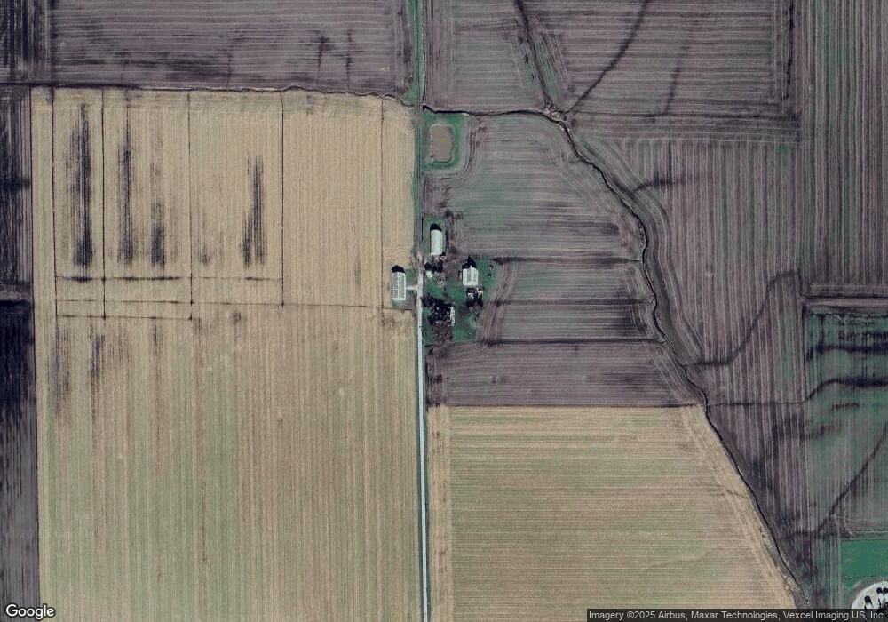
Map
Nearby Homes
- 5276 State Route 4
- 2304 N 1st St
- 0 Five Forks Rd
- 2309 S 6th St
- 2221 Pulliam Ave
- 2109 S 3rd St
- 2201 Illinois Ave
- tbb Illinois 15
- 109 Willow Dr
- 111 Willow Dr
- 0 Hickory Dr
- 103 Draco Dr
- 3 Park St
- 10971 Platinum Ln
- 5929 Highbanks Rd
- 106 S Vine St
- 6450 Timber Lane Dr
- 207 N Edison St
- 401 N Edison St
- 520 N Edison St
- 9515 Karch Rd
- 9401 Drum Hill Rd
- 5163 Pleasant Ridge School Rd
- 9209 Drum Hill Rd
- 9405 Drum Hill Rd
- 5364 Pleasant Ridge School Rd
- 5250 Pleasant Ridge School Rd
- 5167 Pleasant Ridge School Rd
- 5221 Pleasant Ridge School Rd
- 9533 Drum Hill Rd
- 9039 Karch Rd
- 5401 Brickyard Rd
- 5440 Brickyard Rd
- 4660 State Route 15
- 5114 Shain Ln