5100 Leesville Rd Durham, NC 27703
Eastern Durham NeighborhoodEstimated Value: $350,000 - $460,000
3
Beds
1
Bath
1,800
Sq Ft
$223/Sq Ft
Est. Value
About This Home
This home is located at 5100 Leesville Rd, Durham, NC 27703 and is currently estimated at $400,919, approximately $222 per square foot. 5100 Leesville Rd is a home located in Durham County with nearby schools including Spring Valley Elementary School, John W Neal Middle School, and Southern School of Energy & Sustainability.
Ownership History
Date
Name
Owned For
Owner Type
Purchase Details
Closed on
Jan 15, 2025
Sold by
Lee Trina M and Pendergraph Trina M
Bought by
Pendergraph Trina M
Current Estimated Value
Purchase Details
Closed on
Dec 5, 2011
Sold by
The Estate Of Gwendolyn Sue Wood Thrower and Thrower Tracie S
Bought by
Knight Douglas and Ray George W
Create a Home Valuation Report for This Property
The Home Valuation Report is an in-depth analysis detailing your home's value as well as a comparison with similar homes in the area
Home Values in the Area
Average Home Value in this Area
Purchase History
| Date | Buyer | Sale Price | Title Company |
|---|---|---|---|
| Pendergraph Trina M | -- | None Listed On Document | |
| Pendergraph Trina M | -- | None Listed On Document | |
| Pendergraph Trina M | -- | None Listed On Document | |
| Knight Douglas | $23,000 | None Available |
Source: Public Records
Tax History
| Year | Tax Paid | Tax Assessment Tax Assessment Total Assessment is a certain percentage of the fair market value that is determined by local assessors to be the total taxable value of land and additions on the property. | Land | Improvement |
|---|---|---|---|---|
| 2025 | $2,286 | $315,325 | $145,250 | $170,075 |
| 2024 | $1,745 | $161,004 | $74,350 | $86,654 |
| 2023 | $1,678 | $161,004 | $74,350 | $86,654 |
| 2022 | $1,625 | $161,004 | $74,350 | $86,654 |
| 2021 | $1,412 | $161,004 | $74,350 | $86,654 |
| 2020 | $1,380 | $161,004 | $74,350 | $86,654 |
| 2019 | $1,364 | $161,004 | $74,350 | $86,654 |
| 2018 | $1,058 | $114,578 | $49,740 | $64,838 |
| 2017 | $1,023 | $114,578 | $49,740 | $64,838 |
| 2016 | $992 | $114,578 | $49,740 | $64,838 |
| 2015 | $617 | $51,734 | $30,146 | $21,588 |
| 2014 | $619 | $51,734 | $30,146 | $21,588 |
Source: Public Records
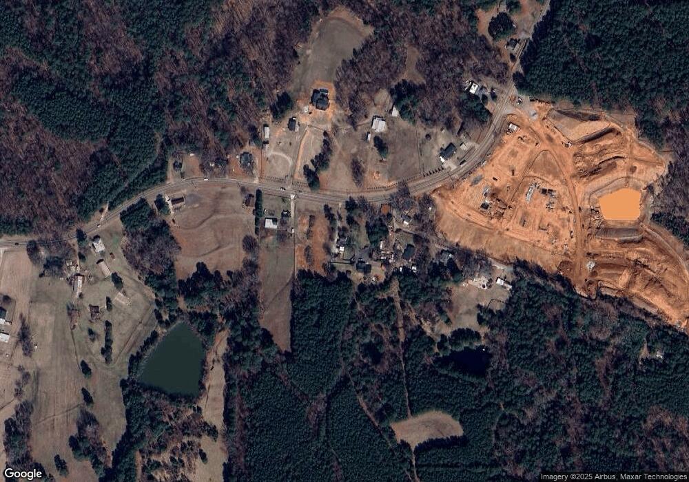
Map
Nearby Homes
- 203 Tuttle Rd
- 1136 Salford Ct
- 1128 Salford Ct
- 1132 Salford Ct
- 702 Blackpool Dr
- 1116 Salford Ct
- 712 Blackpool Dr
- 704 Blackpool Dr
- 121 Tee Pee Trail
- 2000 Grimsby Ct
- SINGLE FAMILY | Capri Plan at The Courtyards at Oak Grove - Single Family Homes
- TOWNHOME | Cambridge Plan at The Courtyards at Oak Grove - Townhomes
- SINGLE FAMILY | Palazzo Plan at The Courtyards at Oak Grove - Single Family Homes
- CARRIAGE | Cambridge Plan at The Courtyards at Oak Grove - Single Family Homes
- CARRIAGE | Gladstone Plan at The Courtyards at Oak Grove - Single Family Homes
- TOWNHOME | Oxford Plan at The Courtyards at Oak Grove - Townhomes
- SINGLE FAMILY | Promenade Plan at The Courtyards at Oak Grove - Single Family Homes
- SINGLE FAMILY | Portico Plan at The Courtyards at Oak Grove - Single Family Homes
- SINGLE FAMILY | Torino Plan at The Courtyards at Oak Grove - Single Family Homes
- SINGLE FAMILY | Verona Plan at The Courtyards at Oak Grove - Single Family Homes
- 5104 Leesville Rd
- 5106 Leesville Rd
- 5106 Leesville Rd
- 5126 Leesville Rd
- 5012 Leesville Rd
- 5114 Leesville Rd
- 5101 Leesville Rd
- 5009 Leesville Rd
- 5009 Leesville Rd Unit 2
- 5003 Leesville Rd
- 5121 Leesville Rd
- 4923 Leesville Rd
- 5116 Leesville Rd
- 5202 Leesville Rd
- 5203 Leesville Rd
- 4912 Leesville Rd
- 4915 Leesville Rd
- 5211 Leesville Rd
- 4902 Leesville Rd
- 5221 Leesville Rd
Your Personal Tour Guide
Ask me questions while you tour the home.