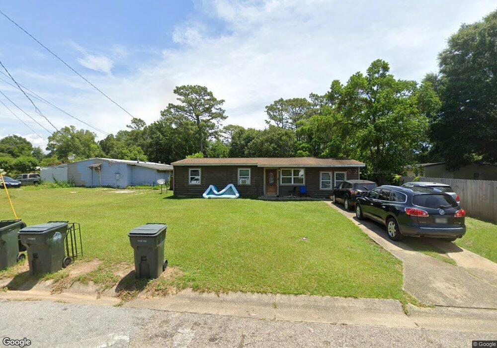
5100 Saratoga Ave Pensacola, FL 32505
Estimated Value: $136,551 - $161,000
4
Beds
1
Bath
1,152
Sq Ft
$126/Sq Ft
Est. Value
About This Home
This home is located at 5100 Saratoga Ave, Pensacola, FL 32505 and is currently estimated at $145,388, approximately $126 per square foot. 5100 Saratoga Ave is a home located in Escambia County with nearby schools including Montclair Elementary School, Bellview Middle School, and Pensacola High School.
Ownership History
Date
Name
Owned For
Owner Type
Purchase Details
Closed on
Mar 1, 2023
Sold by
Hall Victoria Le
Bought by
Hall Jacob Aaron and Hall Victoria Le
Current Estimated Value
Purchase Details
Closed on
Sep 21, 2011
Sold by
Heihs James Eugene
Bought by
Le Partridge Victoria
Purchase Details
Closed on
Jun 11, 1998
Sold by
Heihs Donald E and Heihs Donald Eugene
Bought by
Heihs James E
Purchase Details
Closed on
Oct 28, 1996
Sold by
Heihs Donald E and Heihs Donald Eugene
Bought by
Heihs Donald E
Purchase Details
Closed on
Oct 18, 1995
Sold by
Ward Sheila
Bought by
Heihs Donald E and Heihs Lucy M
Create a Home Valuation Report for This Property
The Home Valuation Report is an in-depth analysis detailing your home's value as well as a comparison with similar homes in the area
Home Values in the Area
Average Home Value in this Area
Purchase History
| Date | Buyer | Sale Price | Title Company |
|---|---|---|---|
| Hall Jacob Aaron | $100 | -- | |
| Le Partridge Victoria | -- | None Available | |
| Heihs James E | -- | -- | |
| Heihs Donald E | -- | -- | |
| Heihs Donald E | $31,000 | -- |
Source: Public Records
Tax History Compared to Growth
Tax History
| Year | Tax Paid | Tax Assessment Tax Assessment Total Assessment is a certain percentage of the fair market value that is determined by local assessors to be the total taxable value of land and additions on the property. | Land | Improvement |
|---|---|---|---|---|
| 2024 | $1,390 | $106,416 | $20,000 | $86,416 |
| 2023 | $1,390 | $91,291 | $0 | $0 |
| 2022 | $1,237 | $82,992 | $10,000 | $72,992 |
| 2021 | $262 | $34,836 | $0 | $0 |
| 2020 | $253 | $34,356 | $0 | $0 |
| 2019 | $243 | $33,584 | $0 | $0 |
| 2018 | $237 | $32,958 | $0 | $0 |
| 2017 | $230 | $32,281 | $0 | $0 |
| 2016 | $222 | $31,618 | $0 | $0 |
| 2015 | $195 | $31,399 | $0 | $0 |
| 2014 | $177 | $31,150 | $0 | $0 |
Source: Public Records
Map
Nearby Homes
- 809 Fremont Ave
- 800 Montclair Rd
- 812 Montclair Rd
- 718 Montclair Rd
- 810 Lucerne Ave
- 5102 Cranston Ave
- 5100 Cranston Ave
- 914 Lucerne Ave
- 4517 Monpellier Dr
- 4494 Landes Dr
- 5508 Glass Dr
- 913 Belair Rd
- 4514 Florelle Way
- 4425 Deauville Way
- 4505 Ellysee Way
- 708 Massachusetts Ave
- 918 Belair Rd
- 928 W Michigan Ave
- 616 Massachusetts Ave
- 4404 Ellysee Way
- 5102 Saratoga Ave
- 806 Fremont Ave
- 1 Saratoga Ct
- 0 Saratoga Ct
- 5101 Saratoga Ave
- 804 Fremont Ave
- 904 Fremont Ave
- 5103 Saratoga Ave
- 5104 Saratoga Ave
- 2 Saratoga Ct
- 901 Medford Ave
- 807 Fremont Ave
- 901 Fremont Ave
- 4 Saratoga Ct
- 906 Fremont Ave
- 805 Fremont Ave
- 903 Fremont Ave
- 907 Medford Ave
- 3 Saratoga Ct
- 902 Medford Ave