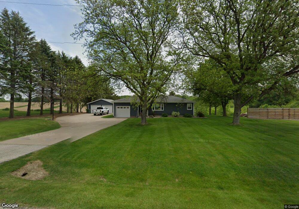
5101 221st St N Port Byron, IL 61275
Estimated Value: $266,000 - $314,000
--
Bed
--
Bath
1,218
Sq Ft
$243/Sq Ft
Est. Value
About This Home
This home is located at 5101 221st St N, Port Byron, IL 61275 and is currently estimated at $296,581, approximately $243 per square foot. 5101 221st St N is a home located in Rock Island County with nearby schools including Riverdale Elementary School, Riverdale Middle School, and Riverdale Senior High School.
Ownership History
Date
Name
Owned For
Owner Type
Purchase Details
Closed on
Nov 21, 2024
Sold by
Mabeus Scott L and Mabeus Nicole L
Bought by
Stickler John W
Current Estimated Value
Home Financials for this Owner
Home Financials are based on the most recent Mortgage that was taken out on this home.
Original Mortgage
$294,999
Outstanding Balance
$292,333
Interest Rate
6.63%
Mortgage Type
VA
Estimated Equity
$4,248
Create a Home Valuation Report for This Property
The Home Valuation Report is an in-depth analysis detailing your home's value as well as a comparison with similar homes in the area
Home Values in the Area
Average Home Value in this Area
Purchase History
| Date | Buyer | Sale Price | Title Company |
|---|---|---|---|
| Stickler John W | $295,000 | None Listed On Document |
Source: Public Records
Mortgage History
| Date | Status | Borrower | Loan Amount |
|---|---|---|---|
| Open | Stickler John W | $294,999 |
Source: Public Records
Tax History Compared to Growth
Tax History
| Year | Tax Paid | Tax Assessment Tax Assessment Total Assessment is a certain percentage of the fair market value that is determined by local assessors to be the total taxable value of land and additions on the property. | Land | Improvement |
|---|---|---|---|---|
| 2024 | $3,965 | $62,601 | $15,466 | $47,135 |
| 2023 | $3,965 | $57,432 | $14,189 | $43,243 |
| 2022 | $3,462 | $54,181 | $13,386 | $40,795 |
| 2021 | $3,373 | $51,356 | $12,688 | $38,668 |
| 2020 | $3,320 | $50,597 | $12,500 | $38,097 |
| 2019 | $3,338 | $50,597 | $12,500 | $38,097 |
| 2018 | $2,933 | $45,873 | $9,096 | $36,777 |
| 2017 | $2,886 | $45,873 | $9,096 | $36,777 |
| 2016 | $2,850 | $45,239 | $8,970 | $36,269 |
| 2015 | $2,683 | $42,559 | $8,438 | $34,121 |
| 2014 | -- | $40,922 | $8,113 | $32,809 |
| 2013 | -- | $40,922 | $8,113 | $32,809 |
Source: Public Records
Map
Nearby Homes
- 5216 227th Street Ct N
- 5122 230th St N
- 1001 9th
- Lot 5 52nd Ave N
- 16 Eagle Pointe Pass
- 15 Eagle Pointe Pass
- Lot 23 Scenic Hill
- 4022 229th Street Cir N
- 316 12th St
- 3808 229th Street Cir N
- 4014 229th Street Cir N
- 4001 229th Street Cir N
- 1303 8th Ave
- 4008 229th Street Cir N
- 3929 229th Street Cir N
- 3829 229th Street Cir N
- 805 14th
- 3901 229th Street Cir N
- 3917 229th Street Cir N
- 809 14th
- 0 221st St N
- 22025 52nd Ave N
- 21909 52nd Ave N
- 5419 221st St N
- 21700 52nd Ave N
- 4713 221st St N
- 4718 221st St N
- 5206 227th Street Ct N
- 5521 221st St N
- 21620 52nd Ave N
- 5207 227th Street Ct N
- 5607 221st St N
- 5228 227th Street Ct N
- 5215 227th Street Ct N
- 5625 221st St N
- 21713 52nd Ave N
- 22120 57th Ave N
- 5608 221st St N
- 22302 57th Ave N
- 22212 57th Ave N