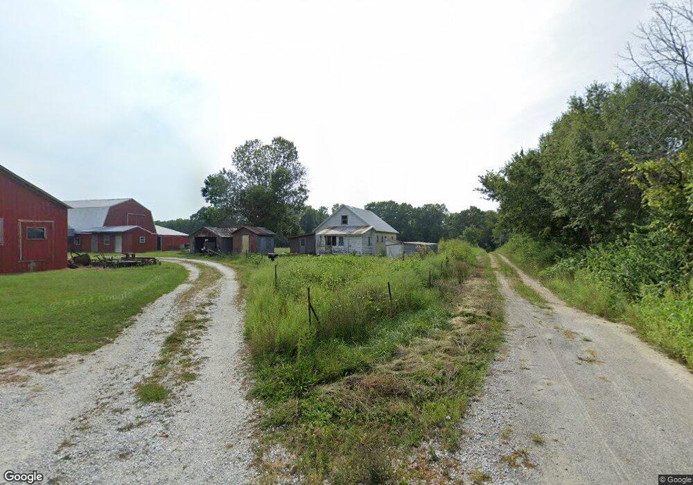
5101 N 550th Rd Colchester, IL 62326
Estimated Value: $43,000 - $93,000
2
Beds
1
Bath
950
Sq Ft
$75/Sq Ft
Est. Value
About This Home
This home is located at 5101 N 550th Rd, Colchester, IL 62326 and is currently estimated at $71,493, approximately $75 per square foot. 5101 N 550th Rd is a home located in McDonough County with nearby schools including West Prairie High School.
Ownership History
Date
Name
Owned For
Owner Type
Purchase Details
Closed on
Dec 26, 2018
Sold by
Borntrager Levi and Borntrager Edna
Bought by
Raber Jonas P and Raber Vera L
Current Estimated Value
Home Financials for this Owner
Home Financials are based on the most recent Mortgage that was taken out on this home.
Original Mortgage
$40,000
Outstanding Balance
$36,970
Interest Rate
4.12%
Mortgage Type
USDA
Estimated Equity
$34,523
Purchase Details
Closed on
Jul 10, 2013
Sold by
Schrock Amos S and Schrock Katie S
Bought by
Borntrager Levi and Borntrager Edna
Home Financials for this Owner
Home Financials are based on the most recent Mortgage that was taken out on this home.
Original Mortgage
$13,500
Interest Rate
4.02%
Mortgage Type
Purchase Money Mortgage
Purchase Details
Closed on
Aug 9, 2005
Sold by
Schrock Amos S and Schrock Katie S
Bought by
Schrock Amos S and Schrock Katie S
Create a Home Valuation Report for This Property
The Home Valuation Report is an in-depth analysis detailing your home's value as well as a comparison with similar homes in the area
Home Values in the Area
Average Home Value in this Area
Purchase History
| Date | Buyer | Sale Price | Title Company |
|---|---|---|---|
| Raber Jonas P | $40,000 | None Available | |
| Borntrager Levi | $27,000 | None Available | |
| Schrock Amos S | -- | None Available |
Source: Public Records
Mortgage History
| Date | Status | Borrower | Loan Amount |
|---|---|---|---|
| Open | Raber Jonas P | $40,000 | |
| Previous Owner | Borntrager Levi | $13,500 |
Source: Public Records
Tax History Compared to Growth
Tax History
| Year | Tax Paid | Tax Assessment Tax Assessment Total Assessment is a certain percentage of the fair market value that is determined by local assessors to be the total taxable value of land and additions on the property. | Land | Improvement |
|---|---|---|---|---|
| 2024 | $1,198 | $14,045 | $7,175 | $6,870 |
| 2023 | $1,137 | $13,275 | $6,782 | $6,493 |
| 2022 | $1,103 | $12,832 | $6,556 | $6,276 |
| 2021 | $1,084 | $12,611 | $6,443 | $6,168 |
| 2020 | $1,075 | $19,042 | $6,439 | $12,603 |
| 2019 | $1,100 | $12,869 | $6,575 | $6,294 |
| 2018 | $589 | $13,129 | $6,708 | $6,421 |
| 2017 | $611 | $13,129 | $6,708 | $6,421 |
| 2016 | $600 | $12,973 | $6,628 | $6,345 |
| 2015 | $308 | $9,540 | $6,575 | $2,965 |
| 2014 | $251 | $9,540 | $6,575 | $2,965 |
| 2013 | $676 | $14,197 | $6,203 | $7,994 |
Source: Public Records
Map
Nearby Homes
- N 525th Ln
- 000 N 525th Rd-51 91-Acers
- N 525th Rd
- 4341 E 400th St
- 0 Champaign Rd
- 6520 E 875th St
- 113 S Williams St
- 70 Constitution Rd
- 510 E Roberts St
- 506 W Mclean St
- 102 N Elizabeth St
- 114 Mclean St
- 204 Seckman Dr
- 718 N Coal St
- 11250 E 900th St
- 300 E Summer St
- 8510 N 1250th Rd
- 1590 N County Rd 2980
- 1590 N Co Road 2980
- 100 S Quail Walk Rd