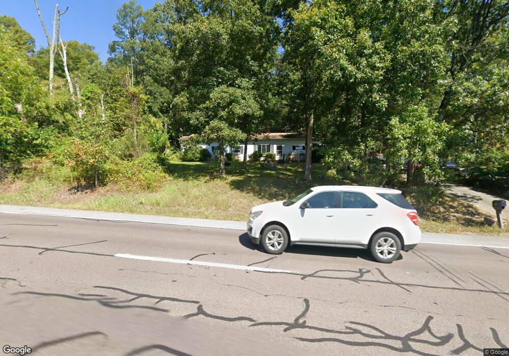
5101 State Route 61 Paxinos, PA 17860
Estimated Value: $61,000 - $137,000
--
Bed
--
Bath
--
Sq Ft
6,970
Sq Ft Lot
About This Home
This home is located at 5101 State Route 61, Paxinos, PA 17860 and is currently estimated at $108,085. 5101 State Route 61 is a home located in Northumberland County with nearby schools including Shamokin Area Elementary School, Shamokin Area Middle School, and Shamokin Area High School.
Ownership History
Date
Name
Owned For
Owner Type
Purchase Details
Closed on
Jun 12, 2014
Sold by
Eby Joshua L
Bought by
Herrold David A and Herrold Debra A
Current Estimated Value
Home Financials for this Owner
Home Financials are based on the most recent Mortgage that was taken out on this home.
Original Mortgage
$52,000
Outstanding Balance
$28,510
Interest Rate
4.5%
Mortgage Type
Adjustable Rate Mortgage/ARM
Estimated Equity
$79,575
Purchase Details
Closed on
Apr 25, 2008
Sold by
Hertzog Darrul L and Zinck Cynthia K
Bought by
Eby Joshua L
Home Financials for this Owner
Home Financials are based on the most recent Mortgage that was taken out on this home.
Original Mortgage
$57,500
Interest Rate
7.25%
Mortgage Type
Assumption
Create a Home Valuation Report for This Property
The Home Valuation Report is an in-depth analysis detailing your home's value as well as a comparison with similar homes in the area
Home Values in the Area
Average Home Value in this Area
Purchase History
| Date | Buyer | Sale Price | Title Company |
|---|---|---|---|
| Herrold David A | $65,000 | None Available | |
| Eby Joshua L | $50,000 | None Available |
Source: Public Records
Mortgage History
| Date | Status | Borrower | Loan Amount |
|---|---|---|---|
| Open | Herrold David A | $52,000 | |
| Previous Owner | Eby Joshua L | $57,500 |
Source: Public Records
Tax History Compared to Growth
Tax History
| Year | Tax Paid | Tax Assessment Tax Assessment Total Assessment is a certain percentage of the fair market value that is determined by local assessors to be the total taxable value of land and additions on the property. | Land | Improvement |
|---|---|---|---|---|
| 2025 | $741 | $9,150 | $1,360 | $7,790 |
| 2024 | $667 | $9,150 | $1,360 | $7,790 |
| 2023 | $667 | $9,150 | $1,360 | $7,790 |
| 2022 | $650 | $9,150 | $1,360 | $7,790 |
| 2021 | $635 | $9,150 | $1,360 | $7,790 |
| 2020 | $623 | $9,150 | $1,360 | $7,790 |
| 2019 | $607 | $9,150 | $1,360 | $7,790 |
| 2018 | $596 | $9,150 | $1,360 | $7,790 |
| 2017 | $555 | $9,150 | $1,360 | $7,790 |
| 2016 | -- | $9,150 | $1,360 | $7,790 |
| 2015 | -- | $9,150 | $1,360 | $7,790 |
| 2014 | -- | $9,150 | $1,360 | $7,790 |
Source: Public Records
Map
Nearby Homes
- 0 Roadarmel Ln
- 4523 State Route 61
- LOT 13 Oak Grove Rd
- 534 W Center St
- 352 Turkey Hill Rd
- 404 W Center St
- 0 W Valley Ave
- 7 Whitetail Dr
- 459 Overlook Blvd
- 0 Hillside Ave
- 6 Horne Dr
- 0 Heartland Blvd Unit WB-101932
- 0 2nd Ave
- 150 Blue Spruce Ln
- 0 Mountain Rd
- 163 W Center St
- 261 Hillside Ave
- LOT NO. 8 Oak Rd
- 435 Hollow Rd
- 130 Oak Rd