Estimated Value: $347,000 - $642,545
3
Beds
2
Baths
2,123
Sq Ft
$213/Sq Ft
Est. Value
About This Home
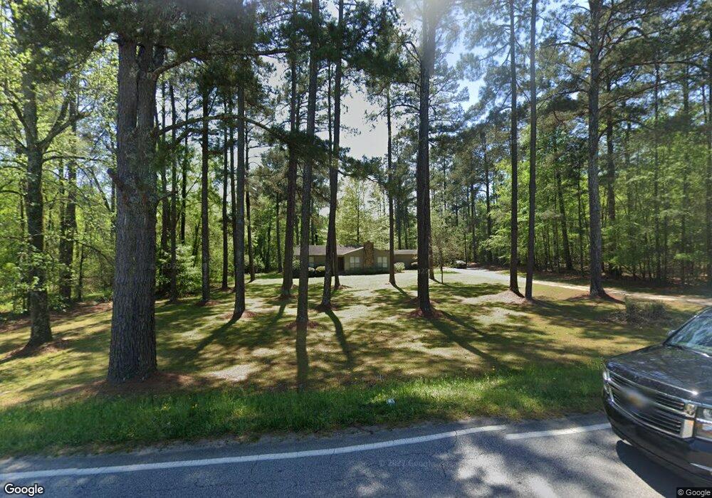
This home is located at 5102 Hereford Farm Rd, Evans, GA 30809 and is currently estimated at $452,886, approximately $213 per square foot. 5102 Hereford Farm Rd is a home located in Columbia County with nearby schools including Lewiston Elementary School, Evans Middle School, and NeoCity Academy.
Ownership History
Date
Name
Owned For
Owner Type
Purchase Details
Closed on
Sep 12, 2023
Sold by
Newsome Terry C
Bought by
Sunrise Bird Holding Llc
Current Estimated Value
Home Financials for this Owner
Home Financials are based on the most recent Mortgage that was taken out on this home.
Original Mortgage
$230,000
Outstanding Balance
$75,520
Interest Rate
7.09%
Mortgage Type
New Conventional
Estimated Equity
$377,366
Create a Home Valuation Report for This Property
The Home Valuation Report is an in-depth analysis detailing your home's value as well as a comparison with similar homes in the area
Home Values in the Area
Average Home Value in this Area
Purchase History
| Date | Buyer | Sale Price | Title Company |
|---|---|---|---|
| Sunrise Bird Holding Llc | $220,000 | -- | |
| Sunrise Bird Holding Llc | $110,000 | -- |
Source: Public Records
Mortgage History
| Date | Status | Borrower | Loan Amount |
|---|---|---|---|
| Open | Sunrise Bird Holding Llc | $230,000 | |
| Closed | Sunrise Bird Holding Llc | $230,000 |
Source: Public Records
Tax History Compared to Growth
Tax History
| Year | Tax Paid | Tax Assessment Tax Assessment Total Assessment is a certain percentage of the fair market value that is determined by local assessors to be the total taxable value of land and additions on the property. | Land | Improvement |
|---|---|---|---|---|
| 2025 | $5,938 | $249,125 | $175,947 | $73,178 |
| 2024 | $5,662 | $226,741 | $175,947 | $50,794 |
| 2023 | $1,123 | $63,684 | $15,247 | $48,437 |
| 2022 | $1,569 | $62,361 | $15,247 | $47,114 |
| 2021 | $1,541 | $58,669 | $14,968 | $43,701 |
| 2020 | $1,499 | $55,951 | $14,689 | $41,262 |
| 2019 | $1,444 | $53,979 | $14,689 | $39,290 |
| 2018 | $1,440 | $53,653 | $14,689 | $38,964 |
| 2017 | $1,429 | $53,082 | $14,689 | $38,393 |
| 2016 | $1,375 | $53,048 | $13,650 | $39,398 |
| 2015 | $1,353 | $52,140 | $13,650 | $38,490 |
| 2014 | $1,330 | $50,677 | $13,650 | $37,027 |
Source: Public Records
Map
Nearby Homes
- 805 Leslie Ct
- 2229 Millshaven Trail
- 484 Dickson Dr
- 5079 Wells Dr
- 5078 Fairington Dr
- 102 Highgrass Trail
- 703 Harrison Dr
- 5138 Fairington Dr
- 263 Asa Way
- 4879 Flagstone Ct
- 5108 Wells Dr
- 329 Streamsong Rd
- 117 Ellerston Dr
- 2214 Fossil Trace Ln
- Elle Plan at Southwind Village
- 125 Ellerston Dr
- Halton Plan at Southwind Village
- Elston Plan at Southwind Village
- 327 Streamsong Rd
- Mansfield Plan at Southwind Village
- 5102 Hereford Farm Rd
- 5102 Hereford Farm Rd
- 402 Brandywine Dr
- 5125 Hereford Farm Rd
- 705 Helen Ct
- 401 Brandywine Dr
- 703 Helen Ct
- 5078 Hereford Farm Rd
- 5078 Hereford Farm Rd
- 706 Helen Ct
- 2201 Millshaven Trail
- 704 Helen Ct
- 405 Brandywine Dr
- 2200 Millshaven Trail
- 702 Helen Ct
- 2205 Millshaven Trail
- 414 Brandywine Dr
- 2217 Millshaven Trail
- 802 Leslie Ct
- 2215 Millshaven Trail