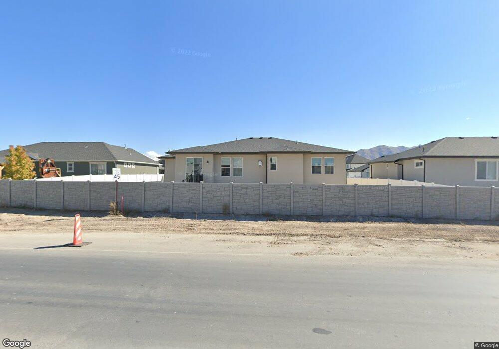
5102 N Foxtail Way Eagle Mountain, UT 84005
Estimated Value: $553,000 - $597,990
3
Beds
2
Baths
1,667
Sq Ft
$349/Sq Ft
Est. Value
About This Home
This home is located at 5102 N Foxtail Way, Eagle Mountain, UT 84005 and is currently estimated at $581,997, approximately $349 per square foot. 5102 N Foxtail Way is a home with nearby schools including Frontier Middle School, Cedar Valley High, and Ranches Academy.
Ownership History
Date
Name
Owned For
Owner Type
Purchase Details
Closed on
Jul 17, 2020
Sold by
Phillips Dustin and Phillips Jason
Bought by
Swiderski Peter Edmund and Swiderski Paula
Current Estimated Value
Home Financials for this Owner
Home Financials are based on the most recent Mortgage that was taken out on this home.
Original Mortgage
$313,100
Outstanding Balance
$277,636
Interest Rate
3.1%
Mortgage Type
New Conventional
Estimated Equity
$304,361
Purchase Details
Closed on
Mar 3, 2020
Sold by
Phillips Dustin
Bought by
Phillips Dustin and Phillips Jason
Home Financials for this Owner
Home Financials are based on the most recent Mortgage that was taken out on this home.
Original Mortgage
$289,000
Interest Rate
3.6%
Mortgage Type
Construction
Purchase Details
Closed on
Dec 6, 2019
Sold by
Patterson Constructino Inc
Bought by
Phillips Dustin
Create a Home Valuation Report for This Property
The Home Valuation Report is an in-depth analysis detailing your home's value as well as a comparison with similar homes in the area
Home Values in the Area
Average Home Value in this Area
Purchase History
| Date | Buyer | Sale Price | Title Company |
|---|---|---|---|
| Swiderski Peter Edmund | -- | Backman Title | |
| Phillips Dustin | -- | Backman Title Services Ltd | |
| Phillips Dustin | -- | Gt Title Services |
Source: Public Records
Mortgage History
| Date | Status | Borrower | Loan Amount |
|---|---|---|---|
| Open | Swiderski Peter Edmund | $313,100 | |
| Previous Owner | Phillips Dustin | $289,000 |
Source: Public Records
Tax History
| Year | Tax Paid | Tax Assessment Tax Assessment Total Assessment is a certain percentage of the fair market value that is determined by local assessors to be the total taxable value of land and additions on the property. | Land | Improvement |
|---|---|---|---|---|
| 2025 | $2,502 | $292,270 | -- | -- |
| 2024 | $2,502 | $270,325 | $0 | $0 |
| 2023 | $2,383 | $278,080 | $0 | $0 |
| 2022 | $2,239 | $255,255 | $0 | $0 |
| 2021 | $2,074 | $354,800 | $96,900 | $257,900 |
| 2020 | $976 | $89,700 | $89,700 | $0 |
Source: Public Records
Map
Nearby Homes
- 5131 N Old Cobble Way Unit 201
- 50 Aviator Ave
- 401 Aviator Ave
- 201 Aviator Ave
- 5169 N Old Cobble Way Unit 198
- 5073 N Folkstone Dr
- 732 E Stonebriar Dr
- 4957 N Sage Park Dr
- 683 E Verdant Dr
- 5179 N Pony Rider Way Unit 305
- 5147 N Oak Creek Dr
- 4842 N Goosefoot Dr
- 5456 Saddle Stone Dr Unit 511
- 5325 Honey Suckle Way Unit 646
- 5245 N Evergreen Way Unit 213
- 5249 N Evergreen Way Unit 212
- 5267 N Evergreen Way Unit 210
- 699 E Ryegrass Dr
- 689 E Ryegrass Dr
- 4854 N Cliffrose Dr
- 5116 N Foxtail Way
- 5109 N Blackbrush Dr
- 842 E Blackbrush Dr
- 5068 N Foxtail Way
- 856 E Blackbrush Dr
- 5123 N Blackbrush Dr
- 5134 N Foxtail Way
- 5104 N Blackbrush Dr
- 5097 N Foxtail Way
- 5113 N Foxtail Way
- 5077 N Foxtail Way Unit 339
- 5052 N Foxtail Way Unit 334
- 5131 N Foxtail Way
- 5150 N Foxtail Way
- 5057 N Foxtail Way
- 5164 N Honey Suckle Way
- 5137 N Blackbrush Dr
- 5137 N Blackbrush Dr Unit 348
- 5147 N Foxtail Way
- 5128 N Blackbrush Dr
Your Personal Tour Guide
Ask me questions while you tour the home.