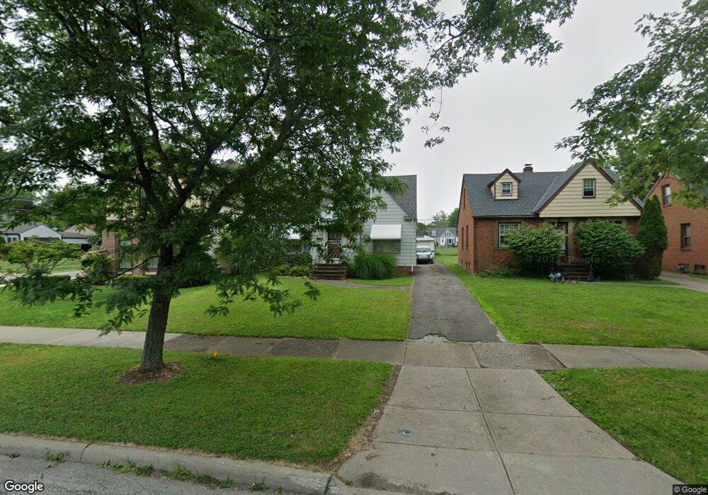
5103 Anthony St Maple Heights, OH 44137
Estimated Value: $103,159 - $147,000
3
Beds
1
Bath
1,174
Sq Ft
$101/Sq Ft
Est. Value
About This Home
This home is located at 5103 Anthony St, Maple Heights, OH 44137 and is currently estimated at $118,290, approximately $100 per square foot. 5103 Anthony St is a home located in Cuyahoga County with nearby schools including Abraham Lincoln Elementary School, Rockside/ J.F. Kennedy School, and Barack Obama School.
Ownership History
Date
Name
Owned For
Owner Type
Purchase Details
Closed on
Apr 14, 2011
Sold by
Secretary Of Housing & Urban Development
Bought by
Domzalski Thomas J
Current Estimated Value
Purchase Details
Closed on
Nov 6, 2009
Sold by
Jordan Robin Y
Bought by
Secretary Of Housing & Urban Development
Purchase Details
Closed on
Mar 11, 1999
Sold by
Screptock Merle E
Bought by
Jordan Robin Y
Home Financials for this Owner
Home Financials are based on the most recent Mortgage that was taken out on this home.
Original Mortgage
$70,961
Interest Rate
6.78%
Mortgage Type
FHA
Purchase Details
Closed on
May 20, 1992
Sold by
Pollack Dorothy J
Bought by
Screptock Merle E
Purchase Details
Closed on
Jul 19, 1985
Sold by
Pollack Mary
Bought by
Pollack Dorothy J
Purchase Details
Closed on
Jan 1, 1975
Bought by
Pollack Mary
Create a Home Valuation Report for This Property
The Home Valuation Report is an in-depth analysis detailing your home's value as well as a comparison with similar homes in the area
Home Values in the Area
Average Home Value in this Area
Purchase History
| Date | Buyer | Sale Price | Title Company |
|---|---|---|---|
| Domzalski Thomas J | $19,000 | Lakeside Title | |
| Secretary Of Housing & Urban Development | -- | None Available | |
| Jordan Robin Y | $71,000 | Quality Title Agency Inc | |
| Screptock Merle E | -- | -- | |
| Pollack Dorothy J | -- | -- | |
| Pollack Mary | -- | -- |
Source: Public Records
Mortgage History
| Date | Status | Borrower | Loan Amount |
|---|---|---|---|
| Previous Owner | Jordan Robin Y | $70,961 |
Source: Public Records
Tax History
| Year | Tax Paid | Tax Assessment Tax Assessment Total Assessment is a certain percentage of the fair market value that is determined by local assessors to be the total taxable value of land and additions on the property. | Land | Improvement |
|---|---|---|---|---|
| 2024 | $2,864 | $30,450 | $7,245 | $23,205 |
| 2023 | $2,133 | $19,080 | $4,380 | $14,700 |
| 2022 | $2,125 | $19,080 | $4,380 | $14,700 |
| 2021 | $2,264 | $19,080 | $4,380 | $14,700 |
| 2020 | $1,941 | $14,460 | $3,330 | $11,130 |
| 2019 | $1,931 | $41,300 | $9,500 | $31,800 |
| 2018 | $1,920 | $14,460 | $3,330 | $11,130 |
| 2017 | $1,795 | $13,020 | $3,080 | $9,940 |
| 2016 | $1,737 | $13,020 | $3,080 | $9,940 |
| 2015 | $1,731 | $13,020 | $3,080 | $9,940 |
| 2014 | $1,731 | $14,320 | $3,400 | $10,920 |
Source: Public Records
Map
Nearby Homes
- 5082 Philip Ave
- 17282 Mccracken Rd
- 5204 Anthony St
- 5210 Theodore St
- 5062 Lee Rd
- 5212 Catherine St
- 5231 Philip Ave
- 5246 Philip Ave
- 5031 Cato St
- 16351 Glenburn Ave
- 5177 Cato St
- 5150 Arch St
- 16706 Myrtle Ave
- 16241 Glenburn Ave
- 16174 Friend Ave
- 16101 Raymond St
- 16610 Priebe Ave
- 5239 Arch St
- 16907 Maple Heights Blvd
- 5100 Erwin St
- 5105 Anthony St
- 5101 Anthony St
- 5109 Anthony St
- 5111 Anthony St
- 5104 Clement Ave
- 5108 Clement Ave
- 5100 Clement Ave
- 5121 Anthony St
- 5112 Clement Ave
- 5116 Clement Ave
- 17101 Raymond St
- 17001 Raymond St
- 5106 Anthony St
- 5125 Anthony St
- 5100 Anthony St
- 5108 Anthony St
- 5120 Clement Ave
- 17111 Raymond St
- 5112 Anthony St
- 5131 Anthony St
Your Personal Tour Guide
Ask me questions while you tour the home.